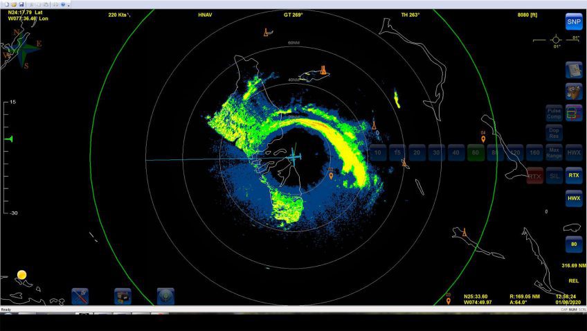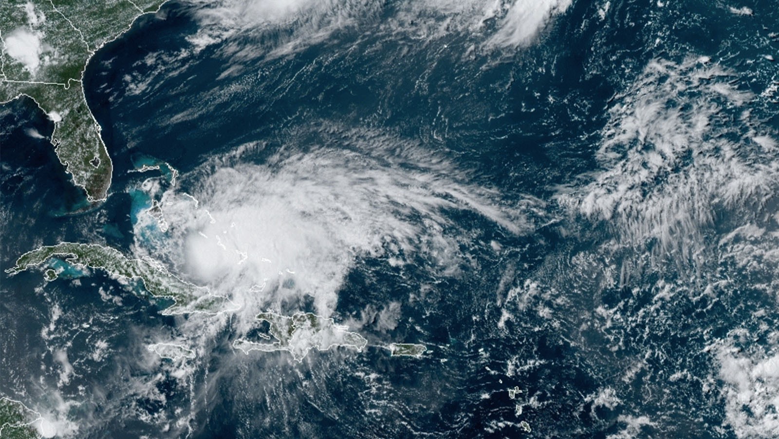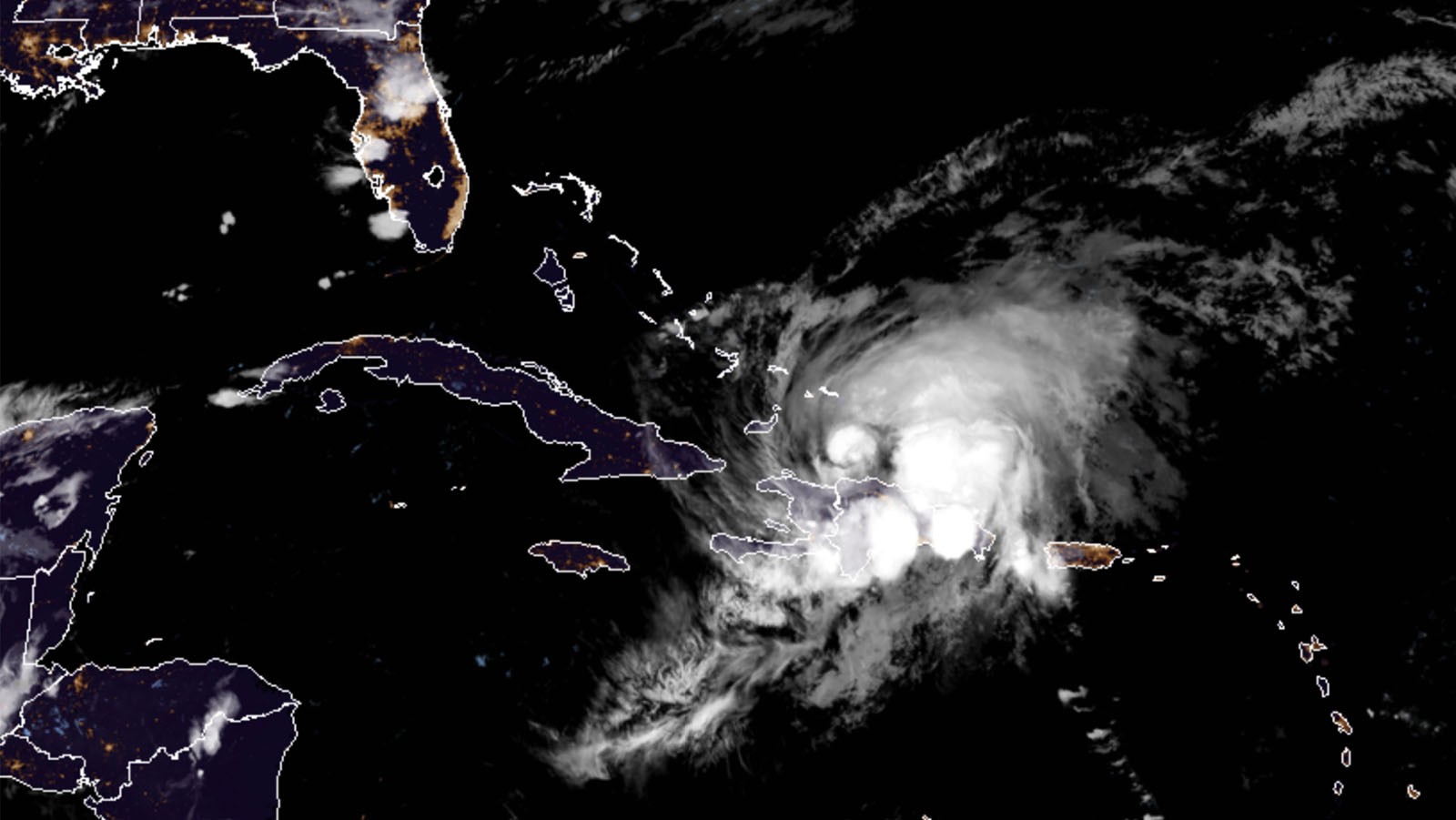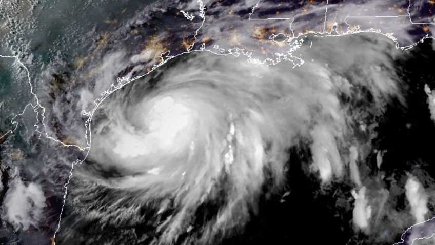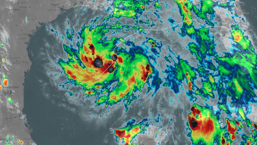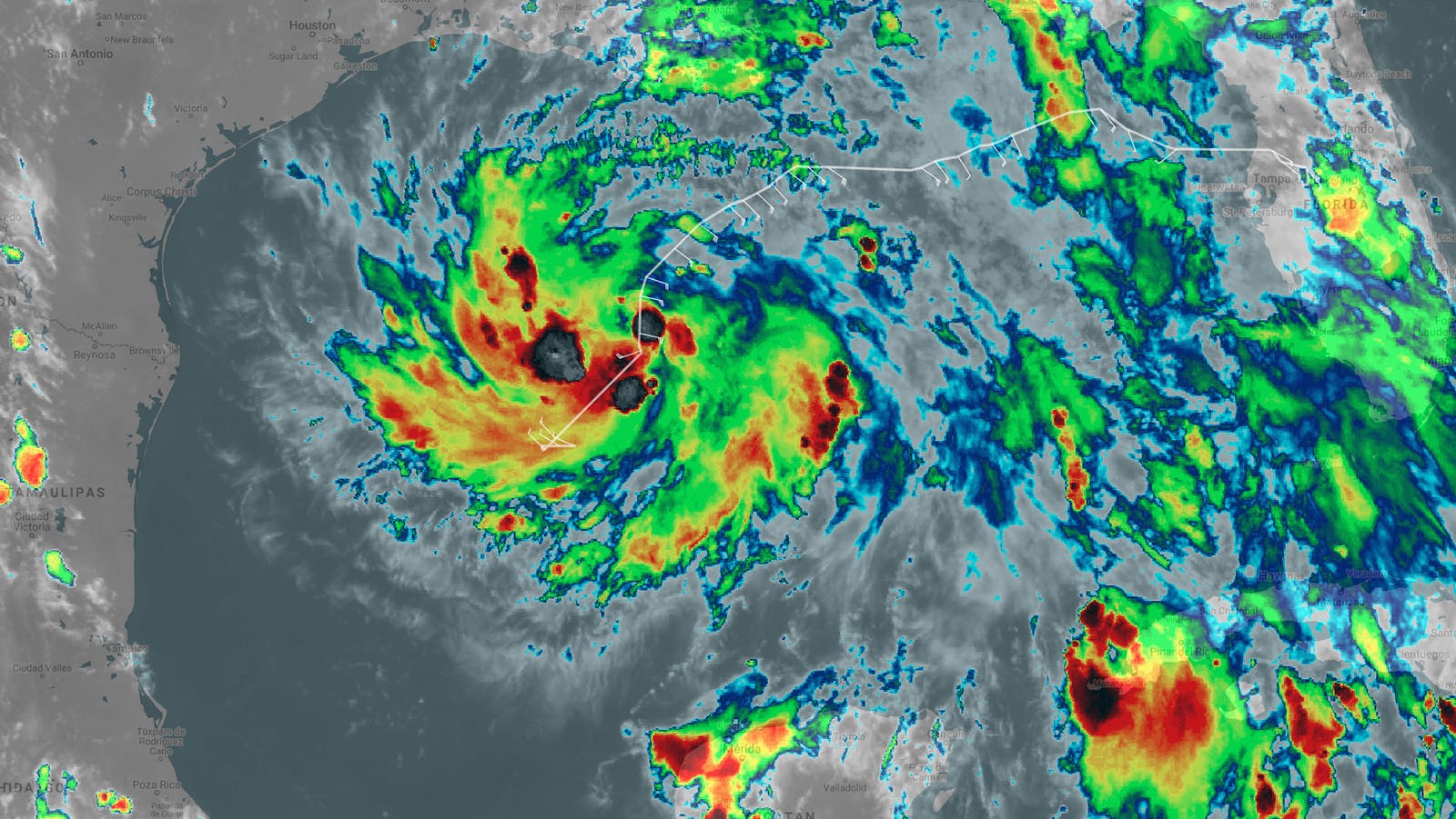
AOML Hurricane Scientists Confirm a Broad, Asymmetric Circulation as Isaias Approaches the U.S. Coast
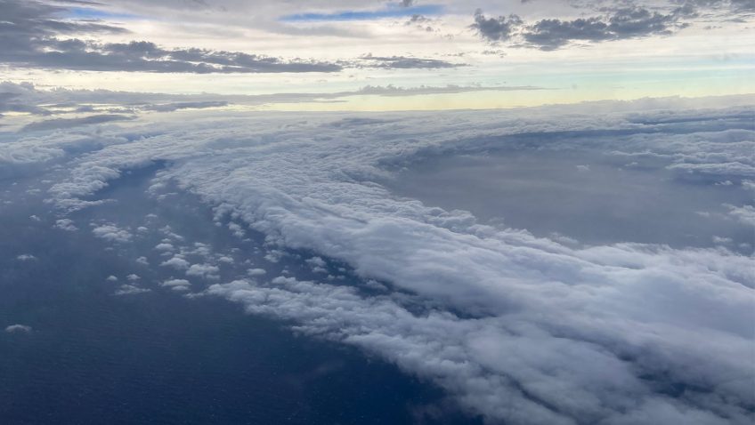
NOAA’s P-3 Hurricane Hunters concluded their Environmental Modeling Center (EMC) tasked reconnaissance into Tropical Storm Isaias with real-time support from AOML’s Hurricane Research Division. The aircraft took off Monday, August 3 at 5 AM EDT, from Lakeland, Florida.