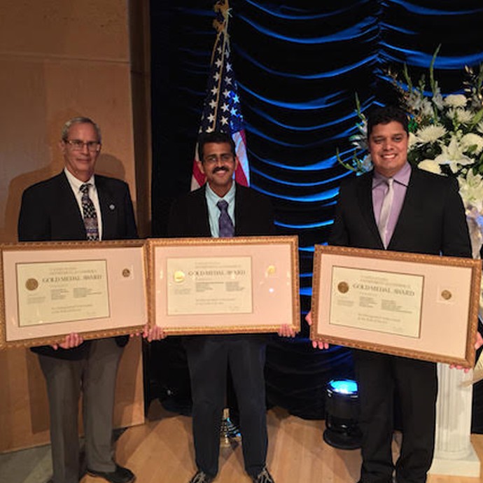
X-Band Satellite Receiver Installation

On Tuesday, September 16, 2014, a new X/L-band satellite receiving system was installed on the roof of AOML, augmenting the existing L-band antenna. This new system will expand AOML capabilities to receive telemetry and create products from the next generation of NOAA’s polar-orbiting environmental satellites, including Suomi NPP and the Joint Polar Satellite System (JPSS) constellation. Infrared and microwave sounder data from the system will be delivered to NOAA NCEP for assimilation in NWP models.

Read Full Article

Hurricane Scientists Bring a New Wave of Technology to Improve Forecasts

Scientists at NOAA’s Atlantic Oceanographic and Meteorological Laboratory are at the forefront of hurricane research to improve track and intensity forecasts. Every hurricane season they fly into storms, pour over observations and models, and consider new technological developments for how to enhance NOAA’s observing capabilities. The 2014 hurricane season will provide an opportunity to test some of the most advanced and innovative technologies, including unmanned hurricane hunter aircraft and sea gliders, which will help scientists better observe and, eventually, better predict a storm’s future activity.

Read Full Article

The Science Behind Coral Bleaching in the Florida Keys

2014 was a relatively warm summer in South Florida, and local divers noticed the effects of this sustained weather pattern. Below the ocean surface, corals were bleaching. In the month of August, the Coral Bleaching Early Warning Network, jointly supported by Mote Marine Lab and NOAA’s Florida Keys National Marine Sanctuary, received 34 reports describing paling or partial bleaching and an additional 19 reports indicating significant bleaching. Scientists continue to monitor the impact of this severe bleaching event to determine the extent of coral mortality.

Read Full Article

All Systems Are Go for NOAA to Release an Unmanned Aircraft Within a Hurricane

NOAA hurricane hunters are prepared to enter a new chapter in the use of unmanned aircraft systems: deploying an unmanned aircraft from an airplane inside a hurricane. Starting on September 14, 2014, NOAA’s hurricane hunting manned aircraft fleet will fly into position to observe any developing tropical systems in the Atlantic using this new tool. The Coyote unmanned aircraft will be the first unmanned aircraft deployed directly inside a hurricane from NOAA hurricane hunter aircraft. The goal of the Coyote is to collect temperature, pressure and wind observations below 3,000 feet, where manned aircraft can not fly safely.

Read Full Article

NOAA Launches Coyote UAS from P-3 Hurricane Hunter into Hurricane Edouard

NOAA successfully deployed unmanned aircraft from a NOAA P-3 Hurricane Hunter directly into a hurricane for the first time. NOAA deployed four Coyote Unmanned Aircraft Systems (UAS) in Hurricane Edouard during flights conducted September 15-17, 2014 out of Bermuda. Scientists on board the P-3 aircraft received meteorological data from the Coyote UAS in both the eye and surrounding eyewall of Hurricane Edouard.

Read Full Article

Summer Interns Help Create a Hands-on Outreach Demonstration

MAST Academy interns Arturo Toro, Michelle Mestres, and Ryan Winslow from MAST Academy set up the experiment to illustrate some of the effects of changing salinity on density and the buoyancy of objects. (credit: NOAA/AOML)   Three summer interns collaborated with AOML’s Physical Oceanography Division to develop a hands-on outreach demonstration experiment that will be a useful tool […]

Read Full Article

NOAA’s Array of Drifting Ocean Buoys

Drifting buoys are a primary tool used by the oceanographic community to measure ocean surface circulation at unprecedented resolution. A drifter is composed of a surface float, which includes a transmitter to relay data via satellite, and a thermometer that reads temperature a few centimeters below the air-sea interface. The surface float is tethered to a holey sock drogue (a.k.a. “sea anchor”), centered at 15 m depth. The drifter follows the ocean surface current flow integrated over the drogue depth.

Read Full Article