
Ryan Smith, Robert Roddy, and Jay Hooper conducted a hydrographic survey along 27N in the Florida Straits aboard the R/V F.G. Walton Smith December 11-12, 2014. The cruise was performed as part of the Western Boundary Time Series project, which conducts regular surveys such as this to quantify Florida Current volume transport and water mass changes in the Straits of Florida. This survey and others also help to calibrate daily estimates of the Florida Current volume transport derived from a submarine telephone cable deployed across the Straits.
Photo credit: NOAA
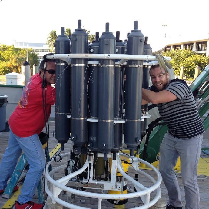
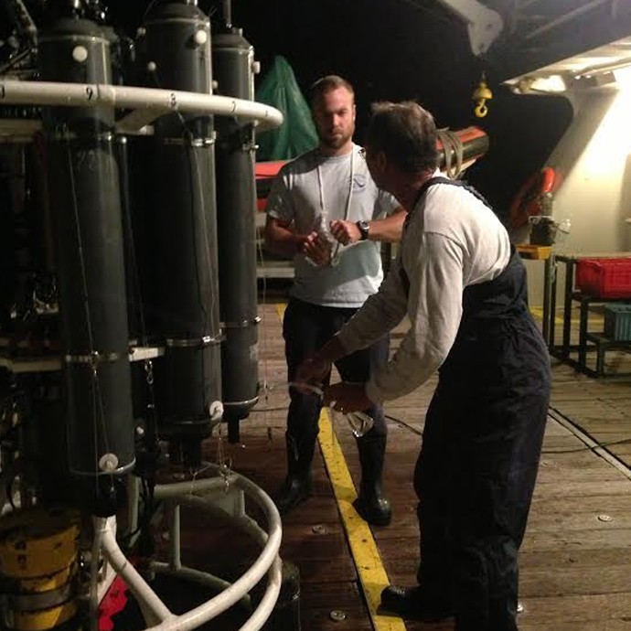
Image Captions
From Left:
- CTD/O2/LADCP instrument being loaded onto the deck of the R/V F.G. Walton Smith. Image credit: NOAA
- Jay Hooper and Robert Roddy draw samples from large niskin bottles fixed to the CTD/O2/LADCP instrument package for dissolved oxygen and salinity sensor calibration following a station. Image credit: NOAA.
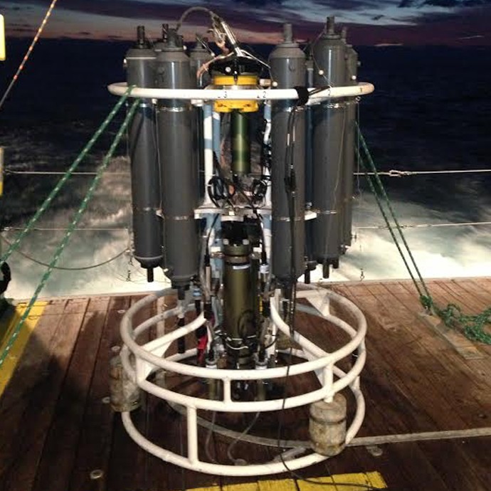
- AOML’s CTD/O2/LADCP instrument package is recovered, secured, and ready for sampling following the first station at 27N in the Florida Straits. Image credit: NOAA