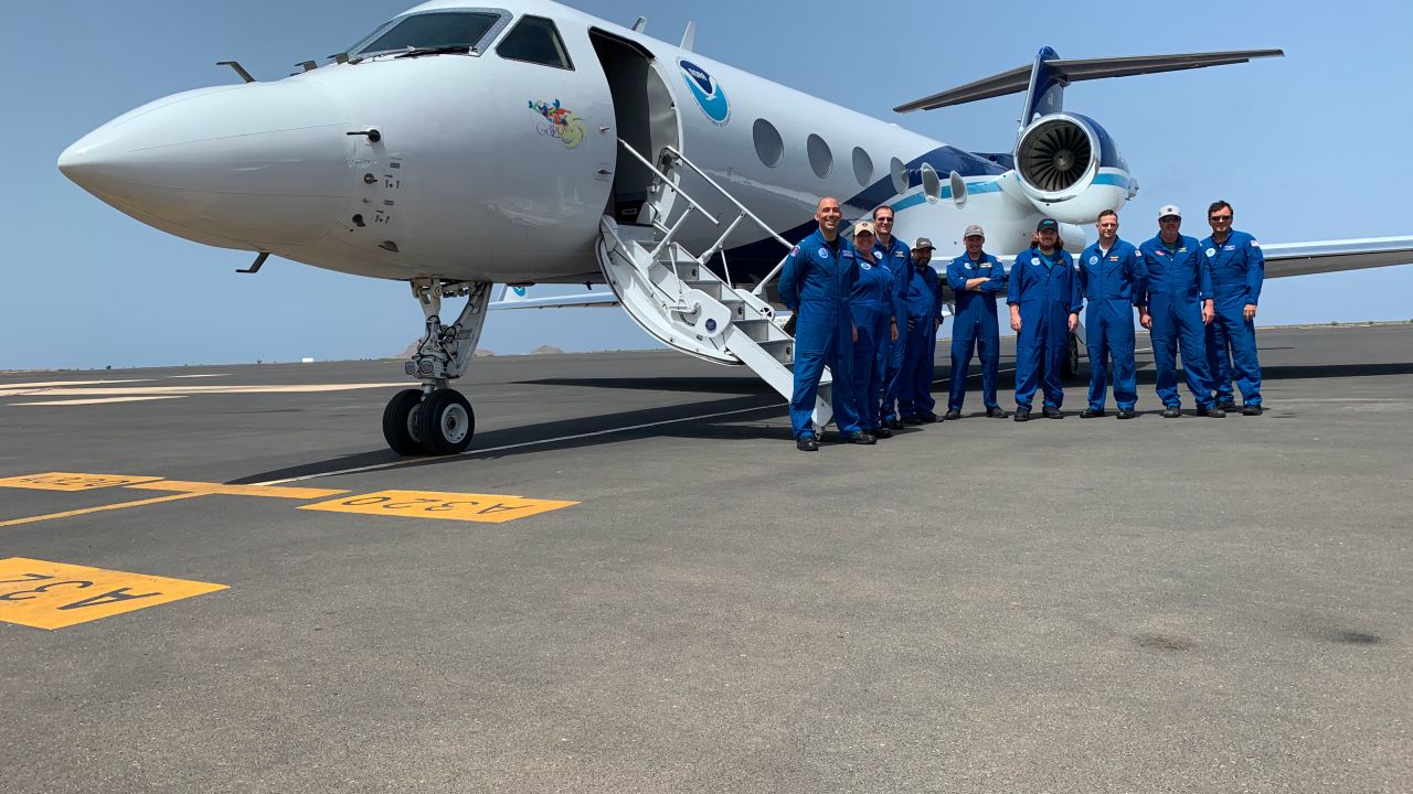

Scientists at AOML deployed to the Cabo Verde islands in August to explore how tropical waves that move off the coast of West Africa develop into tropical storms and hurricanes. These first-ever missions thousands of miles across the Atlantic mark the farthest distance traveled by NOAA’s Hurricane Hunters to help forecast models better predict the future track and intensity of developing storms.
The region produces some of the Atlantic’s longest lasting, most intense hurricanes. Storms that develop here, known as Cape Verde hurricanes, make up more than half of the named tropical systems that annually form. They also account for more than 80-85% of all major hurricanes, i.e., Category-3 and above, that strike the United States.
Jason Dunion and Jon Zawislak, both University of Miami-Cooperative Institute scientists at AOML and the director/deputy director, respectively, of NOAA’s 2022 Hurricane Field Program, worked jointly with colleagues from the National Aeronautics and Space Administration (NASA), Office of Naval Research (ONR), and other NOAA offices to plan the groundbreaking project.
Scientists, engineers, and flight crews deployed to Sal Island in the eastern Atlantic, a journey of more than 3,600 miles, in support of NASA’s Convective Processes Experiment-Cabo Verde (CPEX-CV), NOAA’s Advancing the Prediction of Hurricanes Experiment (APHEX), and ONR’s Tropical Cyclone Rapid Intensification (TCRI) experiment.
Zawislak served as the lead project scientist for NASA’s concurrent month-long CPEX-CV mission, organizing the science plan, configuring flight crews for an assortment of experiments, and ensuring project objectives were met.
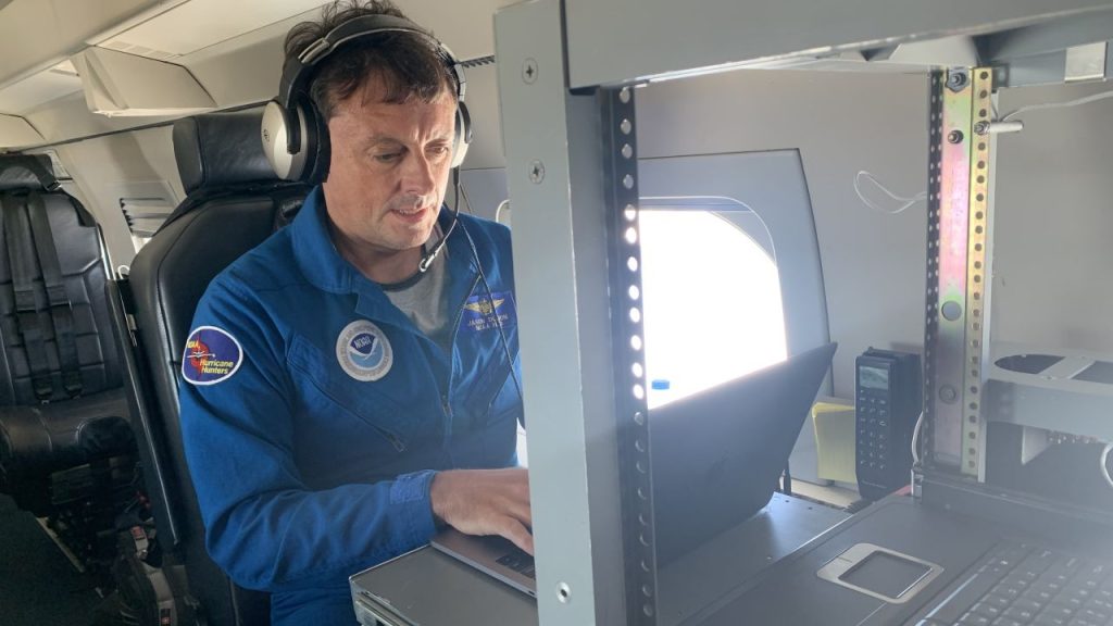
Dunion led NOAA’s APHEX science mission on the Gulfstream-IV (G-IV) Hurricane Hunter jet to test new targeted sampling techniques for optimizing aircraft observations. Targeted sampling improves forecasts by determining the best locations for where to gather data in the storm environment.
“The National Hurricane Center provides a 5-day forecast for future potential storms,” said Dunion. “And we can see a time coming when it’s going to be a 7-day forecast. If you’re looking out 7 days, you really need to be looking out farther east, out toward Cape Verde.”
During three 8-hour missions in the skies above Sal Island, the G-IV science crew sampled an area of disturbed weather, a “potential storm,” and a dense mass of Saharan dust, known as the Saharan Air Layer, just to its north.
Dropsondes launched from the G-IV at altitudes as high as 45,000 feet measured a host of atmospheric variables, including barometric pressure, temperature, humidity, and winds as they fell toward the ocean. Forecast model ensembles were used to identify optimal dropsonde locations to improve model forecasts of the tropical wave’s intensity and future track.
These observations will be used to study how Saharan dust blowing off the African coast intermingles with tropical waves and affects their development. Forecast models will also benefit from the observations: More real-time data of what’s occurring in the atmosphere when storms are in their formative, earliest stage will help the models better predict their track and intensity as they travel the broad expanse of the Atlantic.
Although an ocean away, the research conducted in this rarely sampled region will help unlock the complex dynamics of how tropical waves form into tropical depressions, a key phase in the life cycle of tropical cyclones.
With the first Cabo Verde missions now completed, scientists at AOML will work with their NOAA colleagues to assess the potential value of expanding future hurricane reconnaissance efforts farther east in the Atlantic, all for the benefit of improving track and intensity forecasts.