

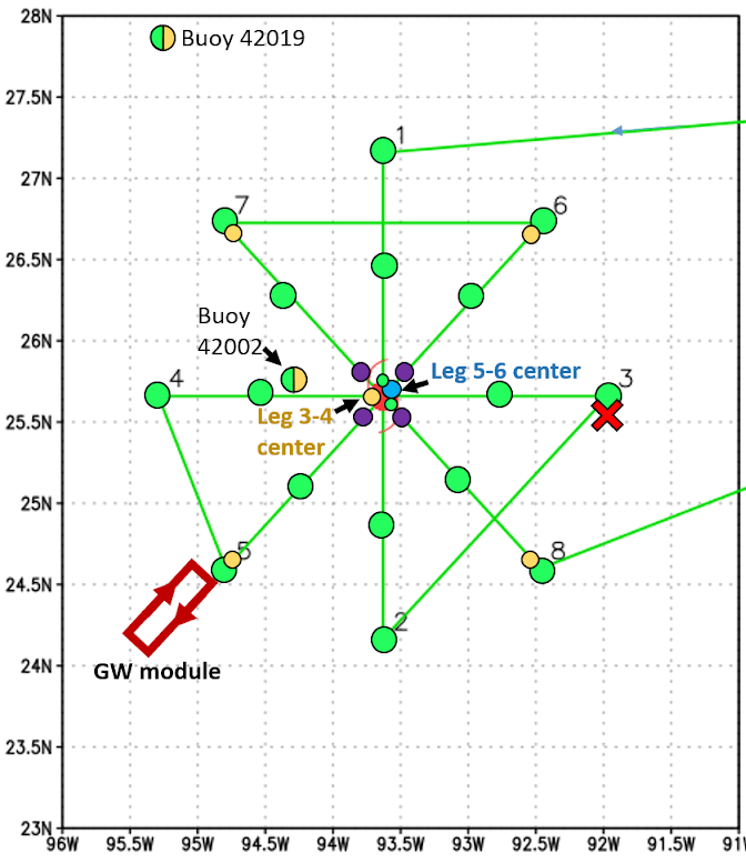
NOAA concludes Environmental Modeling Center (EMC) tasked reconnaissance for Major Hurricane Delta on October 9. The P-3 aircraft took off from Lakeland, FL at 5:00 AM EDT to survey the system’s circulation.
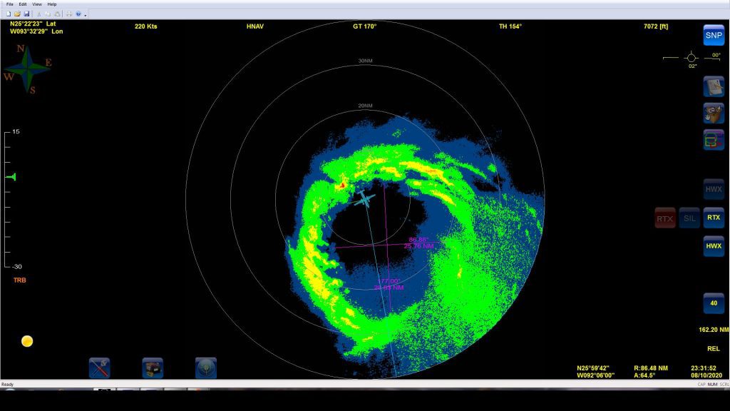
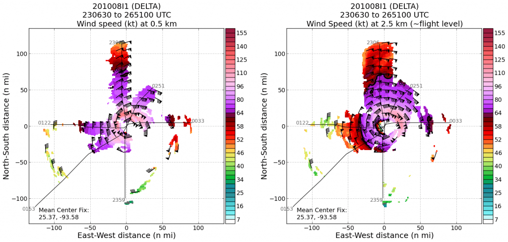
Passing through the center multiple times, scientists at AOML onboard and remotely supporting the missions continue to evaluate data collected from dropsondes, Airborne Expendable BathyThermograph (AXBT) ocean sensors, Tail Doppler Radar (TDR), Stepped Frequency Microwave Radiometer and other onboard instrumentation.
These data remain essential for the prediction of Major Hurricane Delta as it nears the Gulf Coast. Used to initialize hurricane models as the aircraft is flying, these measurements provide hurricane experts with the most current information about Delta’s intensity, size, and precipitation characteristics.
While performing objectives defined by EMC, hurricane scientists will also guide the aircraft through a series of science goals which include investigating landfall processes that dictate the evolution of the storm’s circulation as it imposes hazards across the southeastern U.S.
Scientists at AOML have indicated that Major Hurricane Delta remains a strong and large tropical cyclone, able to fight off the increasingly hostile conditions experienced by the system.
The National Hurricane Center (NHC) expects Hurricane Delta to make landfall in Louisiana, potentially producing dangerous rainfall, wind, and storm surge conditions. Measurements obtained during these flights have been vital to NHC’s prediction for this system, as reflected in forecast discussions.
In addition to improving the prediction of Delta in real time, data collected during this sequence of missions through landfall will allow scientists to study the development and lifecycle of Major Hurricane Delta to improve hurricane prediction in future seasons.
For details about reconnaissance aircraft missions, please see NOAA’s official Plan of the Day.
For the latest information about tropical cyclones and other weather systems, visit the NOAA National Weather Service National Hurricane Center.
For information on numerical prediction of tropical cyclones, visit the NOAA National Centers for Environmental Prediction Environmental Modeling Center.