
A new study published in Geophysical Research Letters looks at the relationship between how fast a tropical cyclone intensifies and the amount of ice in the clouds that make up the storm. Hurricane scientists found that tropical cyclones with greater amounts of cloud ice are likely to intensify faster than those with less cloud ice.
These observations of cloud ice can be used to improve hurricane forecast models and better the nation’s ability to prepare for and respond to these natural disasters.
“The amount of ice in tropical cyclone clouds can be used to help predict the intensification rate of these storms,” said Ghassan Alaka, PhD, a hurricane scientist at NOAA’s Atlantic Oceanographic and Meteorological Laboratory. “When forecasters see a signal that indicates higher amounts of cloud ice, the results of this study provide evidence that the cyclone has a higher chance of rapidly intensifying.”
It is difficult to accurately forecast a tropical cyclone’s intensity. According to Alaka, the biggest problem is forecasting when intensity increases dramatically in a short period of time, known as rapid intensification.
“Rapid intensification can elude even the most sophisticated models we have available, so we are constantly searching for indicators that can help us nail down when it will occur,” Alaka said.
Cloud ice can help determine the strength and organization of thunderstorms in a tropical cyclone, which can be related to the maximum wind speed near the surface. Thunderstorm activity is stronger and more organized when more cloud ice is present. Cloud ice can measure how much moisture is being transported from the surface to higher altitudes in these storms. As moisture and air are evacuated upwards in the storm, it is replaced by more air and moisture that is transported horizontally near the surface. This can lead to an increase in the maximum wind speed.
Two types of cloud ice data were used in this study: 1) observations from NASA’s CloudSat, and 2) forecasts from an experimental version of NOAA’s high-resolution Hurricane Weather Research and Forecasting (HWRF) model.
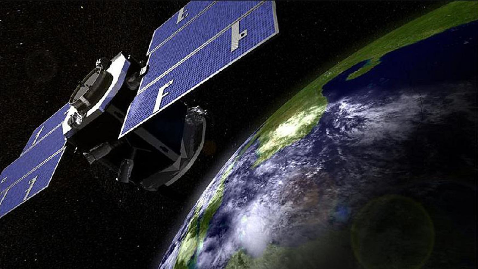
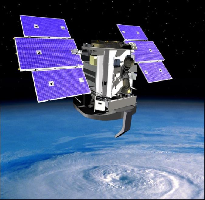
CloudSat is an experimental satellite that observes clouds and precipitation from space. It uses a special downward-looking radar to measure the amount of energy that is reflected by a cloud that, when combined with temperature data, estimates how much ice is in the cloud.
NOAA’s HWRF model predicts the amount of ice in clouds as part of its forecast system. Both CloudSat measurements and HWRF simulations provided high-resolution data sets of ice water content, which helped scientists better understand the relationship between cloud ice and intensification.
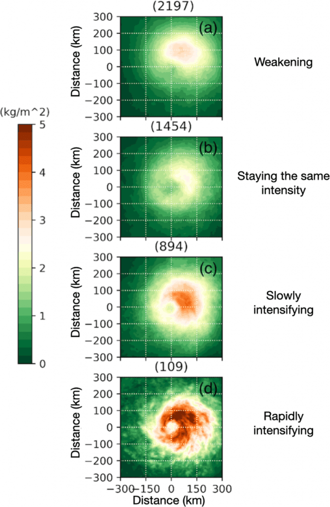
Hurricane scientists found that rapidly intensifying tropical cyclones have larger ice water content compared to tropical cyclones with slower intensification rates, even after accounting for the effect of initial tropical cyclone intensity.
“CloudSat and HWRF provided two independent evaluations of cloud ice,” said Alaka. “The fact that the results from these two data sets were so similar provides confidence that cloud ice from both satellite measurements and high-resolution model simulations can be used to accurately predict the intensification rate of tropical cyclones.”