Category: Scientific Papers (Abstract & PDF)

Vertical Turbulent Cooling of the Mixed Layer in the Atlantic ITCZ and Trade Wind Regions

Foltz, G. R., Hummels, R., Dengler, M., Perez, R. C., & de Araujo, M. (2020). Vertical turbulent cooling of the mixed layer in the Atlantic ITCZ and trade wind regions. Journal of Geophysical Research: Oceans, 125, e2019JC015529. https://doi.org/10.1029/2019JC015529

Abstract:
The causes of the seasonal cycle of vertical turbulent cooling at the base of the mixed layer are assessed using observations from moored buoys in the tropical Atlantic Intertropical Convergence Zone (ITCZ) (4N, 23W) and trade wind (15N, 38W) regions together with mixing parameterizations and a one-dimensional model. At 4N the parameterized turbulent cooling rates during 2017–2018 and 2019 agree with indirect estimates from the climatological mooring heat budget residual: both show mean cooling of 25–30W/m^2 during November–July, when winds are weakest and the mixed layer is thinnest, and 0–10W/m^2 during August–October. Mixing during November–July is driven by variability on multiple time scales, including subdiurnal, near-inertial, and intraseasonal…

Read Full Paper

Read Full Article

Advances in the Application of Surface Drifters

Lumpkin, R., Özgökmen, T., & Centurioni, L. (2017). Advances in the application of surface drifters. Annual Review of Marine Science, 9, 59-81.

Abstract:

Surface drifting buoys, or drifters, are used in oceanographic and climate research, oil spill tracking, weather forecasting, search and rescue operations, calibration and validation of velocities from high-frequency radar and from altimeters, iceberg tracking, and support of offshore drilling operations. In this review, we present a brief history of drifters, from the message in a bottle to the latest satellite-tracked, multisensor drifters. We discuss the different types of drifters currently used for research and operations as well as drifter designs in development. We conclude with a discussion of the various properties that can be observed with drifters, with heavy emphasis on a critical process that cannot adequately be observed by any other instrument: dispersion in the upper ocean, driven by turbulence at scales from waves through the submesoscale to the large-scale geostrophic eddies.

Download Full PDF

Read Full Article

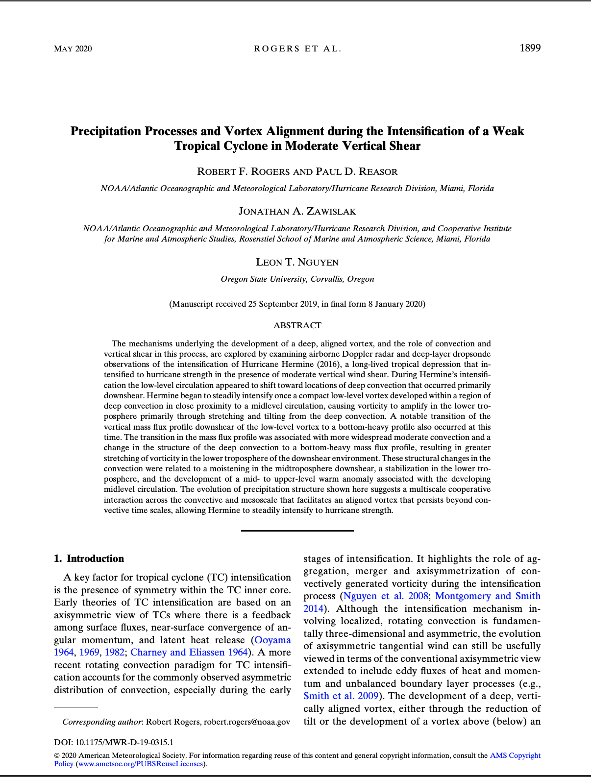
Precipitation Processes and Vortex Alignment during the Intensification of a Weak Tropical Cyclone in Moderate Vertical Shear

Rogers, R. F., Reasor, P. D., Zawislak, J. A., & Nguyen, L. T. (2020). Precipitation Processes and Vortex Alignment during the Intensification of a Weak Tropical Cyclone in Moderate Vertical Shear. Monthly Weather Review, (2020).

Abstract:

The mechanisms underlying the development of a deep, aligned vortex, and the role of convection and vertical shear in this process, are explored by examining airborne Doppler radar and deep-layer dropsonde observations of the intensification of Hurricane Hermine (2016), a long-lived tropical depression that intensified to hurricane strength in the presence of moderate vertical wind shear. During Hermine’s intensification the low-level circulation appeared to shift toward locations of deep convection that occurred primarily downshear. Hermine began to steadily intensify once a compact low-level vortex developed within a region of deep convection in close proximity to a midlevel circulation, causing vorticity to amplify in the lower troposphere primarily through stretching and tilting from the deep convection…

Download PDF

Read Full Article

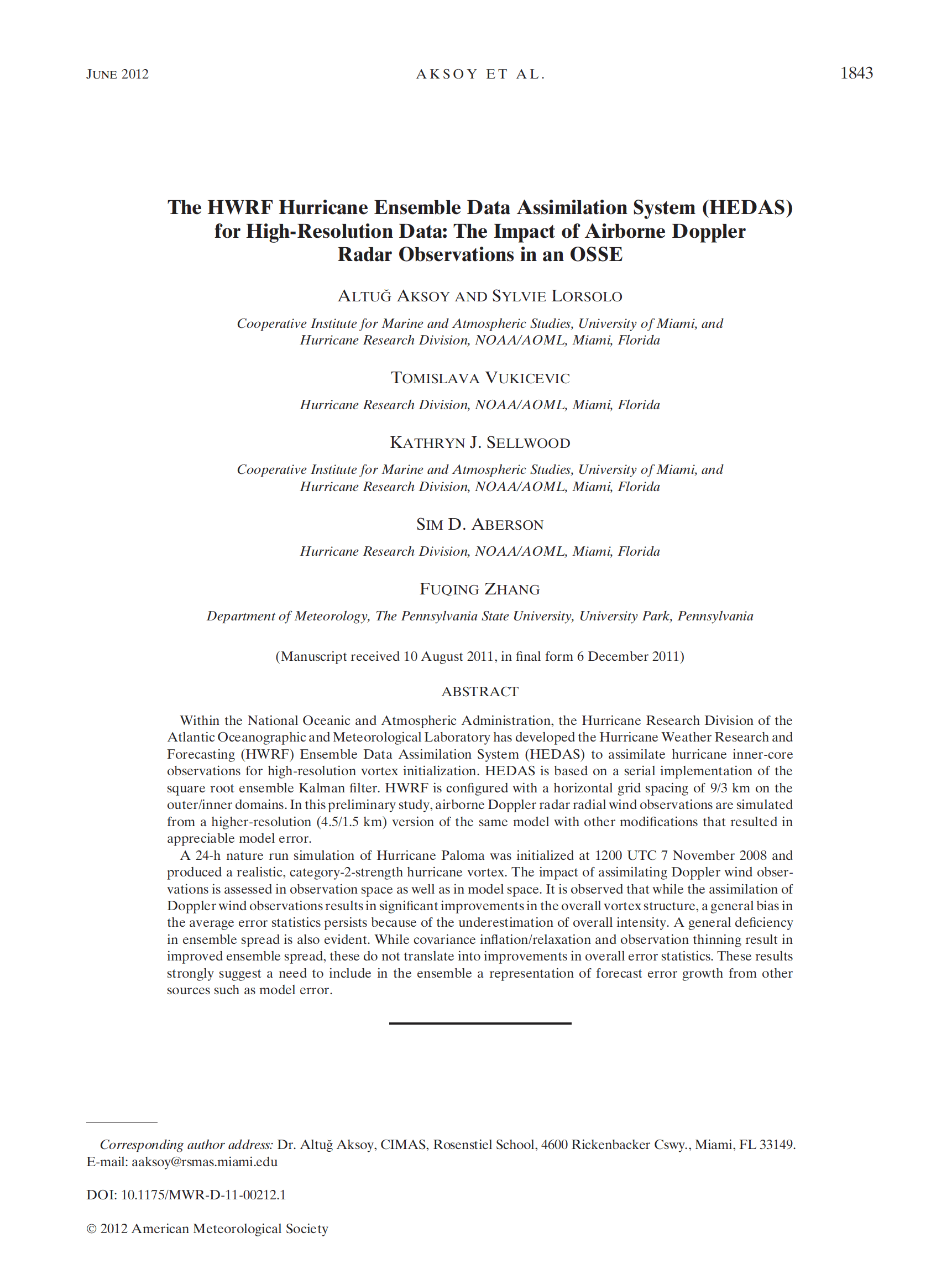
The HWRF Hurricane Ensemble Data Assimilation System (HEDAS) for High-Resolution Data: The Impact of Airborne Doppler Radar Observations in an OSSE

Aksoy, A., S. Lorsolo, T. Vukicevic, K.J. Sellwood, S.D. Aberson, and F. Zhang, 2012: The HWRF Hurricane Ensemble Data Assimilation System (HEDAS) for High-Resolution Data: The Impact of Airborne Doppler Radar Observations in an OSSE. Mon. Wea. Rev., 140, 1843–1862, https://doi.org/10.1175/MWR-D-11-00212.1

Abstract:

Within the National Oceanic and Atmospheric Administration, the Hurricane Research Division of the Atlantic Oceanographic and Meteorological Laboratory has developed the Hurricane Weather Research and Forecasting (HWRF) Ensemble Data Assimilation System (HEDAS) to assimilate hurricane inner-core observations for high-resolution vortex initialization. HEDAS is based on a serial implementation of the square root ensemble Kalman filter. HWRF is configured with a horizontal grid spacing of 9/3 km on the outer/inner domains. In this preliminary study, airborne Doppler radar radial wind observations are simulated from a higher-resolution (4.5/1.5 km) version of the same model with other modifications that resulted in appreciable model error. A 24-h nature run simulation of Hurricane Paloma was initialized at 1200 UTC 7 November 2008 and produced a realistic, category-2-strength hurricane vortex. The impact of assimilating Doppler wind observations is assessed in observation space as well as in model space. It is observed that while the assimilation of Doppler wind observations results in significant improvements in the overall vortex structure, a general bias in the average error statistics persists because of the underestimation of overall intensity. A general deficiency in ensemble spread is also evident. While covariance inflation/relaxation and observation thinning result in improved ensemble spread, these do not translate into improvements in overall error statistics. These results strongly suggest a need to include in the ensemble a representation of forecast error growth from other sources such as model error.

Download PDF

Read Full Article

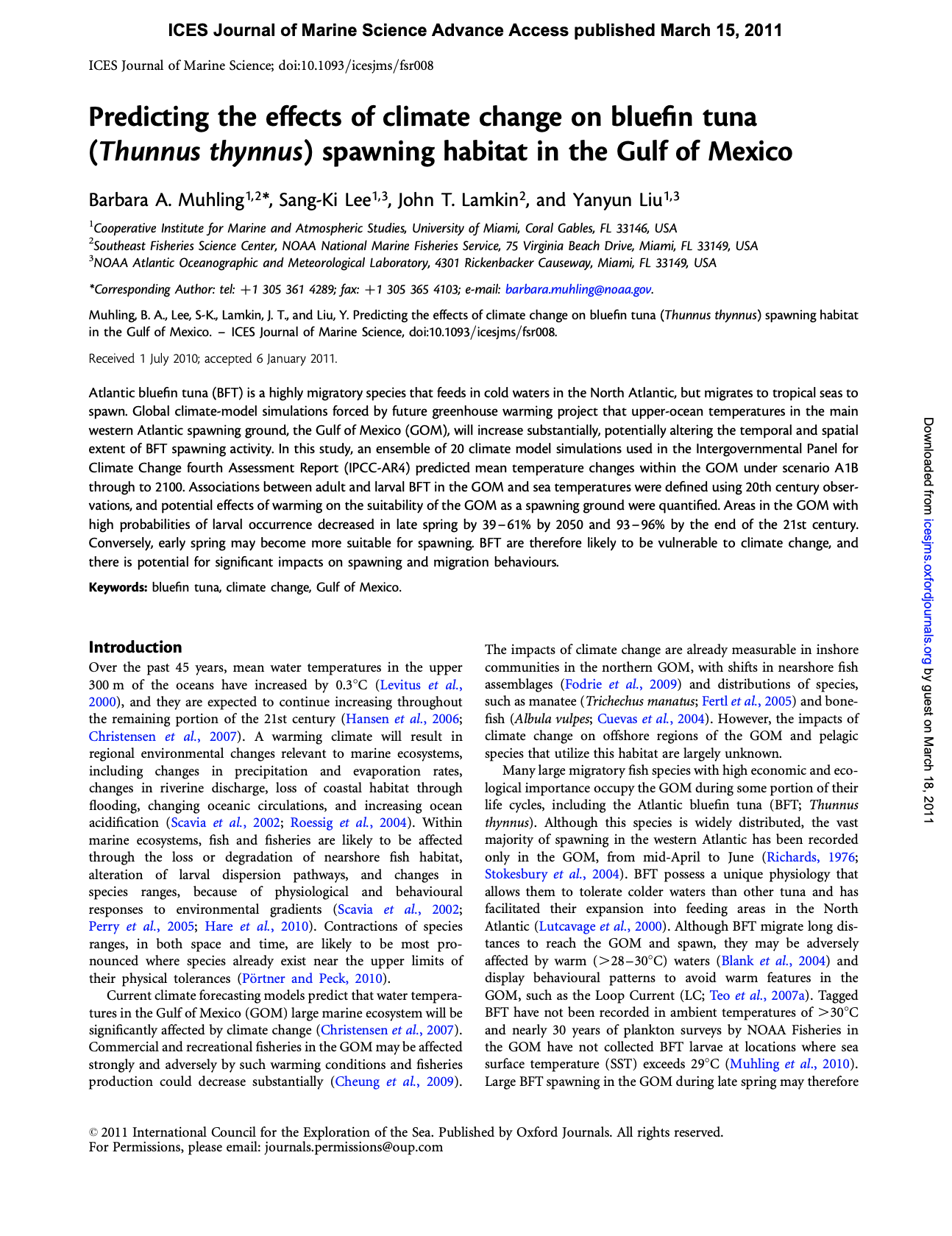
Predicting the effects of climate change on bluefin tuna (Thunnus thynnus) spawning habitat in the Gulf of Mexico

Muhling, B. A., S.-K. Lee, J. T. Lamkin and Y. Liu, 2011. Predicting the Effects of Climate Change on Bluefin Tuna (Thunnus thynnus) Spawning habitat in the Gulf of Mexico. ICES Journal of Marine Science, doi:10.1093/icesjms/fsr008

Abstract:

Atlantic bluefin tuna (BFT) is a highly migratory species that feeds in cold waters in the North Atlantic, but migrates to tropical seas to spawn. Global climate-model simulations forced by future greenhouse warming project that upper-ocean temperatures in the main western Atlantic spawning ground, the Gulf of Mexico (GOM), will increase substantially, potentially altering the temporal and spatial extent of BFT spawning activity. In this study, an ensemble of 20 climate model simulations used in the Intergovernmental Panel for Climate Change fourth Assessment Report (IPCC-AR4) predicted mean temperature changes…

Download PDF

Read Full Article

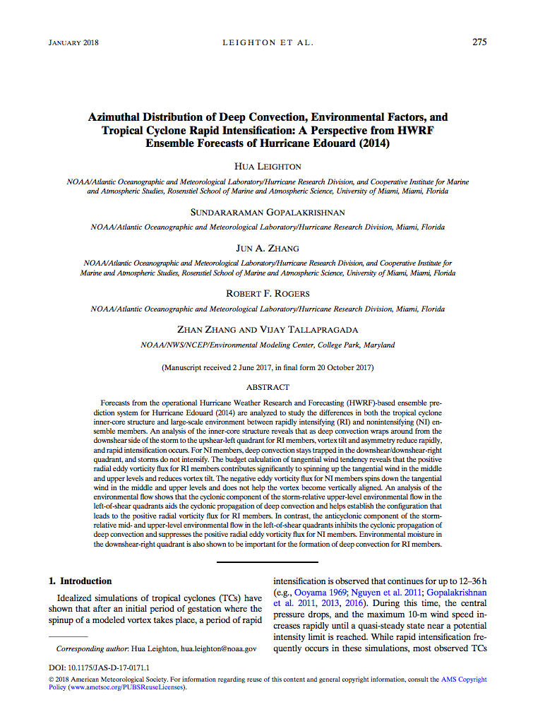
Azimuthal Distribution of Deep Convection, Environmental Factors, and Tropical Cyclone Rapid Intensification: A Perspective from HWRF Ensemble Forecasts of Hurricane Edouard (2014)

Leighton, H., Gopalakrishnan, S., Zhang, J. A., Rogers, R. F., Zhang, Z., & Tallapragada, V. (2018). Azimuthal distribution of deep convection, environmental factors, and tropical cyclone rapid intensification: A perspective from HWRF ensemble forecasts of Hurricane Edouard (2014). Journal of the Atmospheric Sciences, 75(1), 275-295.

Abstract: Forecasts from the operational Hurricane Weather Research and Forecasting (HWRF)-based ensemble prediction system for Hurricane Edouard (2014) are analyzed to study the differences in both the tropical cyclone inner-core structure and large-scale environment between rapidly intensifying (RI) and non intensifying (NI) ensemble members. An analysis of the inner-core structure reveals that as deep convection wraps around from the downshear side of the storm to the upshear-left quadrant for RI members, vortex tilt and asymmetry reduce rapidly, and rapid intensification occurs…

Download Full PDF

Read Full Article

Rewriting the Climatology of the Tropical North Atlantic and Caribbean Sea Atmosphere

Dunion, J.P., 2011: Re-writing the climatology of the tropical North Atlantic and Caribbean Sea atmosphere. J. Climate, 24(3), 893-908, doi:10.1175/2010JCLI3496.1

Abstract: The Jordan mean tropical sounding has provided a benchmark reference for representing the climatology of the tropical North Atlantic and Caribbean Sea atmosphere for over 50 years. However, recent observations and studies have suggested that during the months of the North Atlantic hurricane season, this region of the world is affected by multiple air masses with very distinct thermodynamic and kinematic characteristics. This study examined ;6000 rawinsonde observations from the Caribbean Sea region taken during the core months (July–October) of the 1995–2002 hurricane seasons. It was found that single mean soundings created from this new dataset were very similar to C. L. Jordan’s 1958 sounding work. However, recently developed multispectral satellite imagery that can track low- to midlevel dry air masses indicated that the 1995–2002 hurricane season dataset (and likely Jordan’s dataset as well) was dominated by three distinct air masses: moist tropical (MT), Saharan air layer (SAL), and midlatitude dry air intrusions (MLDAIs). Findings suggest that each sounding is associated with unique thermodynamic, kinematic, stability, and mean sea level pressure…
Download PDF

Read Full Article

The Impact of the Saharan Air Layer on Atlantic Tropical Cyclone Activity

Dunion, J. P., & Velden, C. S. (2004). The impact of the Saharan air layer on Atlantic tropical cyclone activity. Bulletin of the American Meteorological Society, 85(3), 353-366.

Abstract: A deep well-mixed, dry adiabatic layer forms over the Sahara Desert and Shale regions of North Africa during the late spring, summer, and early fall. As this air mass advances westward and emerges from the northwest African coast, it is undercut by cool, moist low-level air and becomes the Saharan air layer (SAL). The SAL contains very dry air and substantial mineral dust lifted from the arid desert surface over North Africa, and is often associated with a midlevel easterly jet. A temperature inversion occurs at the base of the SAL where very warm Saharan air overlies relatively cooler air above the ocean surface. Recently developed multispectral Geostationary Operational Environmental Satellite (GOES) infrared imagery detects the SAL’s entrained dust and dry air as it moves westward over the tropical Atlantic. This imagery reveals that when the SAL engulfs tropical waves, tropical disturbances, or preexisting tropical cyclones (TCs), its dry air, temperature inversion…
Download PDF

Read Full Article

Impact of Assimilating Underwater Glider Data on Hurricane Gonzalo (2014) Forecast

Dong, J.,R. Domingues, G. Goni, G. Halliwell, H.-S. Kim, S.-K. Lee, M. Mehari, F. Bringas, J. Morell, and L. Pomales, 2017: Impact of assimilating underwater glider data on Hurricane Gonzalo (2014) forecast. /Weather and Forecasting/, 32(3):1143-1159*, *(doi:10.1175/WAF-D-16-0182.1).

Abstract: The initialization of ocean conditions is essential to coupled tropical cyclone (TC) forecasts. This study investigates the impact of ocean observations assimilation, particularly underwater glider data, on high-resolution coupled TC forecasts. Using the coupled Hurricane Weather Research and Forecasting (HWRF) – Hybrid Coordinate Ocean Model (HYCOM) system, numerical experiments are performed by assimilating underwater glider observations alone and with other standard ocean observations for the forecast of Hurricane Gonzalo (2014). The glider observations are able to provide valuable information on sub-surface ocean thermal and saline structure, even with their limited spatial coverage along the storm track and relatively small amount of data assimilated…

Download PDF

Read Full Article

PIRATA: A Sustained Observing System for Tropical Atlantic Climate Research and Forecasting

Bourlès, B., Araujo, M.,McPhaden, M. J., Brandt, P., Foltz, G. R., Lumpkin, R., et al. (2019). PIRATA: A sustained observing system for tropical Atlantic climate research and forecasting. Earth and Space Science, 6, 577–616. https:// doi.org/10.1029/2018EA000428

Abstract: Prediction and Research Moored Array in the Tropical Atlantic (PIRATA) is a multinational program initiated in 1997 in the tropical Atlantic to improve our understanding and ability to predict ocean‐atmosphere variability. PIRATA consists of a network of moored buoys providing meteorological and oceanographic data transmitted in real time to address fundamental scientific questions as well as societal needs. The network is maintained through dedicated yearly cruises, which allow for extensive complementary shipboard measurements and provide platforms for deployment of other components of the Tropical Atlantic Observing System. This paper describes network enhancements, scientific accomplishments and successes obtained from the last 10 years…

Download the Full PDF.

Read Full Article