Tag: saildrone

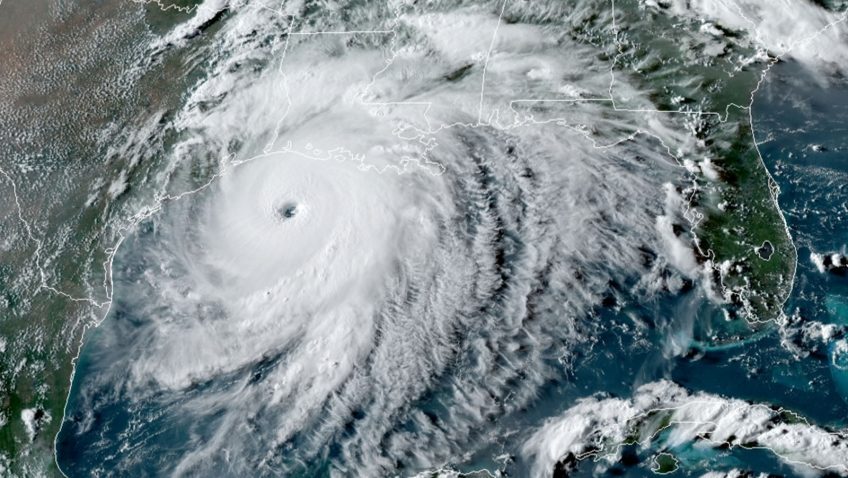
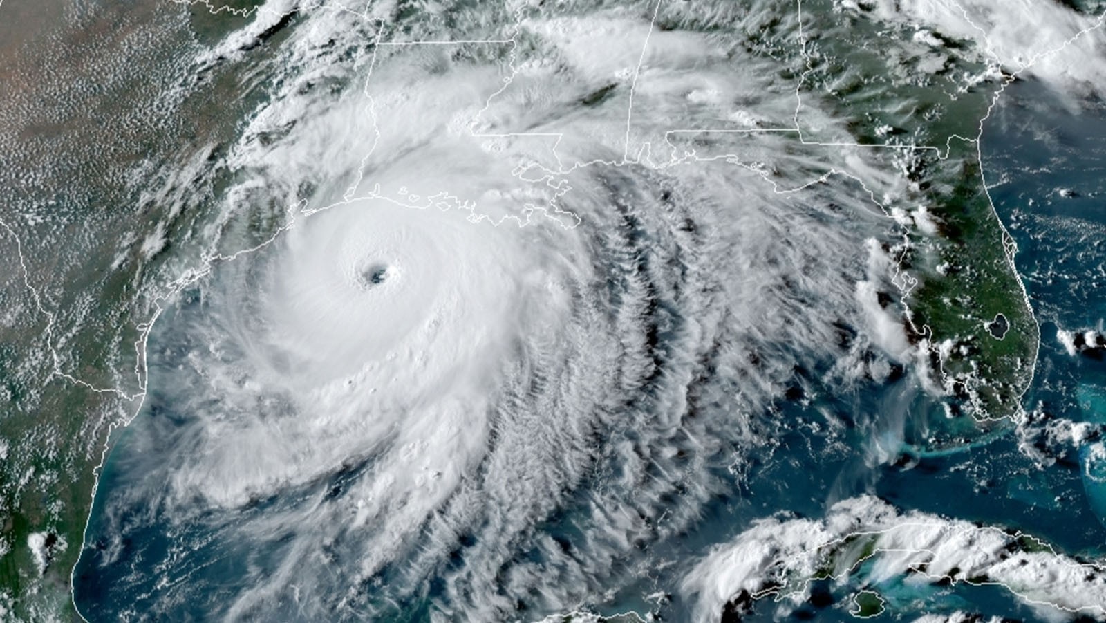
NOAA and Saildrone Launch Seven Hurricane-Tracking Surface Drones

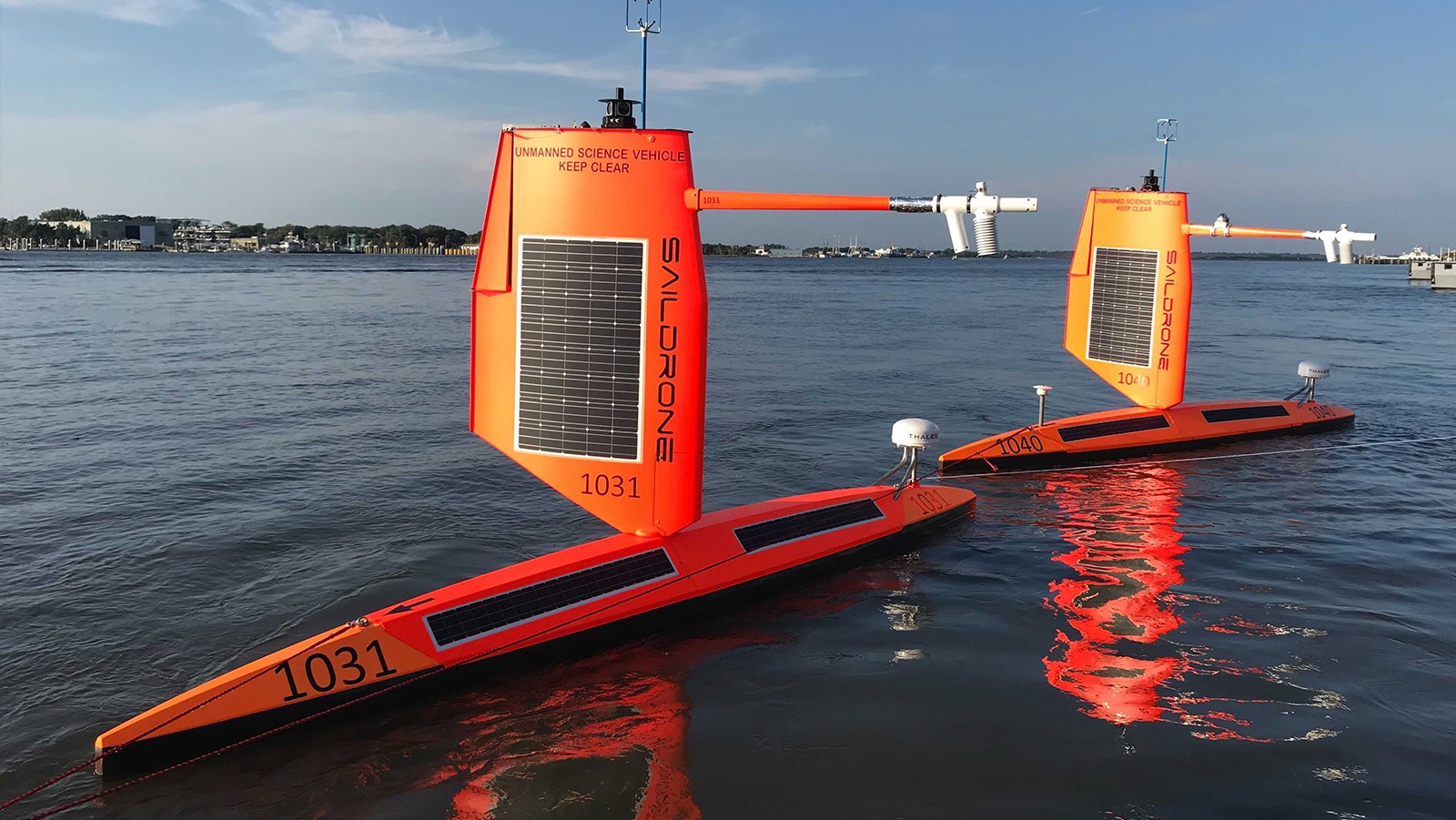
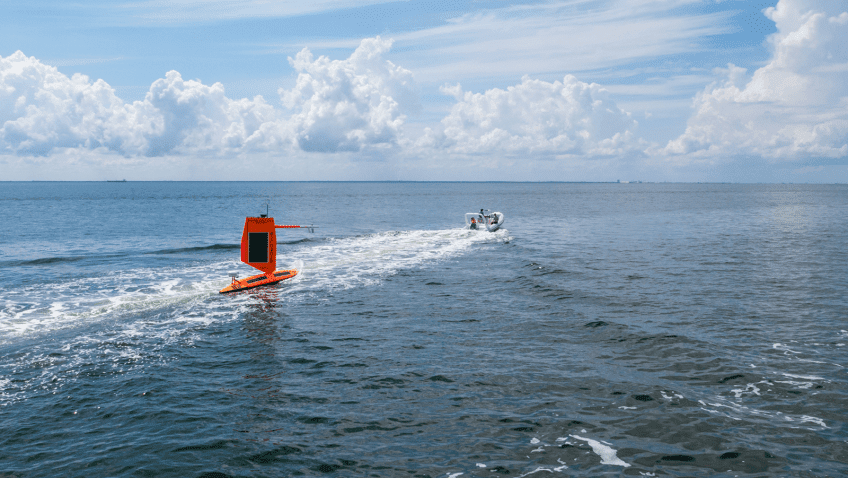
In partnership with NOAA, Saildrone Inc. is deploying seven ocean drones to collect data from hurricanes during the 2022 hurricane season with the goal of improving hurricane forecasting. For the first year, two saildrones will track hurricanes in the Gulf of Mexico.

Read Full Article

Ocean Drone Sails into Category 4 Hurricane Sam

For the first time ever, Saildrone Inc. and NOAA have used an uncrewed surface vehicle to collect oceanic and atmospheric data from inside the eye of a hurricane. On September 30th, 2021 saildrone 1045 travelled directly into Category 4 Hurricane Sam.

Read Full Article

A world first: Ocean drone captures video from inside a hurricane

Saildrone Inc. and the NOAA have released the first video footage gathered by an uncrewed surface vehicle (USV) from inside a major hurricane barreling across the Atlantic Ocean.

The Saildrone Explorer SD 1045 was directed into the midst of Hurricane Sam, a category 4 hurricane, which is currently on a path that fortunately will miss the U.S. east coast.  SD1045 is battling 50 foot waves and winds of over 120 mph to collect critical scientific data and, in the process, is giving us a completely new view of one of earth’s most destructive forces.

Read Full Article

Ocean Drones Brave Hurricanes to Make Coastal Communities Safer

Saildrone is announcing a new mission to deploy five uncrewed surface vehicles (USVs) from the US Virgin Islands in August to gather key data throughout the 2021 Tropical Atlantic hurricane season. The USVs will be equipped with specially designed “hurricane wings” to enable them to operate in extreme conditions. Saildrones are the only USVs capable of collecting this data and are designed to withstand winds over 70 mph and waves over 10 feet, which occur during a hurricane weather system. The five saildrones will sail into the paths of hurricanes to provide valuable real-time observations for numerical hurricane prediction models and to collect new insights into how these large and destructive weather cells grow and intensify.

Read Full Article

Unlocking the ocean’s role driving hurricanes

Scientists at NOAA’s Atlantic Oceanographic and Meteorological Laboratory are now focusing on what happens where the sea meets the atmosphere to help solve the hurricane intensity problem. The place right above where the air meets the sea is called the planetary boundary layer. The ocean drives global weather. By building on past research, scientists have determined that factors in the boundary layer and underlying ocean such as salinity, temperature, currents, wave and wind patterns, precipitation, are crucial to understanding the energy that fuels a hurricane.

Read Full Article