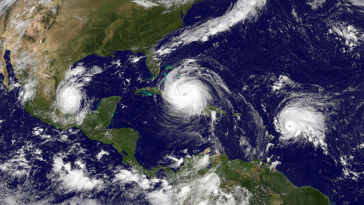
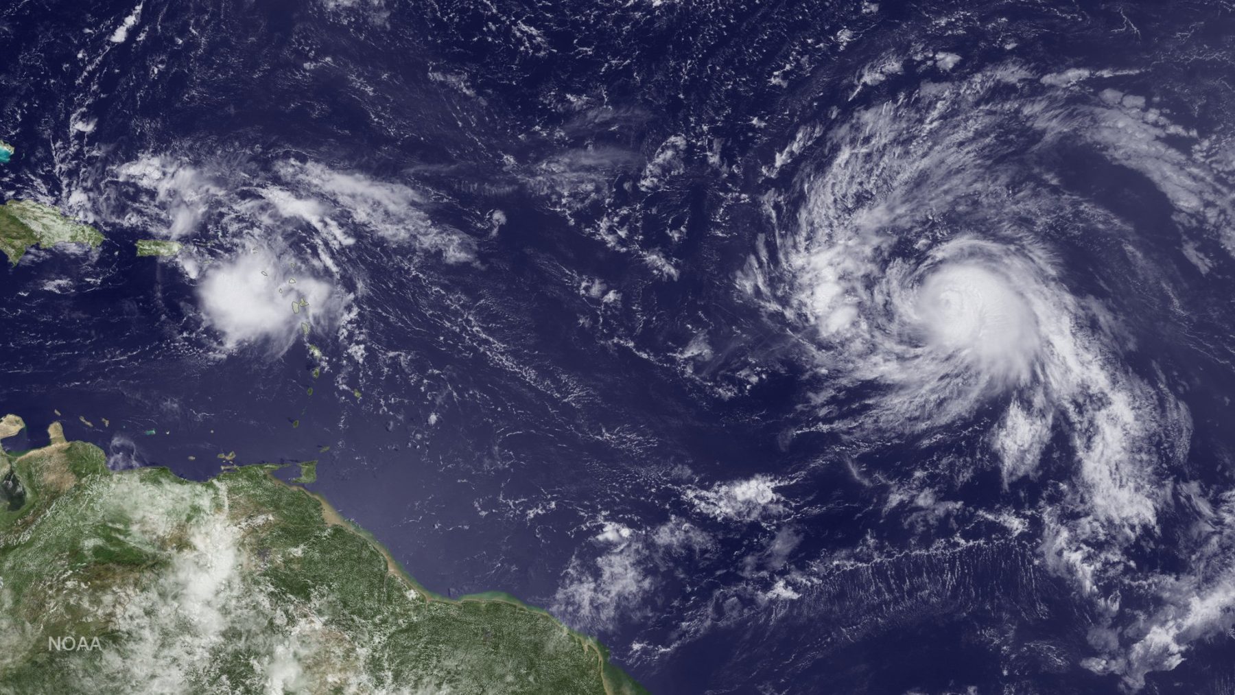
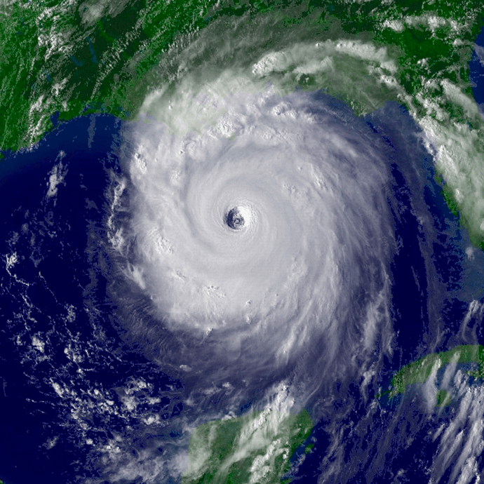
Tag: hurricane season

AOML Flies Science Missions into Succession of Atlantic Storms

AOML’s hurricane scientists conducted multiple airborne missions into several tropical systems that formed in the Atlantic in September and October. The data gathered in Humberto, Jerry, pre-Karen, Lorenzo, and Nestor improved track and intensity forecasts, aiding NOAA’s efforts to prepare vulnerable communities for severe weather. The missions also supported research to better understand how tropical cyclones form, intensify, and dissipate, as well as supported efforts to validate satellite measurements of these storms.

Read Full Article

HWRF Model Leads the Pack in Performance for 2017 Atlantic Hurricane Season

Over the past 20 years, improvements in hurricane computer modeling, observational instrumentation, and forecaster training have greatly increased forecast accuracy. The many complex interactions that occur within the atmosphere remain to be fully understood, especially at the small scales associated with tropical cyclones. However, these milestones mark critical advances in numerical weather prediction that are paving the way to the next generation of NOAA models. While hurricanes cannot be controlled, vulnerability to these complex storms can be reduced through preparedness. Early warning and improved accuracy of forecasts can help save lives and reduce property damages caused by hurricanes.

Read Full Article

New and Improved Tools Aim to Enhance Hurricane Forecast Capabilities

AOML is currently in the midst of a multi-year effort called the Intensity Forecasting Experiment (IFEX). IFEX aims to improve the understanding and prediction of intensity change by collecting observations from all stages of a tropical cyclone life cycle—genesis to decay—to enhance current observational models. By building on years of observational expertise and cutting-edge approaches to data integration and model development, hurricane scientists at AOML lead advancements in observations and modeling that have improved intensity forecasts by 20% in recent years.

Read Full Article

Capturing the Genesis of a Hurricane

NOAA Hurricane Hunters are flying back-to-back missions to study the newly developed Tropical Storm Hermine in the Gulf of Mexico, capturing its evolution from a cluster of thunderstorms into a tropical storm. Getting data during such transitions can help improve hurricane models which currently don’t predict transitions well. Our understanding of the physical processes of early storm development remains limited, largely because there are few observations. 

Read Full Article

From the Eye of the Hurricane to High-Resolution Models – How NOAA Improves Hurricane Forecasts

As a hurricane approaches landfall, citizens are hoping that they are adequately prepared for the potential damage from strong winds and rising oceans. NOAA’s job is to forecast the storm location and strength, or intensity, to help communities make the best informed decisions. For many scientists, predicting intensity is a challenge at the forefront of hurricane research, and in recent years advancements in observations and modeling have improved NOAA’s forecasts of intensity by 20%. We are now at the point where scientists can observe and predict with very fine detail what is happening in the inner core of the storm.

Read Full Article

10th Anniversary of Hurricane Katrina

Early on the morning of August 29th, 2005, Hurricane Katrina made landfall on the Louisiana delta region and the Mississippi coast.  The storm surge brought enormous damage to the Gulf Coast and, when the levees around New Orleans failed, a great number of fatalities.  Coming amidst the very busy 2005 hurricane season, Katrina brought death and destruction not seen in a U.S. land-falling hurricane in decades.

Read Full Article

Behind the 2015 Atlantic Hurricane Season: Wind Shear & Tropical Cyclones

With the 2015 Atlantic hurricane season underway, researchers are pointing to the strong presence of El Niño as the major driver suppressing the development of tropical cyclones in the Atlantic basin. But what specific conditions are associated with El Niño that lead to a less than ideal environment for tropical cyclone development? Through research and observation, hurricane researchers know strong environmental wind shear is a major factor affecting potential hurricane development and growth. This hurricane season, AOML researchers are delving further into the relationship between wind shear and tropical cyclones.

Read Full Article

Hurricane Danny & Tropical Storm Erika Provide Wealth of Research Opportunities for the 2015 Hurricane Field Program

AOML’s hurricane researchers conducted a number of field activities in August that provided data and critical insights into two Atlantic tropical cyclones, Danny and Erika. The two storms enabled researchers to test new instruments in support of the 2015 Hurricane Field Program and conduct research that will benefit future forecasts. Among the highlights were more than 15 successful manned and unmanned aircraft missions into Danny and Erika to collect and provide real-time data to the National Hurricane Center (NHC), as well as evaluate forecast models.

Read Full Article

Hurricane Researchers Achieve Important Milestones Despite Quiet 2013 Season

The 2013 Atlantic hurricane season, which officially ended on November 30th, will be noted in the record books as having been a relatively quiet year with the fewest hurricanes since 1982. In fact, it will be ranked as the sixth least-active Atlantic hurricane season since 1950. Despite this, the 2013 season was quite an active […]

Read Full Article