First Cruise in Three Years in Support of the South Atlantic Meridional Overturning Circulation Project
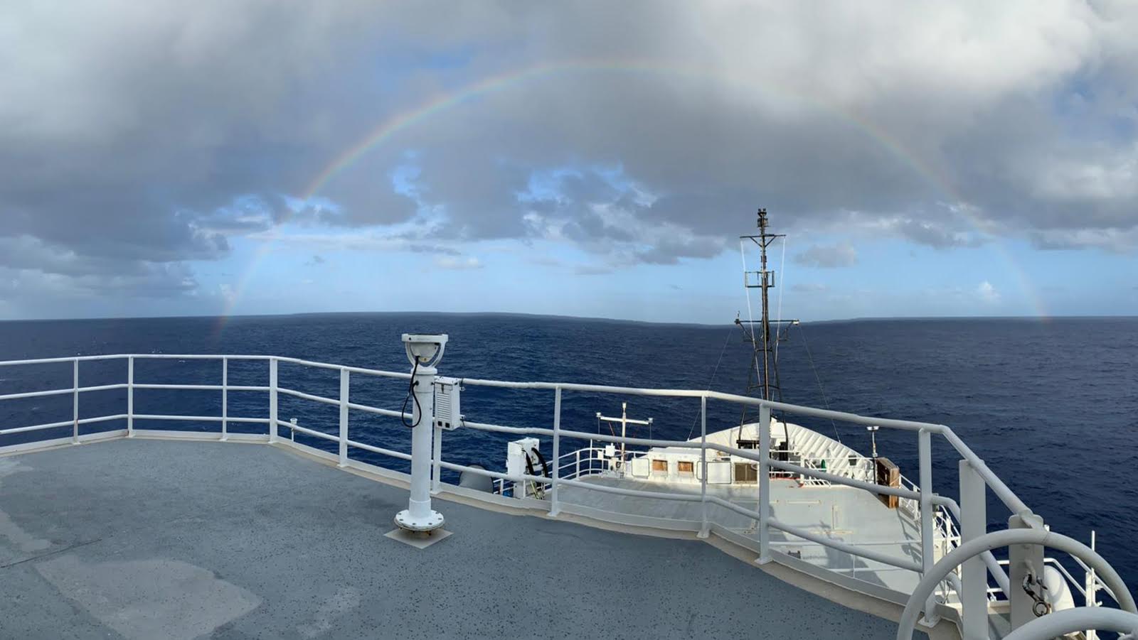
After two weeks at sea, the South Atlantic Meridional Overturning Circulation (SAM) project team completed its first cruise since June 2019!
After two weeks at sea, the South Atlantic Meridional Overturning Circulation (SAM) project team completed its first cruise since June 2019!

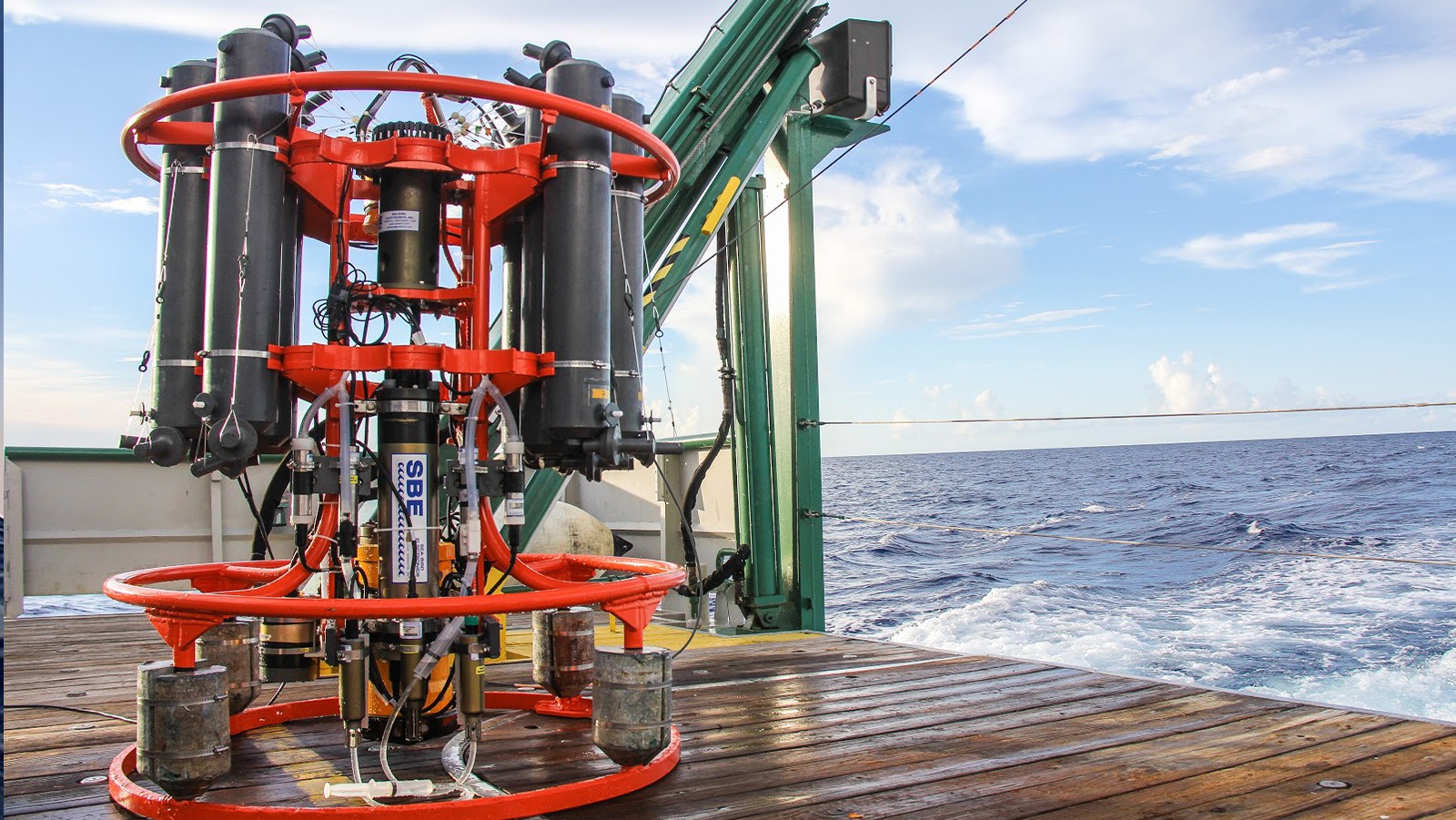
On December 19th, after nearly six weeks at sea, scientists aboard the NOAA ship Ronald H. Brown returned to land and docked in Praia, Cape Verde, completing the PIRATA (Prediction and Research Moored Array in the Tropical Atlantic) Northeast Extension (PNE) cruise.
On February 24, researchers with NOAA’s Atlantic Oceanographic and Meteorological Laboratory returned to land, docking in Key West after nearly six weeks aboard the NOAA ship Ronald H. Brown. The scientists were at sea for the PIRATA (Prediction and Research Moored Array in the Tropical Atlantic) Northeast Extension (PNE) cruise, a joint effort between AOML and NOAA’s Pacific Marine Environmental Laboratory to maintain an expansion of the PIRATA array of surface moorings into the northern and northeastern sectors of the tropical Atlantic.

NOAA’s Western Boundary Time Series (WBTS) project, alongside partner projects RAPID and MOCHA, have been awarded the inaugural “Ocean Observing Team Award” by The Oceanography Society (TOS). This award recognizes innovation and excellence in sustained ocean observing for scientific and practical applications. The WBTS/RAPID/MOCHA team is recognized for significantly improving our understanding of Atlantic circulation through the breakthrough design of a basin-wide observing system using endpoint measurements to measure the variability of the overturning circulation across wide areas of the ocean. This design provided continuous, cost-effective measurements that led to a transformation in ocean observing and advances in scientific knowledge.
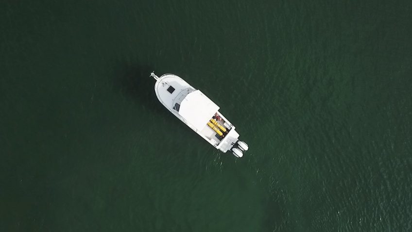

NOAA’s hurricane gliders are returning home after a successful journey during the 2020 hurricane season. These gliders were deployed off the coasts of Puerto Rico, Dominican Republic, the U.S. Virgin Islands, the Gulf of Mexico, and the eastern U.S. to collect data for scientists to use to improve the accuracy of hurricane forecast models.
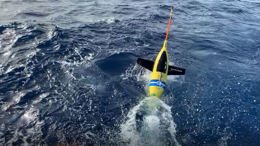
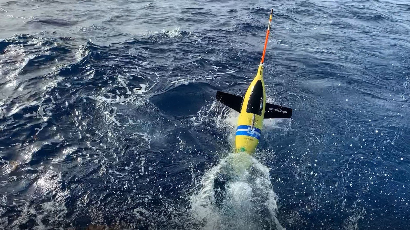
NOAA’s hurricane gliders are heading to sea this week off the coasts of Puerto Rico, the Gulf of Mexico and the eastern U.S. to collect data that scientists will use to improve the accuracy of hurricane forecast models.
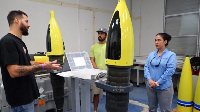
AOML scientists recently traveled to Puerto Rico and the Dominican Republic, respectively, to train members of the CARICOOS and ANAMAR ocean glider teams in the removal and installation of science sensors in the fleet of AOML underwater gliders.