Tag: data assimilation stories

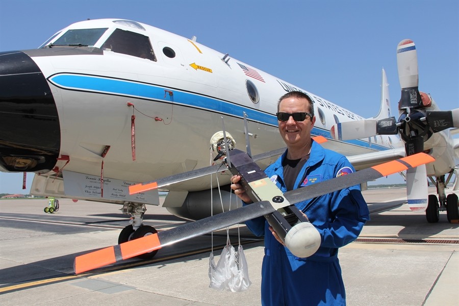
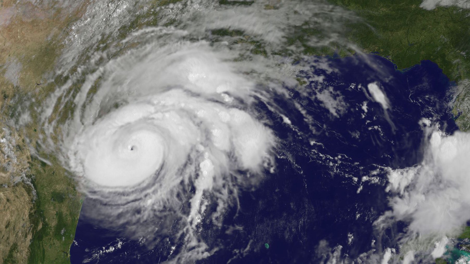
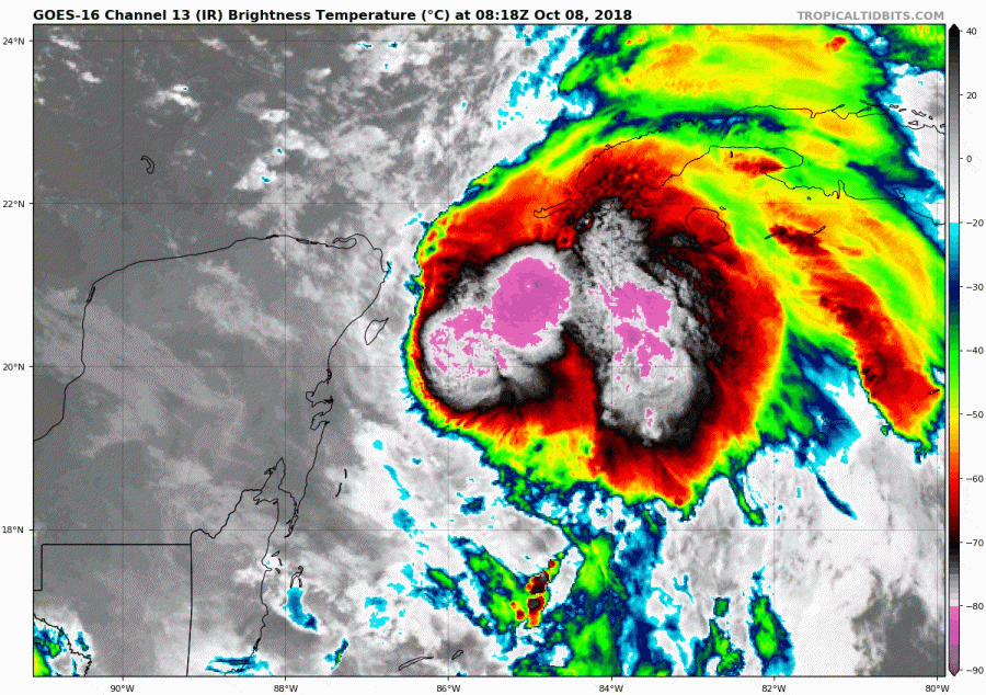
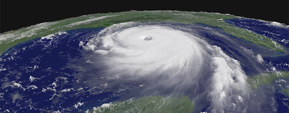
AOML Flies Science Missions into Succession of Atlantic Storms

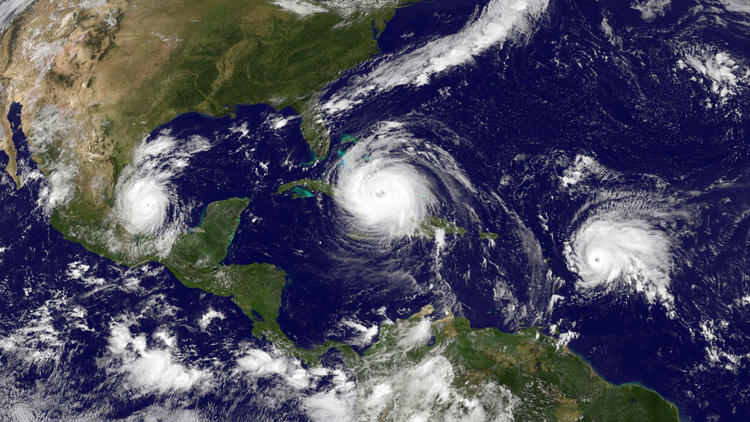
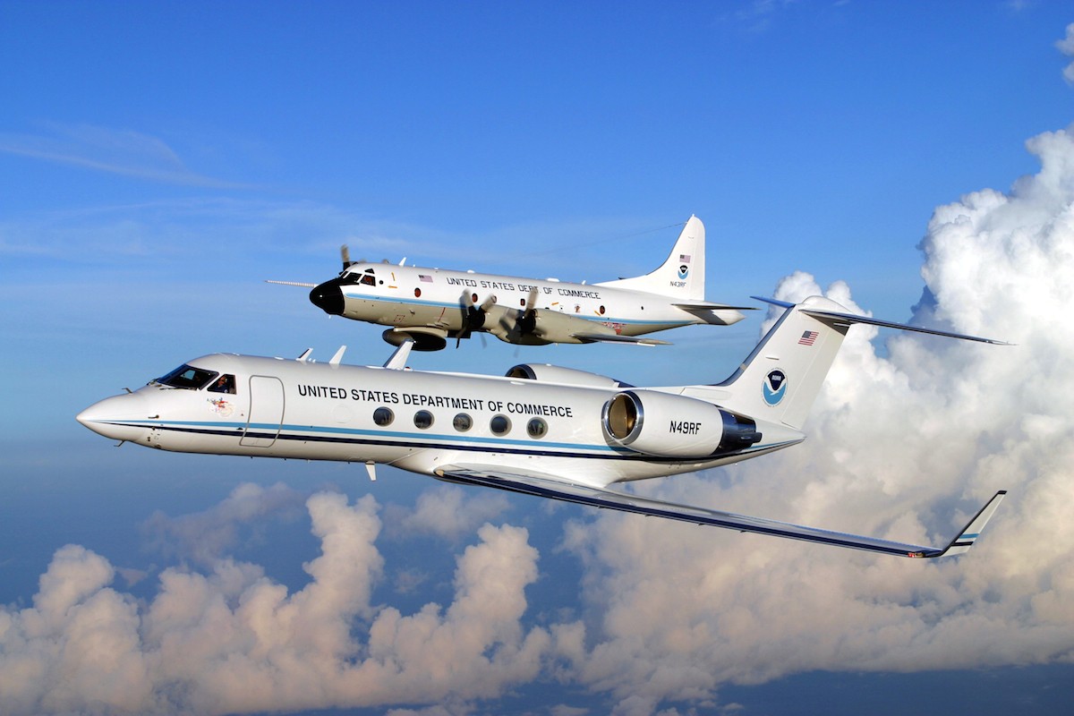
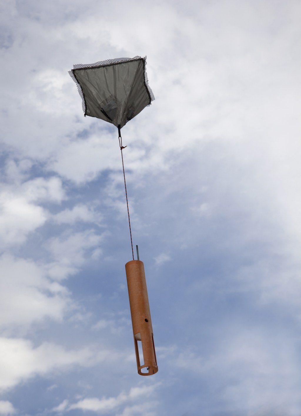
AOML’s hurricane scientists conducted multiple airborne missions into several tropical systems that formed in the Atlantic in September and October. The data gathered in Humberto, Jerry, pre-Karen, Lorenzo, and Nestor improved track and intensity forecasts, aiding NOAA’s efforts to prepare vulnerable communities for severe weather. The missions also supported research to better understand how tropical cyclones form, intensify, and dissipate, as well as supported efforts to validate satellite measurements of these storms.

Read Full Article

Braving the Eye of the Storm

The most dangerous part of the hurricane is the eyewall close to the ocean. It’s where the storm draws energy from heat in the water, which influences how strong – and how quickly – the storm will develop. It’s also where the strongest winds lurk.Direct and continuous observations of the lower eye-wall would help forecasters understand critical information about the storm’s development. NOAA P-3 “Hurricane Hunters” routinely fly through hurricane eyewalls to gather storm data, but avoid flying close to the ocean because conditions are too hazardous.

Read Full Article

Storms Gather and Now Our Watch Begins

Hurricane season is officially upon us and researchers at NOAA’s Atlantic Oceanographic and Meteorological Laboratory are excited about new model developments and innovative technology to improve hurricane forecasting.  AOML’s deputy director, Molly Baringer, briefed Congresswomen Debbie Wasserman Schultz and Donna Shalala on May 30th, 2019 about the science behind the 2019 Atlantic Hurricane Season Outlook and advancements led by AOML and other NOAA offices in the field of hurricane forecasting.

Read Full Article

Underwater Gliders Contribute to Atlantic Hurricane Season Operational Forecasts

Scientists strategically deployed the gliders during the peak of hurricane season, from July through November 2017, collecting data in regions where hurricanes commonly travel and intensify. The gliders continually gathered temperature and salinity profile data, generating more than 4,000 profiles to enhance scientific understanding of the air-sea interaction processes that drive hurricane intensification.

Read Full Article

HWRF Model Leads the Pack in Performance for 2017 Atlantic Hurricane Season

Over the past 20 years, improvements in hurricane computer modeling, observational instrumentation, and forecaster training have greatly increased forecast accuracy. The many complex interactions that occur within the atmosphere remain to be fully understood, especially at the small scales associated with tropical cyclones. However, these milestones mark critical advances in numerical weather prediction that are paving the way to the next generation of NOAA models. While hurricanes cannot be controlled, vulnerability to these complex storms can be reduced through preparedness. Early warning and improved accuracy of forecasts can help save lives and reduce property damages caused by hurricanes.

Read Full Article

New and Improved Tools Aim to Enhance Hurricane Forecast Capabilities

AOML is currently in the midst of a multi-year effort called the Intensity Forecasting Experiment (IFEX). IFEX aims to improve the understanding and prediction of intensity change by collecting observations from all stages of a tropical cyclone life cycle—genesis to decay—to enhance current observational models. By building on years of observational expertise and cutting-edge approaches to data integration and model development, hurricane scientists at AOML lead advancements in observations and modeling that have improved intensity forecasts by 20% in recent years.

Read Full Article

Upper Air Observations: How Weather Balloons Improve Forecasts

Observations of the atmosphere are critical to every aspect of weather forecasting. While there are several new and improved tools used to enhance storm forecasts, weather balloons prevail as one of the longest running and most dependable tools deployed by meteorologists. Released twice a day, every day of the year in the U.S. – sometimes more frequently during extreme weather events – weather balloons, also known as radiosondes, provide detailed and reliable data that ultimately help predict the path of storms.

Read Full Article

Through the Eyewall – My Experience with the NOAA Hurricane Hunters

There aren’t many people who can say they have flown directly into a hurricane, but on October 5, 2016, I had a very unique opportunity to fly into Hurricane Matthew with NOAA’s Hurricane Hunters. Matthew was quickly moving across the Atlantic Ocean, and each new forecast moved it closer to the East Coast of Florida. With the high potential for hurricane watches and warnings, NOAA started preparations for routine flight operations.

Read Full Article

Technology and Modeling Innovations Usher in the 2016 Hurricane Season

Scientists at NOAA’s Atlantic Oceanographic and Meteorological Laboratory (AOML) are at the vanguard of hurricane research. Each hurricane season we fly into storms, pore over observations and models, and consider new technological developments to enhance NOAA’s observing capacity and improve track and intensity forecasts. The 2016 hurricane season will provide an opportunity for our scientists to test some of the most advanced and innovative technologies and refined forecasting tools to help better predict a storm’s future activity.

Read Full Article