Category: Hurricane Research

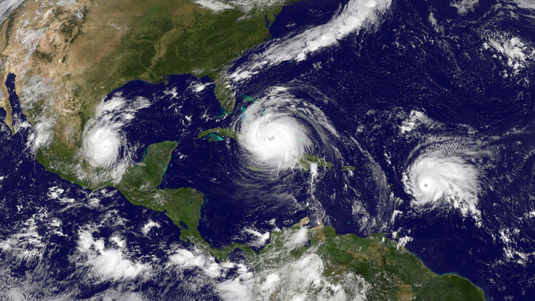
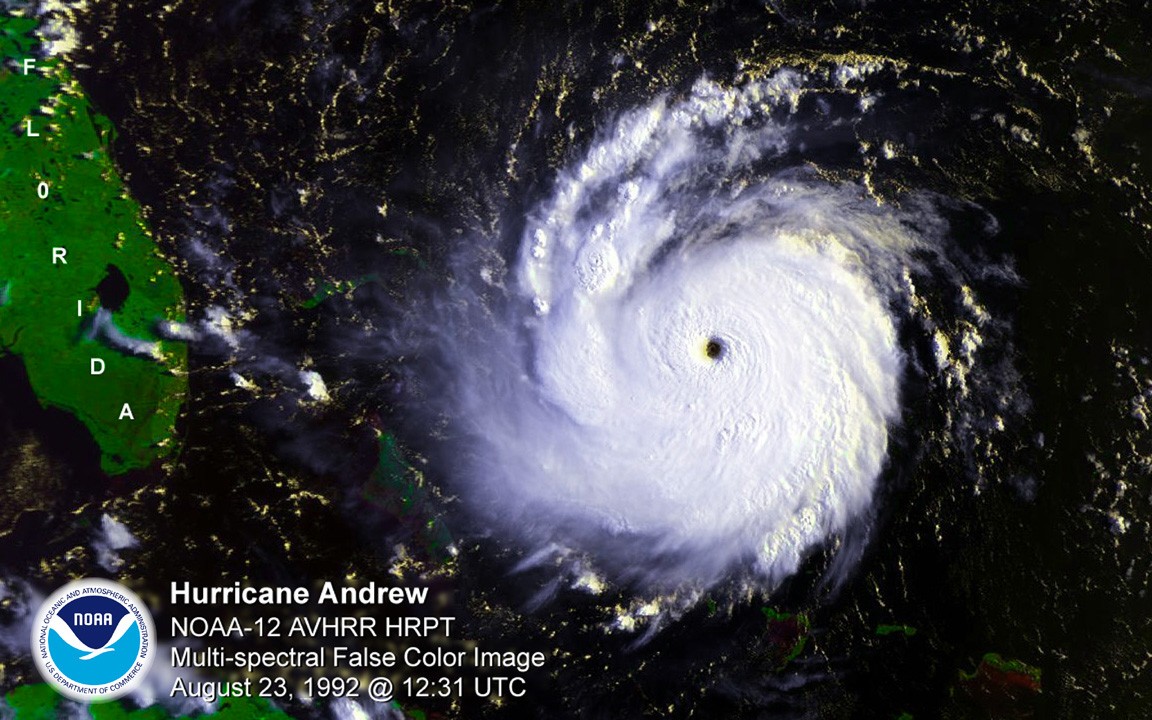
Underwater Gliders Contribute to Atlantic Hurricane Season Operational Forecasts

Scientists strategically deployed the gliders during the peak of hurricane season, from July through November 2017, collecting data in regions where hurricanes commonly travel and intensify. The gliders continually gathered temperature and salinity profile data, generating more than 4,000 profiles to enhance scientific understanding of the air-sea interaction processes that drive hurricane intensification.

Read Full Article

HWRF Model Leads the Pack in Performance for 2017 Atlantic Hurricane Season

Over the past 20 years, improvements in hurricane computer modeling, observational instrumentation, and forecaster training have greatly increased forecast accuracy. The many complex interactions that occur within the atmosphere remain to be fully understood, especially at the small scales associated with tropical cyclones. However, these milestones mark critical advances in numerical weather prediction that are paving the way to the next generation of NOAA models. While hurricanes cannot be controlled, vulnerability to these complex storms can be reduced through preparedness. Early warning and improved accuracy of forecasts can help save lives and reduce property damages caused by hurricanes.

Read Full Article

New and Improved Tools Aim to Enhance Hurricane Forecast Capabilities

AOML is currently in the midst of a multi-year effort called the Intensity Forecasting Experiment (IFEX). IFEX aims to improve the understanding and prediction of intensity change by collecting observations from all stages of a tropical cyclone life cycle—genesis to decay—to enhance current observational models. By building on years of observational expertise and cutting-edge approaches to data integration and model development, hurricane scientists at AOML lead advancements in observations and modeling that have improved intensity forecasts by 20% in recent years.

Read Full Article

Upper Air Observations: How Weather Balloons Improve Forecasts

Observations of the atmosphere are critical to every aspect of weather forecasting. While there are several new and improved tools used to enhance storm forecasts, weather balloons prevail as one of the longest running and most dependable tools deployed by meteorologists. Released twice a day, every day of the year in the U.S. – sometimes more frequently during extreme weather events – weather balloons, also known as radiosondes, provide detailed and reliable data that ultimately help predict the path of storms.

Read Full Article

The 25th Anniversary of Hurricane Andrew

Hurricane Andrew made landfall around 5 am in Homestead, Florida, on August 24, 1992, with sustained wind speeds maxing out at 165 mph. This year marks the 25th anniversary of the storm, still one of the most catastrophic hurricanes in US History. Andrew developed into a Category-5 hurricane in no more than 36 hours, roaring across south Florida and decimating the urban landscape in its wake. Not only did the storm reconfigure much of south Florida, causing an estimated $26.5 billion in direct damages in 1992, but it also led to a reconfiguration of the tools now used to study, forecast, prepare for, and respond to hurricanes. Many AOML staff members who lived in south Florida when the storm struck remain at the laboratory today, inspired by Hurricane Andrew to enhance the science behind forecasts and mitigate future damages from tropical cyclones.

Read Full Article

NOAA Hurricane Hunters Fly into Hurricane Matthew

NOAA’s Hurricane Hunters fly into hurricanes to help study important features and improve forecasts. The photos below highlight two different flights, on October 5 & 6, 2016, that were taken from flights into Hurricane Matthew as it moved through the Atlantic and up the East Coast of the United States. Hurricane Matthew eventually moved off the East Coast and would dissipate out in the Atlantic Ocean. 

Read Full Article

NOAA Hurricane Hunter Radar Paints Picture of Hurricane Winds

NOAA’s hurricane hunter aircraft carry a unique radar that measures wind in hurricanes where there is rain. Located in the tail of the aircraft and known as the Tail Doppler Radar, this instrument produces images that can provide detailed pictures scientists use to study storm structure and changes. Scientists can also piece together wind speed information gathered over the course of a flight to paint a complete picture of the wind speed in the regions of the storm where the aircraft flies.

Read Full Article

Through the Eyewall – My Experience with the NOAA Hurricane Hunters

There aren’t many people who can say they have flown directly into a hurricane, but on October 5, 2016, I had a very unique opportunity to fly into Hurricane Matthew with NOAA’s Hurricane Hunters. Matthew was quickly moving across the Atlantic Ocean, and each new forecast moved it closer to the East Coast of Florida. With the high potential for hurricane watches and warnings, NOAA started preparations for routine flight operations.

Read Full Article