Author: AOML Communications

Underwater Gliders Retrieved After Successful Third Mission

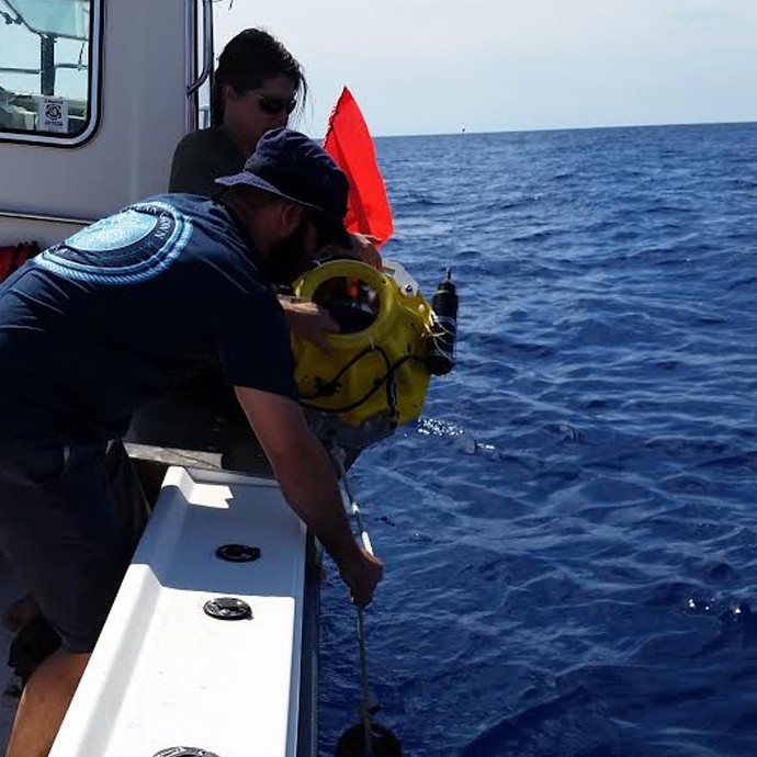
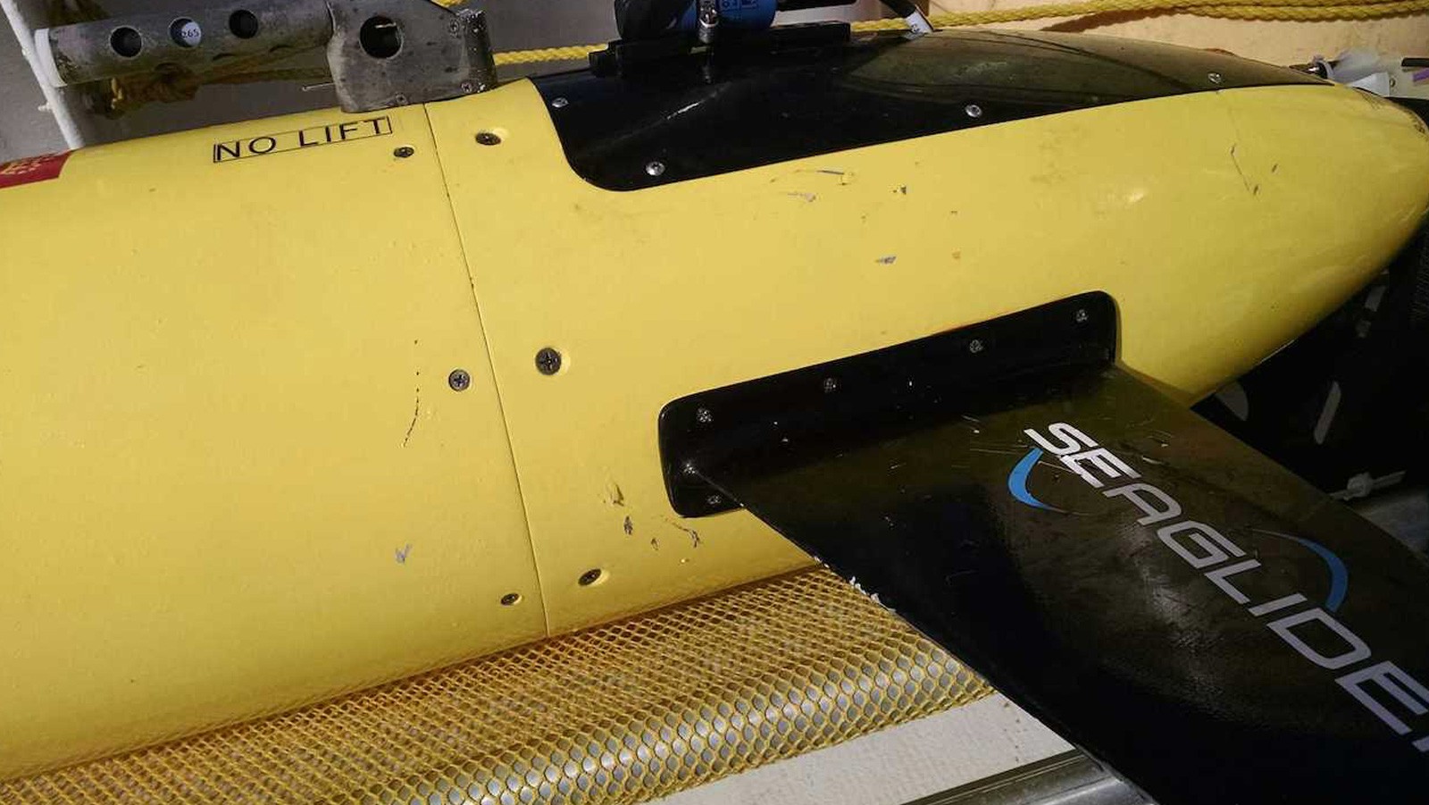
On November 16th-18th, AOML physical oceanographers partnered with the University of Puerto Rico to successfully recover two underwater gliders from the Caribbean Sea aboard the M/V La Sultana of the University of Puerto Rico Mayaguez. Over the course of the summer, the gliders successfully transected a region in the eastern Caribbean providing approximately 3000 profile observations of temperature, salinity, oxygen, and surface as well as depth-average current velocities.

Read Full Article

Advances in Tropical Cyclone Intensity Forecasts

Atlas, R., Tallapragada, V., & Gopalakrishnan, S. (2015). Advances in tropical cyclone intensity forecasts. Marine Technology Society Journal, 49(6), 149-160.

Abstract: NOAA established the 10-year Hurricane Forecast Improvement Project (HFIP) to accelerate the improvement of forecasts and warnings of tropical cyclones and to enhance mitigation and preparedness by increased confidence in those forecasts. Specific goals include reducing track and intensity errors by 20% in 5 years and 50% in 10 years and extending the useful range of hurricane forecasts to 7 days. Under HFIP, there have been significant improvements to NOAA’s operational hurricane prediction model resulting in increased accuracy in the numerical guidance for tropical cyclone intensity predictions. This paper documents many of the improvements that have been accomplished over the last 5 years, as well as some future research directions that are being pursued. Keywords: hurricane, Hurricane Forecast Improvement Program (HFIP), Hurricane Weather Research and Forecasting Model (HWRF)

Download PDF Publication
Read Full Article

October 2015 Western Boundary Time Series Cruise

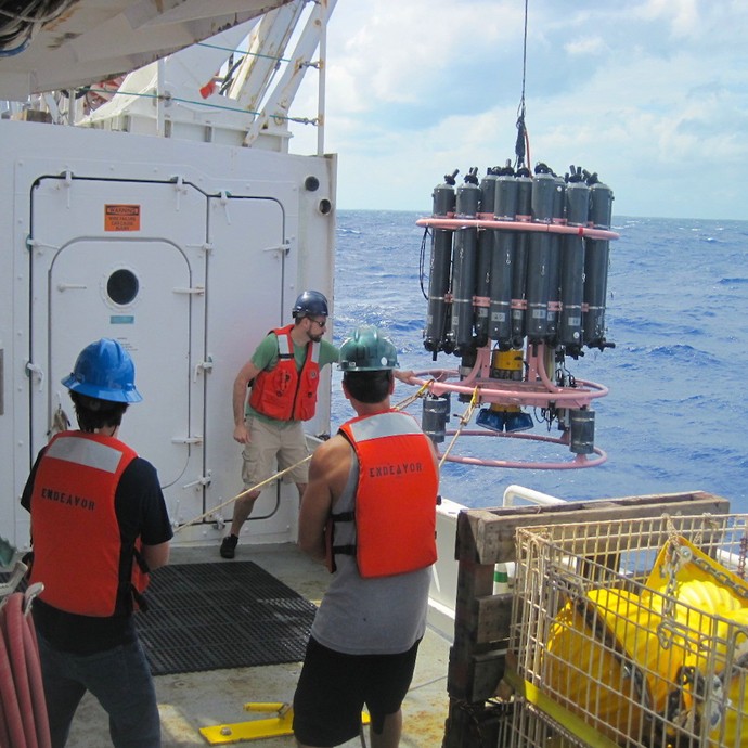
AOML oceanographers are participating in a joint research cruise to study the Meridional Overturning Circulation onboard the R/V Endeavor during October 3-20. The team will sail from Fort Lauderdale, FL to collect roughly 55 full-depth conductivity-temperature-depth (CTD) profiles in the Florida Current and the Deep Western Boundary Current east of the Bahamas. The scientists will also work with their partners from the University of Miami to recover, redeploy, and maintain three tall moorings and nine smaller moored instruments during this cruise in support of the NOAA Western Boundary Time Series project and its partner National Science Foundation project.

Read Full Article

Underwater gliders observations reveal the importance of salinity effects during passage of Hurricane Gonzalo (2014)

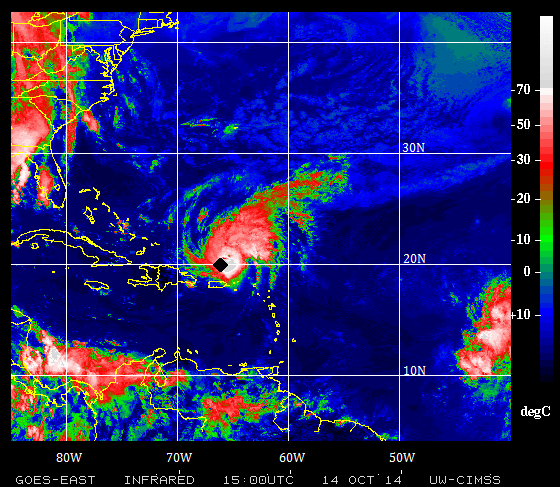
Hurricanes are known to drive the cooling of surface waters as they travel over the ocean, leaving a cooling swath where they pass. The sea surface cooling is mostly caused by mixing forced by the strong winds of the hurricane, which occurs as the mixture of warm surface waters with colder waters that can be as deep as 100 m below the surface.

Read Full Article

Coral Team Conducts Monitoring Activities at Cheeca Rocks

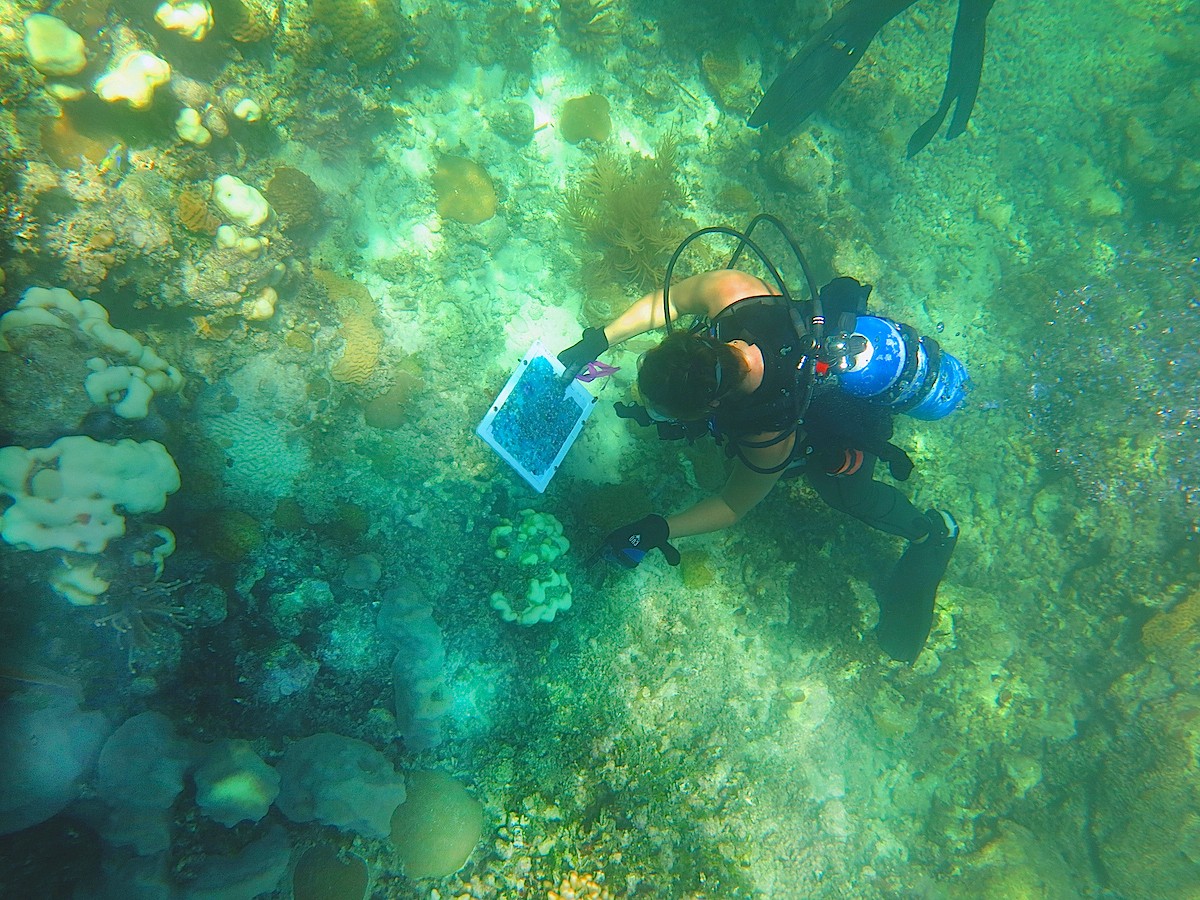
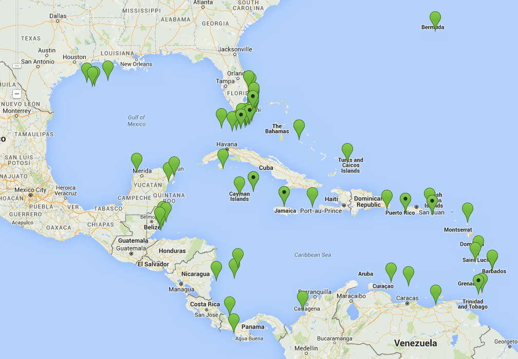
AOML coral researchers conducted a number of reef monitoring activities during the month of October at Cheeca Rocks off of Islamorada, Florida. Among the activities was the installation of new sensors to measure pH and photosynthetic light levels at the on-site MapCO2 buoy. The team also conducted benthic surveys and deployed a pH sensor at an inshore patch reef where they are conducting an experiment to examine the impacts of bleaching across Florida Keys reefs. They were also joined by a colleague from the University of Miami who conducted photo mosaic surveys of the reefs. A photo mosaic is a tool used by researchers to map reefscapes and involves the stitching together of hundreds of photos taken simultaneously across the reef to form one giant image. Photo mosaics provide coral researchers with an important tool to more accurately document community-wide changes in reef health.

Read Full Article

100th Successful Dropsonde Cruise for the Western Boundary Time Series Project

In October, AOML scientists, technicians and engineers involved in the Western Boundary Time Series (WBTS) project completed the 100th successful dropsonde cruise in the Florida Current since the project’s inception in 2000. The dropsonde cruises measure volume transport in the Florida Current using an out-of-service telephone cable between Florida and Grand Bahama Island.

Read Full Article

New Virtual Stations Enhance Coral Monitoring Efforts in Caribbean

AOML’s Coral Health and Monitoring Program (CHAMP) rolled out a new data source in October as part of its online data query tool. Optimally Interpolated Sea Surface Temperatures, or OISSTs, are data from microwave satellite observation platforms, products that are sourced from Remote Sensing Systems. Whereas other sea surface temperature sources might be missing data due to orbital gaps or non-ideal environmental conditions such as cloud cover or rainfall, the OISST platform corrects for these errors to provide a complete, daily sea surface temperature map that can benefit coral health and monitoring efforts worldwide.

Read Full Article

AOML Oceanographer Rik Wanninkhof Selected as Senior Technical Scientist

NOAA selected AOML oceanographer Dr. Rik Wanninkhof in October 2015 to become a Senior Technical Scientist, the highest attainable level for federal research scientists within NOAA. Rik is an internationally recognized authority on air-sea gas transfer with close to 25 years of experience studying the effects of atmospheric carbon dioxide on the ocean. Senior Technical Scientist positions are held by individuals who achieve national and/or international distinction in their field through their high-level research.

Read Full Article

AOML Researchers Take Water Samples at Annual King Tide

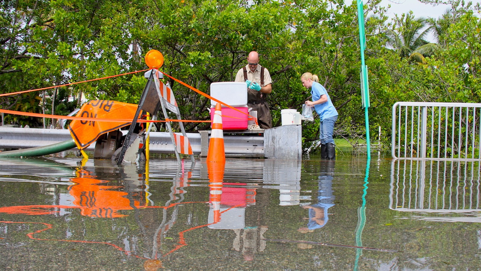
On September 29th, researchers from AOML’s Environmental Microbiology Lab along with scientists from Florida International University’s Southeast Environmental Research Center collected water samples along Miami Beach during a king tide event, the highest astronomical tide of the year. Sample sites were located adjacent to pumps installed by the City of Miami Beach to actively pump super-tidal floodwaters out of the streets and back into Biscayne Bay. AOML’s team continuously monitored and collected water samples over a 5-hour period at locations in Maurice Gibb Memorial Park, along 14th Street, and at 27th Street and Indian Creek Drive. During sampling, physical water properties such as temperature, salinity, pH, turbidity, and dissolved oxygen content were also measured.

Read Full Article