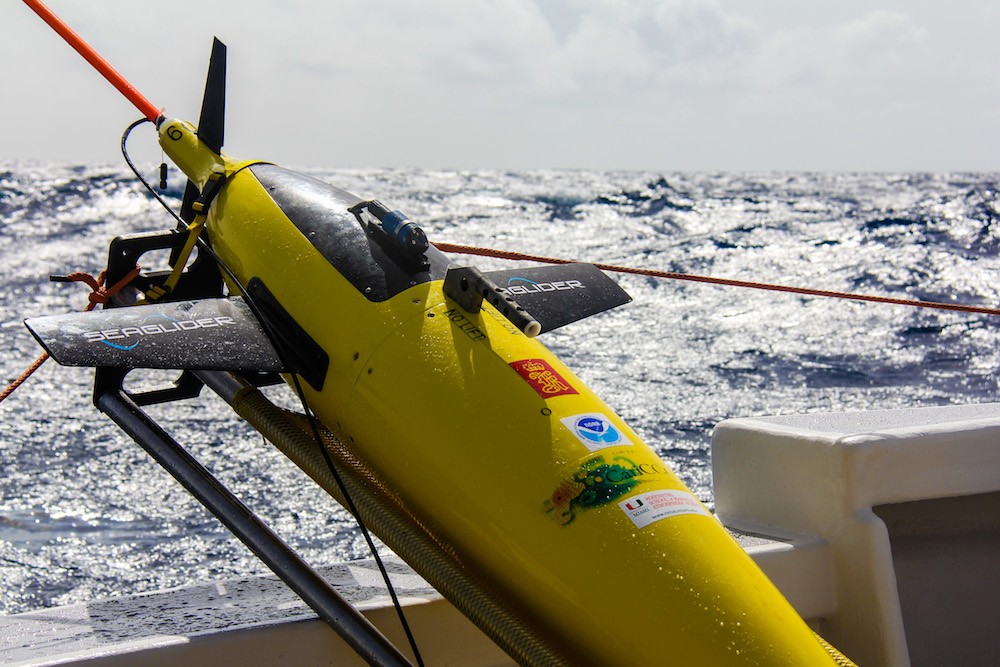
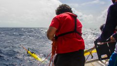
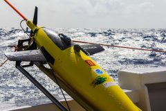
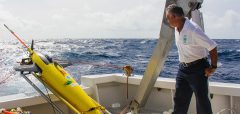
Throughout the Atlantic hurricane season, this autonomous underwater vehicle dives to depths of up to 1,000 meters and travels thousands of kilometers across the Caribbean Sea. The gliders are deployed in the Caribbean and tropical North Atlantic. Researchers use the ocean profile data from the underwater gliders to assess the impact of tropical cyclone conditions on upper ocean thermal structure, and to improve tropical cyclone intensity forecasts. By improving models and forecasts, NOAA researchers help the public prepare for dangerous weather, and keep communities both informed and safe.
Photo credit: NOAA
Image Captions
From Left:
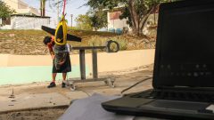
- AOML scientist Grant Rawson works on a hurricane glider prior to deployment. Photo Credit: NOAA AOML.
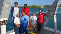
- A group of scientists poses for a photo after a successful glider deployment. Photo Credit: NOAA AOML
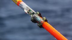
- A closeup of scientific instrumentation that transmits data from the Hurricane Gliders. Photo Credit: NOAA AOML.
- A hurricane glider is deployed to help improve intensity forecasts. Photo Credit: NOAA AOML.
- Ubaldo Lopez of the University of Puerto Rico at Mayaguez prepares to launch NOAA ocean gliders in the summer of 2017 off Puerto Rico.
- Underwater Glider. Image credit: NOAA
- Lights in Puerto Rico. Image credit: NOAA
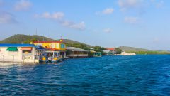
- Colorful houses light up the scene in Puerto Rico. Image credit: NOAA
