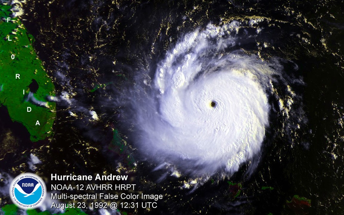
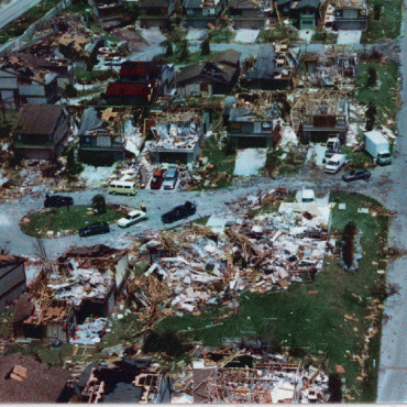
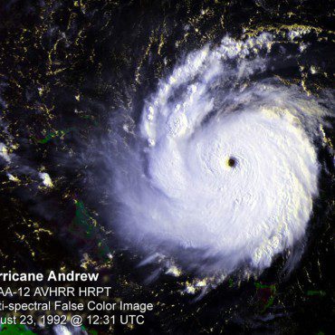
Hurricane Andrew made landfall around 5 am in Homestead, Florida, on August 24, 1992, with sustained wind speeds maxing out at 165 mph. This year marks the 25th anniversary of the storm, still one of the most catastrophic hurricanes in US History. Andrew developed into a Category-5 hurricane in no more than 36 hours, roaring across south Florida and decimating the urban landscape in its wake. Not only did the storm reconfigure much of south Florida, causing an estimated $26.5 billion in direct damages in 1992, but it also led to a reconfiguration of the tools now used to study, forecast, prepare for, and respond to hurricanes. Many AOML staff members who lived in south Florida when the storm struck remain at the laboratory today, inspired by Hurricane Andrew to enhance the science behind forecasts and mitigate future damages from tropical cyclones.
As with most Atlantic basin hurricanes, Andrew formed as a compact tropical wave off the west coast of Africa. It was the first tropical storm of the quiet 1992 hurricane season, quickly developing into a depression, assisted by low levels of wind shear in the atmosphere and warm sea surface temperatures. As the storm moved west, however, it entered a more hostile environment of drier air, cooler sea surface temperatures, and high wind shear, weakening it to such an extent that the National Hurricane Center (NHC) almost stopped monitoring it. Unfortunately, as Andrew approached the United States, it regained strength and set a direct course for south Florida, rapidly developing to its peak intensity in less than 36 hours. Over 1 million people evacuated south Florida virtually overnight.
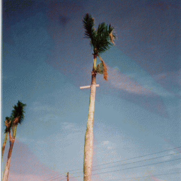
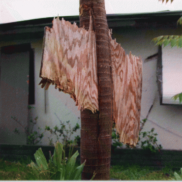
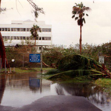
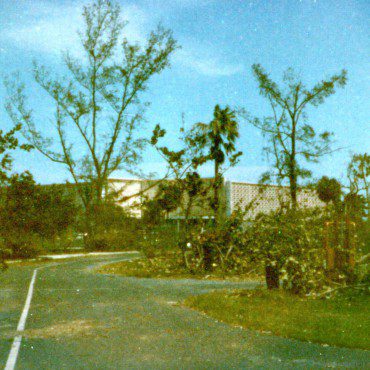
Former AOML research meteorologist Chris Landsea describes the storm as a “complete upheaval of society in just a few hours.” Winds were strong enough to destroy roofs and shatter windows, peel the paint off of buildings, topple trees, rip power lines from the ground, and overturn cars and boats. Andrew was a small, compact, fast-moving storm that, unlike most major hurricanes, caused catastrophic damage from wind rather than storm surge and flooding. These devastating winds were capable of blowing debris over a mile away from the original source. Andrew reportedly destroyed over 25,000 homes, leaving more than 160,000 homeless. In Homestead, more than 99% of all mobile homes were completely demolished.
Scientific understanding of the wind structure in strong hurricanes has significantly increased since Andrew’s south Florida landfall in 1992. During Andrew, the majority of ground-based wind measuring tools and technology were either destroyed by flying debris or incapable of registering the storm’s maximum winds. Additionally, the Miami-based radar collapsed onto the roof of NHC before Andrew made landfall. Now, hurricane scientists use an array of land-based, sea-based, and aircraft-related instruments to help collect observational data during tropical cyclones. More accurate data has led to a better scientific understanding of storms, which has led to improvements in forecasting – an imperative facet in keeping vulnerable communities safe from natural disasters. Advancements in science have improved track forecasts out to 78 hours, but storm intensification is still the biggest challenge for hurricane scientists to predict.
Knowing what to do when disaster strikes is a critical part of being prepared. Make sure you and your family have hurricane plans, and check local emergency management websites to ensure you are prepared. Better forecasting begets safer communities, and our Hurricane Research Division at NOAA-AOML continues to work tirelessly to improve storm forecasting and research. By enhancing data collection and increasing the accuracy of forecasts, we are able to better inform the public about approaching tropical storms, ensuring that when the threat is real, people will take heed and evacuate accordingly.
Andrew Facts:
- Adjusted for inflation, Hurricane Andrew is the second costliest storm in U.S. history, after Hurricane Katrina (2005).
- Andrew was the first storm of the 1992 hurricane season.
- Andrew was originally categorized as a Category-4 hurricane, but scientists re-categorized it as a Category-5 hurricane in 2002.
- Most residents had less than one day to prepare their homes and to evacuate coastal areas.
- Much of the ground-based wind measuring tools and technology were either destroyed by flying debris or incapable of registering Andrew’s maximum winds.
- Most of the damage caused to homes during Hurricane Andrew was a result of faulty construction.
- Post- Hurricane Andrew, south Florida now has the strongest building codes in the nation. All homes are required to have storm shutters or impact-resistant glass.
See more hurricane-related facts and history in the Hurricane FAQ.
Originally Published August 2017 by Sierra Sarkis
