
Photo Gallery Story
Originally published on the I07 GOSHIP Blog. Author: Shinichiro Umeda
The ocean absorbs considerable heat and anthropogenic carbon dioxide (mostly from burning fossil fuels), slowing down the global warming. It is important for the future climate to monitor heat and carbon in the ocean regularly. Although satellite observations and autonomous instruments such as Argo floats are widely used, ship-based hydrography remains the only method for highly accurate measurements of temperature, salinity, and other chemical and biogeochemical parameters over the full water column. The ocean covers about 70% of the Earth surface and international collaboration is inevitable. The international program we are sailing for is called GO-SHIP (Global Ocean Ship-based Hydrographic Investigations Program).
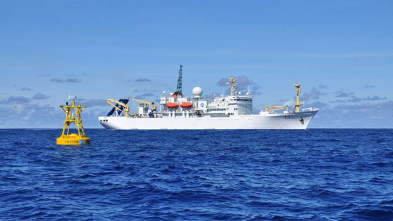
Both JAMSTEC (Japan Agency for Marine-Earth Science and Technology), for which I work, and NOAA are part of GO-SHIP. R/V Ron Brown of NOAA is now observing the I07N section north of 30S. R/V Mirai (Japanese word “future”, see Image 2) of JAMSTEC will occupy the I07S section from 30S to 65S (or ice edge) in the 2019/20 season. The two sections will form a complete trans-basin section, contributing to understanding of the basin scale heat/material circulation of the Indian Ocean.
R/V Mirai has been to the Arctic, Pacific, and Indian Oceans (both subarctic and subtropical) since 1997. Her length is 128.5 m, beam is 19.0 m, depth is 10.5 m, draft is 6.9 m and gross tonnage is 8,706 tons. For hydrographic cruises, she carries 46 scientists on board, deploying CTD, collecting and analyzing water samples, all day and night.
JAMSTEC and NOAA have a long history of collaboration. To better understand and predict climate variations related to El Niño and the Southern Oscillation (ENSO), the TAO/TRITON moored buoy array is operated in the Tropical Pacific Ocean. TAO/TRITON was built over the 10-year period from 1985 to 1994 and is presently supported by JAMSTEC and NOAA.
And another episode of collaboration occurred in 2017. NOAA’s Pacific Marine Environmental Laboratory (PMEL) operates a research mooring at the Kuroshio Extension Observatory (KEO) which is located off the coast of Japan. The KEO surface mooring provides publicly available data including meteorological components such as wind velocity/direction and oceanographic components such as temperature/salinity and surface ocean acidification for international climate researchers worldwide. On October 19, 2017, it broke from its anchor and went adrift. A rescue took place on the high-seas at the end of December 2017, as technicians from JAMSTEC helped recover and redeploy the KEO mooring (See Image 3). The mooring continues to provide important data for the North Pacific research.
There are differences between JAMSTEC and NOAA, such as language, culture onboard, size of scientists onboard, duty team, etc. On the other hand, we (and probably all other sea-going research institutions) all love the sea and science we do, and willing to help each other in need. The collaboration continues.
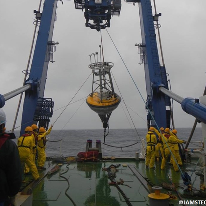
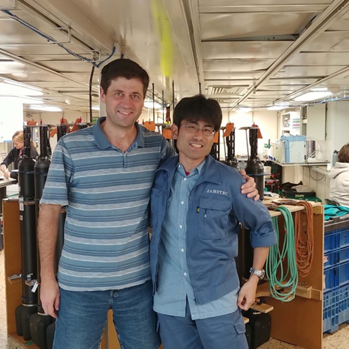
Image Captions
From Left:
- Dennis Volkov and Shinichiro Umeda. Photo Credit: NOAA.
- Buoy Deployment. Photo Credit: JAMSTEC.
- R/V MIARI. Photo Credit: JAMSTEC.