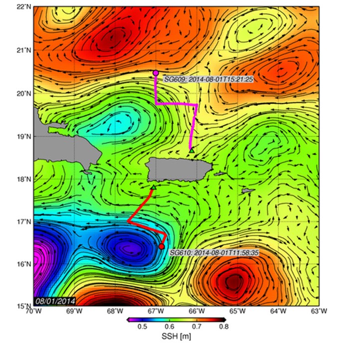
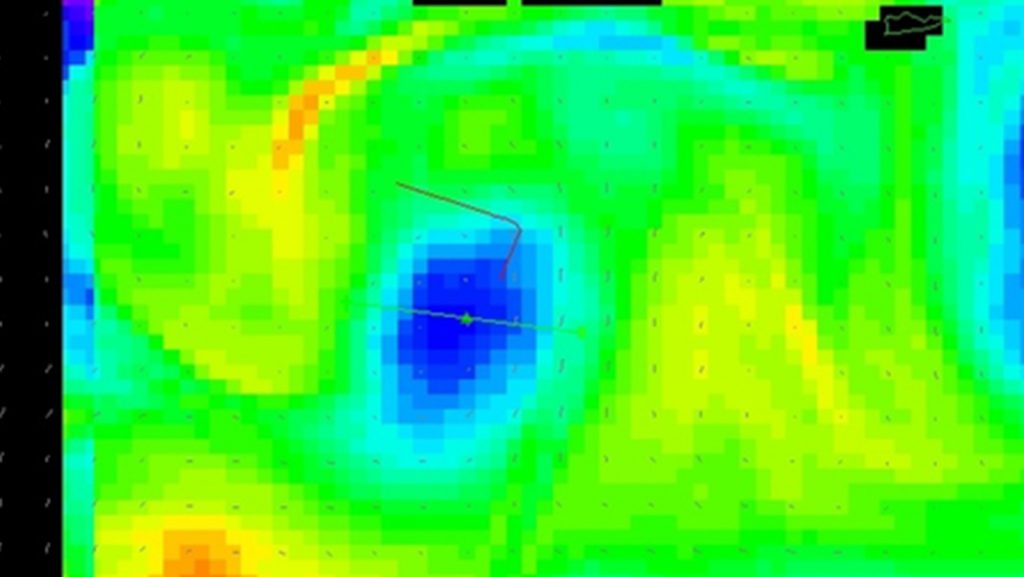
Underwater glider SG610, deployed on July 14, is located in the Caribbean Sea. This glider navigated in a SW, then in a SE, and now in a SW direction since it was deployed. The temperature and salinity profile observations indicate that on July 25 this glider started sampling waters of a cyclonic eddy that is now centered at approximately 16.5°N, 67.5°W, and has a radius of ~0.75deg as derived from satellite altimetry observations. These profile observations show a decrease in the salinity maximum, and a shallowing of the depth of this maximum salinity and of the depth of the 26°C isotherm. The surveyed portion of this cyclonic eddy has a sea surface temperature (SST) of 28°C, sea surface salinity (SSS) of 35.2 PSU, mixed layer depth (MLD, based on temperature) approximately 75m deep, and a salinity maximum of 36.9 PSU at around 150m. The depth of the 26°C at the glider’s current location (16.3°N 66.80°W) is approximately 100m. East of this cyclonic eddy, an anticyclonic eddy is also observed and centered at approximately 15.5°N and 65.25°W. Numerical modeling results indicate that on its current track, the glider is being directed towards the center of this cyclonic ring.

In the North Atlantic, the underwater glider SG609 that was deployed on July 19, traveled in an approximately northward direction at 66°W, turned east at 19.73°N and then north at 67°W. It is currently located at 20.5°N, 67°W, where it will begin traveling inside a large anticyclonic eddy, which at this moment is centered at approximately 21°N. On July 31, when the glider was located at 20.17°N, 67°W, observations indicated that the value of the salinity maximum decreased from 37.2 to 36.9 PSU. The most recent measurements indicate that the SST is approximately 28°C, the SSS is 36.3 (higher than in the Caribbean Sea), and the MLD is approximately 50m (shallower than in the Caribbean Sea). The depth of the 26°C at the glider’s current location (20.5°N, 67°W) is approximately 100m, same as in the Caribbean Sea.
