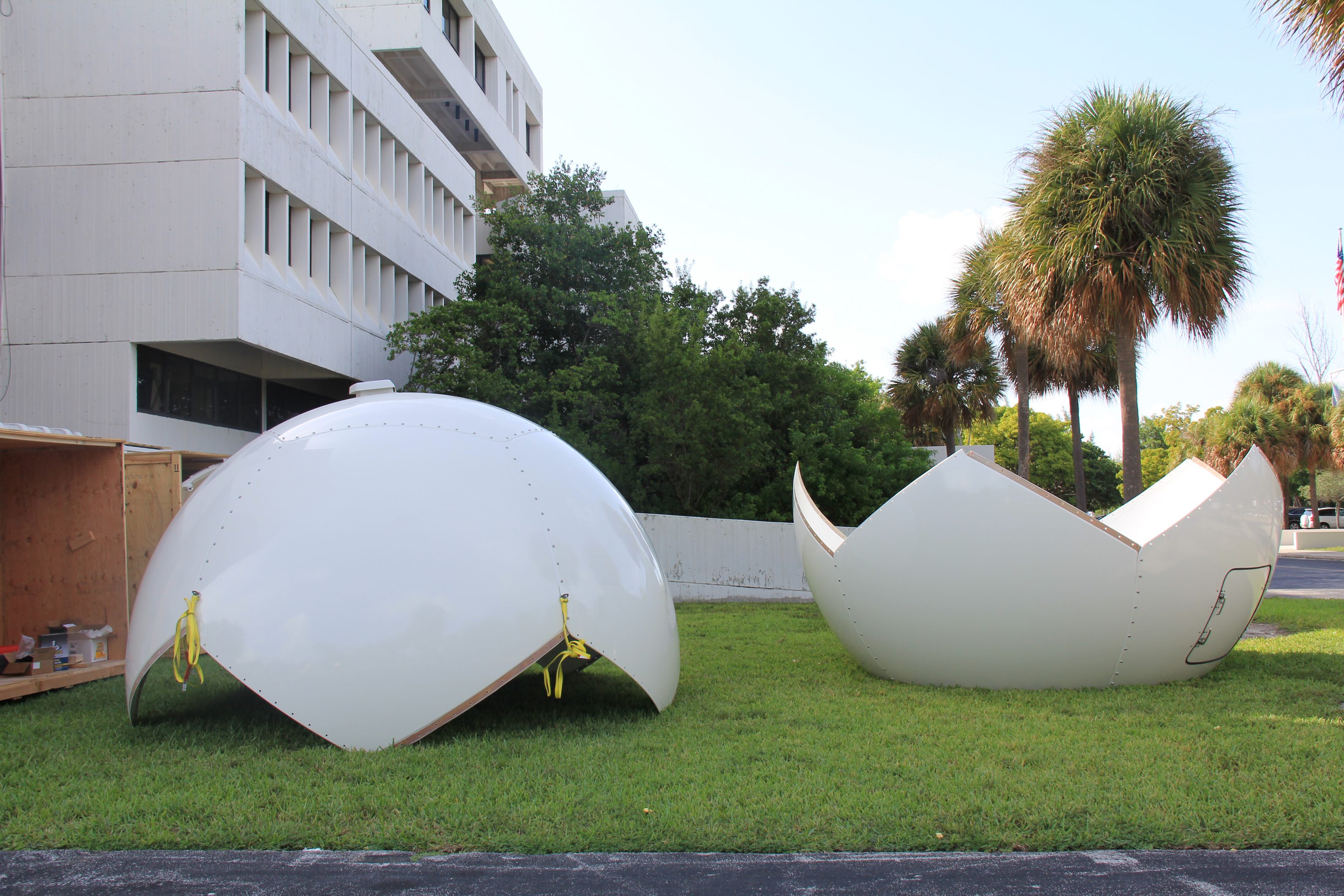
After months of preparation, on September 16th contractors completed the installation of a new X/L-band satellite receiving system on the AOML roof. Funded by the Disaster Relief Appropriations Act of 2013, the new system includes a radome-protected, 2.4-meter antenna and associated data processing and storage equipment. This project is designed to demonstrate the value of improved turnaround times from satellite observations to availability of processed data for operational applications.
The new system augments AOML’s existing L-band antenna, in place since 2000, and expands AOML’s ability to receive telemetry for remote monitoring of environmental conditions. It also enables AOML to create products in support of climate research and operational weather forecasts from the next generation of NOAA’s polar-orbiting satellites, including the Suomi National Polar orbiting Partnership (S-NPP) and Joint Polar Satellite System constellation (JPSS). Sensors received by the new antenna include the Cross-track Infrared Sounder, Advanced Technology Microwave Sounder, Visible Infrared Imager Radiometer Suite, and Ozone Mapping and Profiler Suite.
The dual nature of the new system provides backup reception for the Polar Operational Environmental Satellite (POES) and MetOp satellites, a series of three polar orbiting meteorological satellites operated by the European Organization for the Exploitation of Meteorological Satellites. POES and MetOp satellite telemetry are received by the L-band system. The use of both antennas allows AOML to expand the range of satellites and sensors received, solve previous pass-scheduling problems, and guarantee the operational distribution of the Argos Data Collection and location System in-situ data to the Argos program. Infrared and microwave sounder data from the system will be delivered to NOAA’s National Centers for Environmental Prediction for assimilation into numerical weather prediction models.
NOAA’s National Environmental Satellite, Data, and Information Service (NESDIS) chose AOML as the site for the system
because of its unique location, as well as other advantages: immediate technical support; excellent line-of-sight that ensures optimal coverage of the Caribbean, Gulf of America, and U.S. east coast regions; low radio-frequency interference; close interaction with federal and university researchers; synergy with a community of local entities; and good bandwidth for rapid product dissemination. AOML also hosts the Caribbean-Gulf of America regional node of NOAA’s CoastWatch program and will host NOAA’s Atlantic OceanWatch node, which expands upon the CoastWatch program by gathering satellite observations over large ocean and/or global areas.
First true color image received at AOML from the visible infrared imager radiometer suite sensor. September 18th 2014
Radome is placed over the satellite dish. Credit: NOAA/AOML
Radome is lifted to the AOML roof. Credit: NOAA/AOML
Originally Published September 2014 by Shannon Jones
