
A new study published in Meteorological Applications finds that changes in the flight track patterns of aircraft flying into storms to collect observations for weather forecast models could positively impact forecasts. Differences in where data is collected within a storm changes the model forecast.
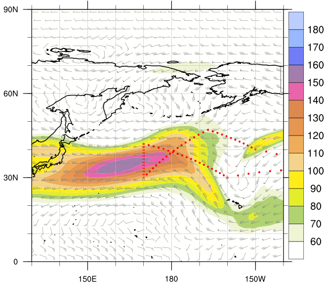
The largest impact could come from reconnaissance devices used to measure storm conditions called dropsondes being released at the exit region of a jet stream, a region of fast upper-level winds favoring storm development.
“In one storm case study, when the dropsondes were released near the exit region of a jet stream in the central Pacific Ocean, improvements in the forecast were found in sea-level pressure and geopotential heights, leading to improved storm placement,” said Andrew Kren, a National Weather Service meteorologist. “However, the results varied by the storm analyzed.”
Improved tropical cyclone forecast models can provide greater knowledge of when and where a storm will come ashore, helping to reduce the extent of evacuation areas, saving lives, and increasing the public’s confidence in NOAA’s official hurricane forecasts and warnings.
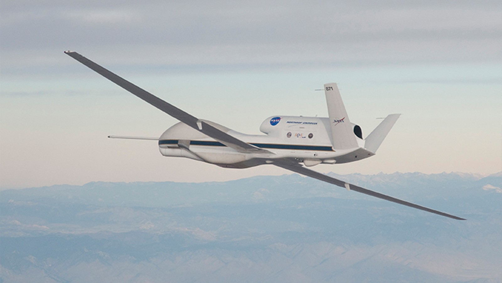
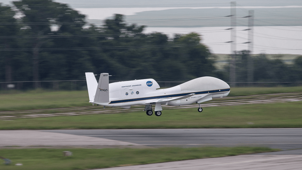
This study looked at flight track patterns and dropsonde data collected by the Global Hawk, an unmanned aircraft system that has been used since 2010 to gather data to improve weather forecasts. The Global Hawk can release dropsondes that measure temperature, pressure, humidity, and wind up to four times every second, starting at an altitude of up to 60,000 feet until it falls to the ocean surface.
Hurricane scientists utilized a technique called an Observing System Simulation Experiment (OSSE), which uses simulated atmosphere observations that are added to different weather forecast models.
“An OSSE uses simulated dropsonde observations in a forecast model, in contrast to an Observing System Experiment (OSE) that uses existing observations from prior flight campaigns,” Kren said. “This allows an OSSE to investigate the impact of various Global Hawk flight sampling patterns on forecasts.”
A series of computer forecasts were made using four different Global Hawk flight tracks into two winter storms. The forecasts model was run with and without the simulated dropsonde data to examine how the different flight tracks changed the forecasts.
This series of forecasts took into account the weather in the area and the techniques that allow scientists to see where additional data in the model will have the biggest impact on forecasts, using simulated dropsonde data.
In both cases, differences in where dropsondes are released changes the model forecasts. It was found that forecast improvement from different flight patterns varies by up to 8 percent. More OSSEs are recommended for different flight tracks and types of weather to help determine where data should be taken to get the best forecasts.