L. Carrillo, E. M. Johns, R. H. Smith, J. T. Lamkin , and J. L. Largier
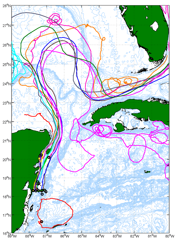
The results of two oceanographic cruises conducted in the Mexican and Belizean shelf waters over the Mesoamerican Barrier Reef during 2006 and 2007 show that the circulation can be divided into two distinct regimes: a northern region dominated by the strong, northward-flowing Yucatan Current, and a southern region with weaker southward coastal currents and the presence of the Honduras Gyre.
A dynamical boundary between the two regimes is formed by the latitude of impingement of the Cayman Current onto the coastline, which varies with time. An understanding of the implications of these different circulation regimes on the water mass distributions, population connectivity, and the fate of land-based pollutants in the Mesoamerican Barrier Reef is critically important to better inform science-based resource management and conservation plans for the region. This manuscript was accepted for publication in Continental Shelf Research.
