
The 2017 hurricane season has already fulfilled forecaster predictions of a busy year. Hurricane Harvey rapidly strengthened to a Category 4 hurricane before making landfall in Texas, late on August 25th. Harvey was the first major hurricane to make landfall in the United States since Wilma in 2005. As Harvey dissipated, Irma began to form in the Eastern Atlantic and rapidly intensified into a Category 5 hurricane on September 5th. Irma quickly became the strongest hurricane outside of the Caribbean Sea and Gulf of Mexico ever recorded. AOML hurricane scientists flew these catastrophic storms to collect critical data both inside the eye and within the surrounding eyewall.
Photo credit: NOAA

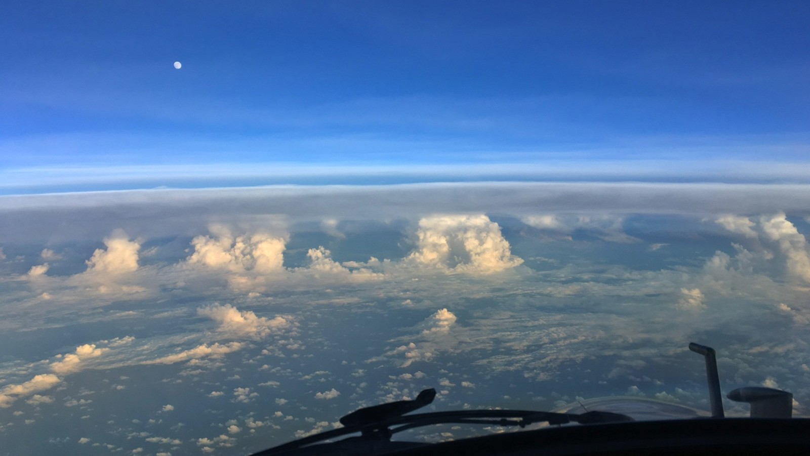
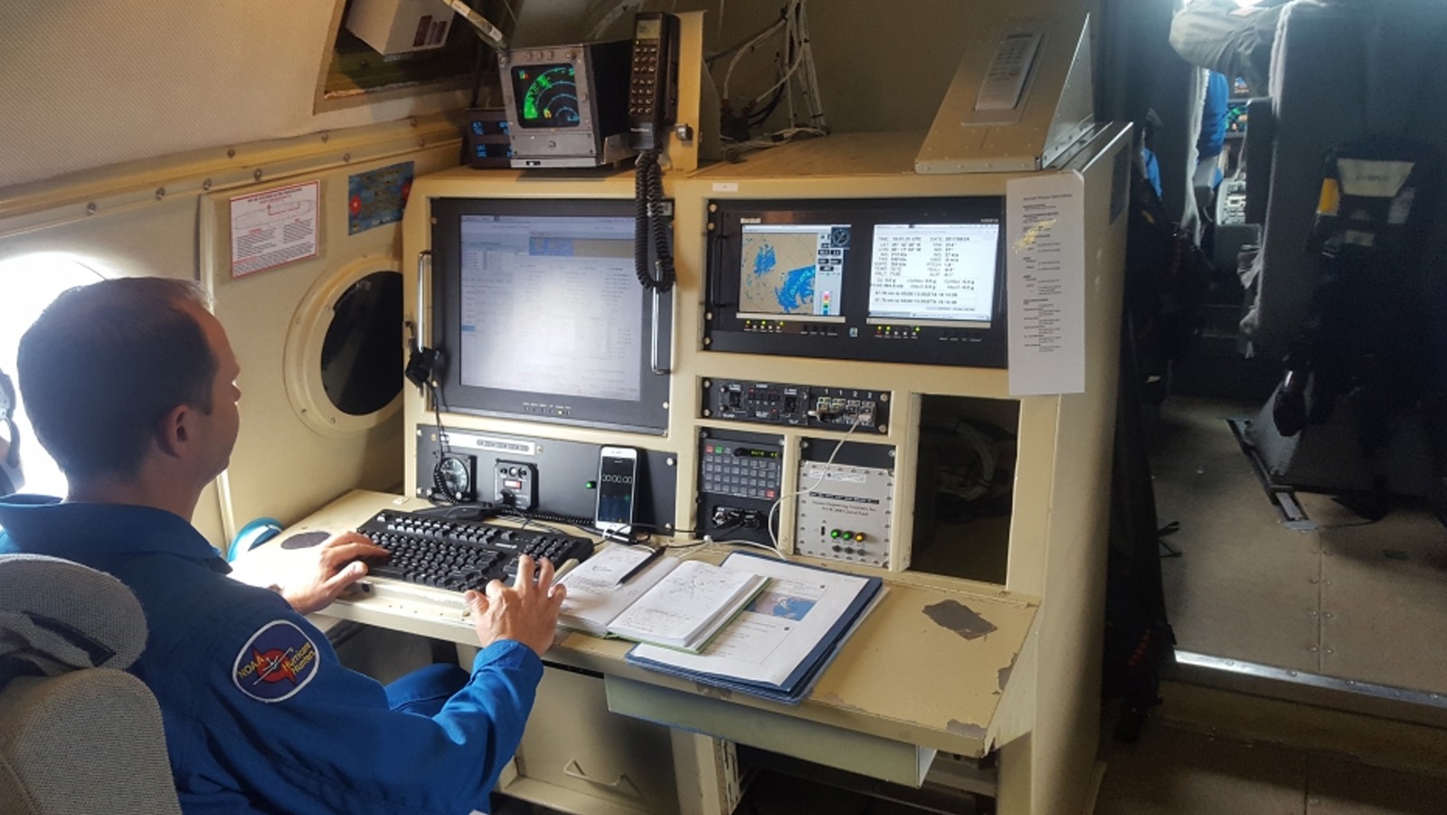
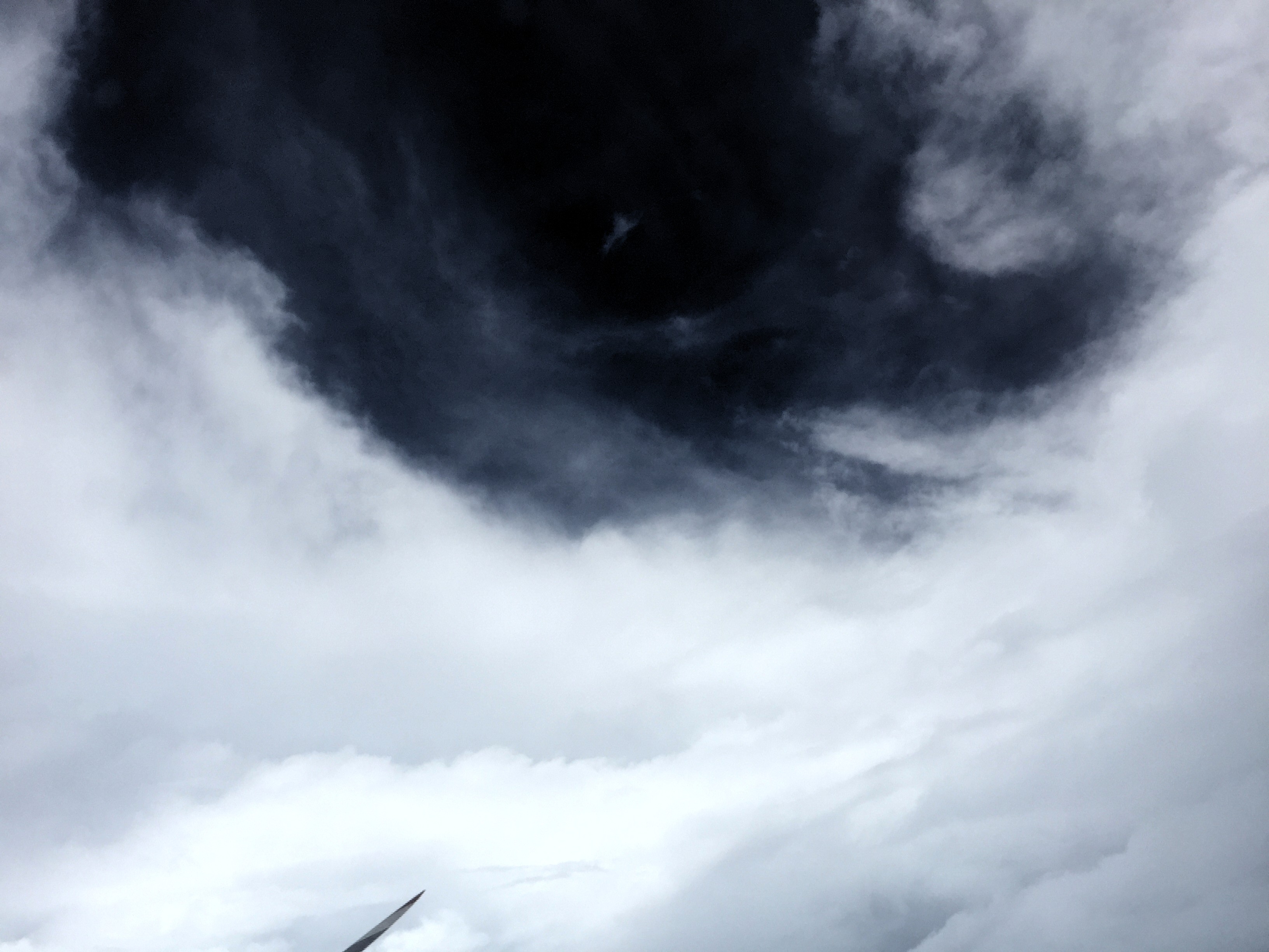
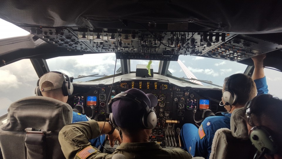
Image Captions
From Left:
- Inside the eye of Irma on P3 Orion aircraft. This is referred to as the “stadium effect”. Image credit: NOAA
- Preflight briefing for the next flight into Irma. Image credit: NOAA
- View of the north-west side of Irma from NOAA’s G-IV flying at 44,000 ft. Image credit: NOAA
- Flight Director Mike Holmes aboard one of four missions into Harvey. Image credit: NOAA
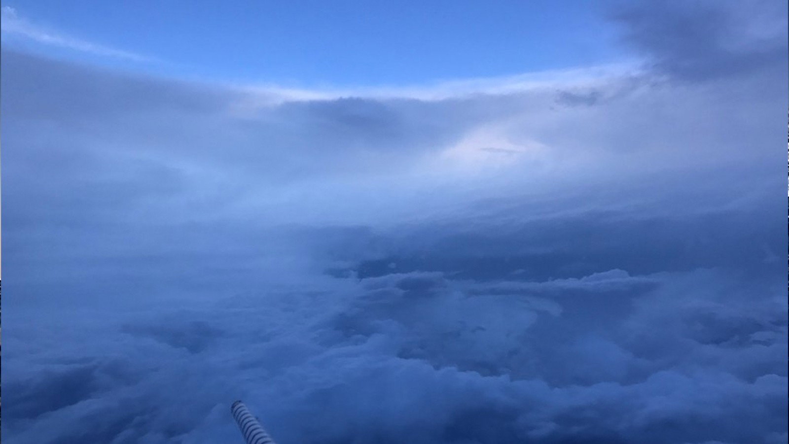
- Inside the eye of Harvey aboard NOAA’s P3 Orion aircraft. Image credit: NOAA
- Hurricane Hunters sit in the cockpit of the P3 (a specialized aircraft created to be a flying lab). Pilots approach the eye of a hurricane as shown through the front window. Photo Credit: NOAA.