NOAA’s G-IV jet and the P3 will fly this afternoon. The G-IV will takeoff at 1:30 PM ET (1730 UTC) and fly around Irma. While the jet collects data around the environment of Irma the P3 goes inside. The P3 is scheduled to takeoff from Barbados at 4 PM ET (2000 UTC. This is the third in a series of flights into Irma. The data collected from both these flights go directly into NOAA’s weather forecast models. Below are the proposed flight tracks. The dots on the G-IV flight track represent where they will launch dropwindsondes. The G-IV will also fly ahead of Irma to better understand the environment that Irma will encounter.

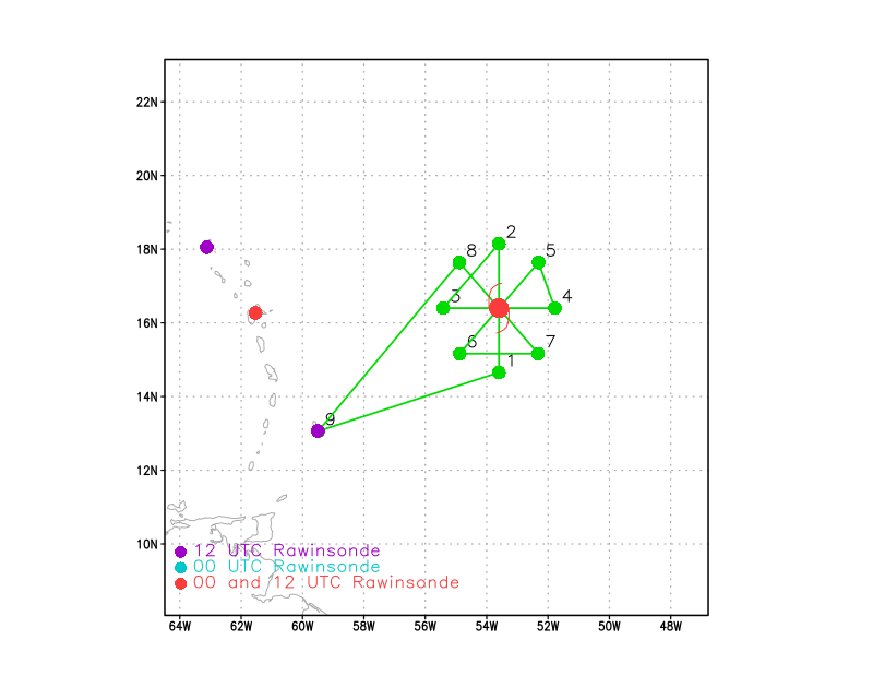
The dots on the flight track below (shown in green) represent the P3 aircraft turn points. The red dots in the figure show the locations that launch weather balloons twice a day while the purple dots are the locations that launch balloons once a day.