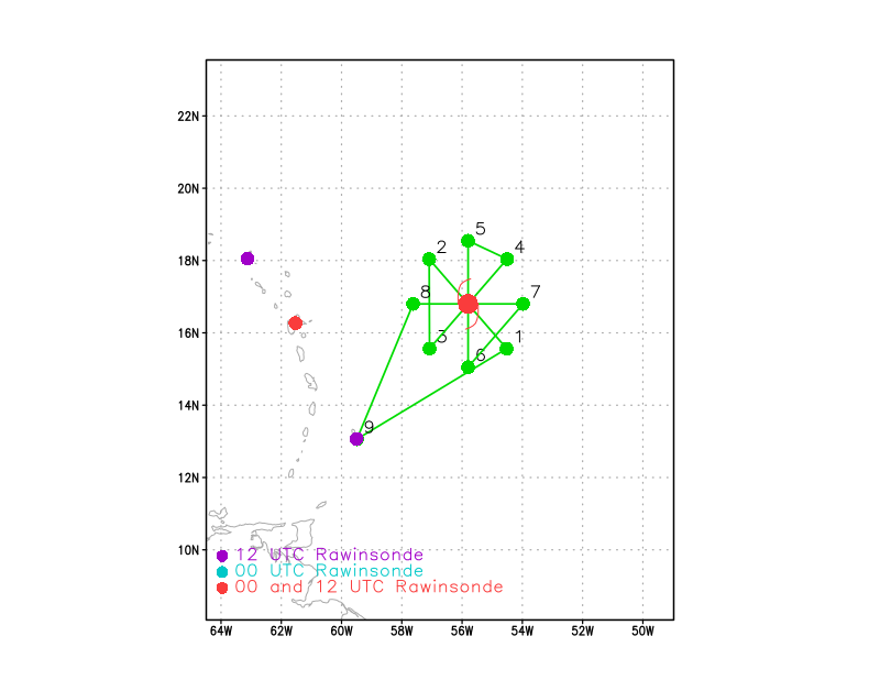
The NOAA42 P3 aircraft took off from Barbados at 4 AM ET (1000 UTC) this morning. It is on its way to gather critical data inside Hurricane Irma. This flight is tasked by NOAA’s EMC. They run NOAA’s weather forecast models and the data from this flight and the previous flights is going into the models. The data provides real-time current information so that the models have a better representation of the current storm and the atmosphere around it. Below is the planned flight pattern. The dots on the flight track below (shown in green) represent the P3 aircraft turn points. The red dots in the figure show the locations that launch weather balloons twice a day while the purple dots are the locations that launch balloons once a day.