Printer Friendly Version
So what's new?

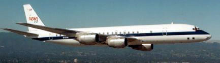
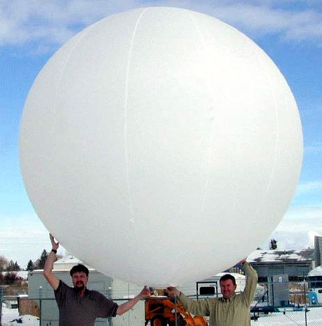
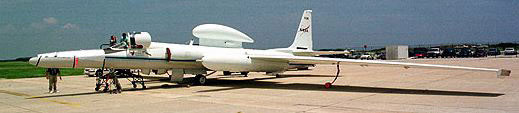
( USWRP | NASA | AES C580 | Aerosonde | SMART Balloon | Ground )


An important USWRP priority is to improve the forecasts of storm intensity and structure change in landfalling hurricanes in order to mitigate problems associated with these storms. A major source of difficulty in the past has been the inability to measure intensity directly, particularly surface winds, and our inability to predict how it changes in response to external and internal fo rcing. Several dramatic cases occurred in recent years suggesting a strong role of air-sea interaction processes on hurricane intensity change. Many of these cases occurred wit hin 24 h of landfall where intensity change forecasts are especially critical. In 1992 Hurricane Andrew gained strength as it passed over the Gulf Stream just before landfall in South Florida. While in 1995 Hurricane Opal intensified rapidly as it moved over a warm eddy in the Gulf of Mexico, then rapidly weakened as it moved over colder shelf water. Over half of the storms that occurred between 1995-2000 had intensified when crossing sea surface temper ature (SST) boundaries, either preexisting or created by previous storms.

HL2001 will focus on the relationship between hurricane intensity change and changes in the internal storm structure, environmental interactions, and underlying SST caused by the storm winds. Direct linkages between hurricane intensity change and observed air-sea changes have been difficult to make since many storms are influenced by atmospheric circulations. In addition, detailed oceanographic and atmospheric observations are generally lackin g. Thus, the primary goal of this study is to capture two complete snapshots of a hurricane, mapping storm structure out to 1000 km from the storm center, from the top of the troposphere to 200 m below the ocean surface for use in studies and modeling of processes related to storm intensification. We hope to establish the link between changes in air-sea interaction processes brought about by changes in oceanic features and changes in the storm structure. To overcome these past difficulties, a mobile obser ving strategy comprised of air-deployed GPS dropsondes, subsurface ocean probes, and airborne remote sensors directly measur ing the atmospheric winds, particularly at the surface.

For information about USWRP gall@ncar.ucar.edu, or elsberry@nps.navy.mil

Back to index

( USWRP | NASA | AES C580 | Aerosonde | SMART Balloon | Ground )

NASACAMEX-4DC-8ER-2

The NASA DC-8 and ER-2 research aircraft are available for hurricane research flights in the Atlantic basin for the seco nd time in the past 3 years under the CAMEX-4 (NASA aircraft last flew in hurricanes in CAMEX-3 in 1998). These research aircraft provide a unique capability to sample the hurricane at altitudes we can't sample wi th the NOAA WP-3D research aircraft. The DC-8 provides a high altitude research platform for a variety of remote sensors, dropsondes and microphysics measurements in the inner core of the sto rm, while the ER-2 provides in situ data in the lower stratosphere, and remote sensed measurements through the troposphere. The research plans for this season include flight tracks for the NA SA aircraft to take advantage of their unique observational capabilities. All of these experiments have been flown in past years, but new emphasis is put on adding the enhanced capabilities of the DC-8 and ER-2 to that of the WP-3Ds.

The most important CAMEX-4 contribution to HL2001 and hurricane research is improved understanding of the distribution of moisture and precipitation i n the inner portion of the storm. In particular, two specific areas deserve mention:

  • the addition of in-situ microphysics observations at 8-10 km altitude (where we lack it the most), together with the rem ote sensing observations of precipitation in the vertical will greatly increase our knowledge of the precipitation processes active in the storm. NASA brings a lot of expertise in interpretation of remote sensing data for rainfall estimation needed to imp rove hurricane precipitation forecasting.
  • an addition that may prove to be equally valuable is remote sensed humidity data collected by the LASE instrument within and surrounding the storm. These profiles will be invaluable to understanding the role environmental humidity plays in storm structure and intensity changes.

For information about NASA CAMEX-4 Robbie.Hood@msfc.nasa.gov

( USWRP | NASA | AES C580 | Aerosonde | SMART Balloon | Ground )< font size="+1" face="Verdana,Helvetica,Arial,sans-serif">

CanadaAES C580

As part of the USWRP effort, we are also pleased to partner with Environment Canada's Atmospheric Environment Service (AES) and the Canadian Research Council Institute for Aerospace Research (IAR), Flight Research Laboratory which will be providing their Convair 580 (C580) research aircraft to fly in tropical cyclones that are transitioning into extra-tropical storms affecting the Canadian Maritimes. These storms pose a significant heavy rainfall threat and forecast problem in this region. The most important contribution to HL2001 will be GPS dropsonde and microphysics observations in these transitioning storms. The Convair 580 also will ma ke vertical incidence airborne radar observations along the aircraft ground track.

Back to index

( USWRP | NASA | AES C580 | Aerosonde | SMART Balloon | Ground )

Aerosonde

Also as part of USWRP, and supported by NASA CAMEX-4, we will have Aerosonde unmanned aerial vehicles participating in HL2001. These small light aircra ft will be used primarily to test the technology and to provide low altitude observations of basic meteorological variables (pressure, temperature, humidity, and wind) in tropical cyclone conditions. One of the goals of Aerosonde's participation is a pene tration of the hurricane eyewall.

Back to index

( USWRP | NASA | AES C580 | Aerosonde | SMART Balloon | Ground )

Also supported by USWRP, we will have NOAA Air Resources Laboratory Smart Balloons participating in HL2001. These autonomous balloons will be used primarily to test the technology and to provide low altitude observations of basic meteorological variables (pressure, temperature, humidity, and wind) in tropical cyclone conditions. One of the goals of their participation is a pene tration of the hurricane eyewall.

Back to index


( USWRP | NASA | AES C580 | Aerosonde | SMART Balloon | Ground )

HaL logo

Also supported by NASA and other agencies are a number of portable groundbased instruments. These instruments will be positioned at the closest point of hurricane landfall. The observations wi ll be focused on the surface wind and rain structure as the storm makes landfall and moves inland. NASA is supporting:

The two SMART radars are run by a consortium including Texas A&M University, Texas Tech University, and the NOAA National Severe Storms Laboratory (NSSL). The X-band radar is operated by t he University of Connecticut and the MIPS by the University of Alabama, Huntsville.

The Institute for Building and Home Safety is also supporting six mobile 10-m towers to measure surface winds during hurricane landfall:

Texas Tech University and NSSL also may provide two or three portable mesonets mounted on renta l cars to make surface wind (3-m) measurements as the storm moves inland.

Back to index

Stay Connected