
Extreme weather events are difficult to predict, causing loss of life and immense damage. Due to this, NOAA has significant interest in extending the forecast lead times for these events by advancing forecasting capabilities.
While the physical mechanisms responsible for extreme events are well understood, their forecast windows are currently too short, often only giving residents a few days’ notice. Scientists are working towards extending these forecasts with the goal of predicting extreme weather events to 2-4 weeks lead times known as “sub-seasonal” or even 3-6 months known as “seasonal” timescales. At these longer timescales, monitoring the ocean’s influences on the atmosphere and slow-moving ocean-atmosphere systems over longer periods is crucial for extending forecast skills.
Scientists within the Physical Oceanography Division at NOAA AOML are addressing this challenge in various ways. For instance, researchers at AOML are actively involved in seasonal severe weather outlooks, with a recent emphasis on sub-seasonal timescales. By combining historical knowledge with cutting-edge research, AOML scientists are at the forefront of understanding and predicting these crucial atmospheric and oceanic phenomena, as further detailed in the following sections.
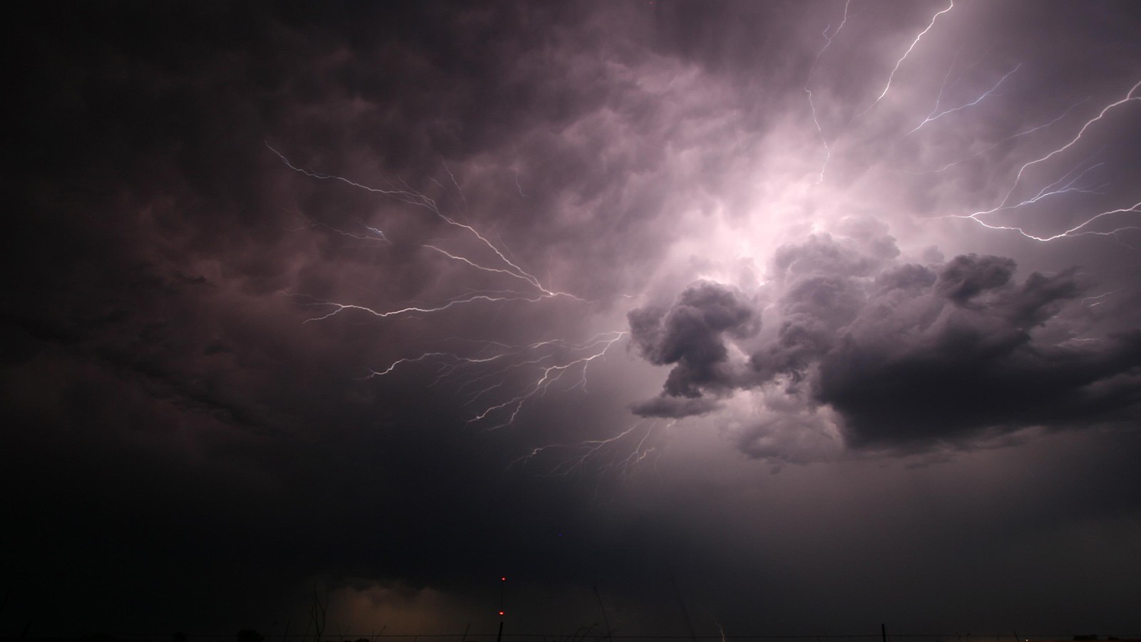
Tornadoes
Recently, a study led by AOML showed that large-scale atmospheric and oceanic conditions promoted environmental conditions that led to the Quad-State Tornado Outbreak on December 10-11, 2021 in the central and eastern US. It was found that the outbreak occurred under a multi-year La Niña, warm Gulf of America sea surface temperatures, and an unusually strong and persistent negative Pacific-North American (PNA) pattern characterized by abnormally high and low atmospheric pressure over the North Pacific Ocean and North America, respectively. The study showed that a prolonged (>6 days) negative PNA produces an atmospheric ridge, an area of high atmospheric pressure, along the southern and eastern US seaboard, which helps warm the Gulf of America. This combination produces favorable atmospheric conditions for US tornado outbreaks over a broad region of the central and eastern US where the Quad-State Tornado Outbreak predominantly occurred. Conversely, a short period (<6 days) of negative PNA does not warm the Gulf of America significantly, thus its impact is limited. Scientists believe the duration of the PNA may be a potential predictor for US tornado forecasts on the subseasonal (2 weeks to 3 months) timescale.
AOML scientists are now evaluating the forecast skill for the Quad-State Tornado Outbreak using NOAA Geophysical Fluid Dynamics Laboratory’s System for High‐resolution prediction on Earth‐to‐Local Domains (SHiELD) model. SHiELD shows skillful predictions at week-1 and week-2 for the negative PNA. However, prediction at week-3 is not as good so scientists will continue to work to improve the sea-surface temperature bias which is likely to enhance the forecast skill for the Quad-State Tornado Outbreak and similar winter outbreaks in the US.
Motivated by the ongoing effort to improve sub-seasonal severe weather prediction, AOML and GFDL scientists are also using the SHiELD model to investigate the predictability of the Madden Julian Oscillation (MJO), a dominant driver of sub-seasonal variability for tornadoes. They have found that by using a refined grid (i.e., higher resolution), the model more accurately predicts weather patterns, extending its reliable forecasts by about 10 days. This, in turn, improves forecasts for severe weather events globally.
While there are no operational weeks 2–4 severe weather outlook produced by NOAA, there are experimental severe weather forecast products for week 2 and beyond that. These products are produced by NOAA’s AOML, National Severe Storms Laboratory, Climate Prediction Center, and academic partners. AOML’s experimental sub-seasonal outlook has proved to be skillful in depicting tornado activity at the week-2 timescales, especially those associated with tornado outbreaks.
Hurricanes
AOML’s scientists form part of NOAA’s official seasonal hurricane outlook, which is issued for the Atlantic and eastern Pacific basins every year. The current seasonal outlook produced by the Physical Oceanography Division is being improved and now includes a regional sub-basin outlook to be more useful for targeted regions.

This sub-basin outlook helps predict more accurately where hurricanes might hit the U.S. providing actionable information for decision makers about how to reduce risks from weather, such as understanding potential losses, creating financial risk strategies, and getting disaster supplies ready beforehand.
Heat waves and Droughts
Heat waves are the leading weather-related cause of death in the U.S. Researchers at AOML are working on understanding the driving forces behind heat wave occurrence, having already demonstrated physical links between ocean circulation and its impact on heat wave occurrence in the US and monsoonal rainfall. Research led by the Physical Oceanography division found that many of these heat waves and droughts are predictable at seasonal timescales.
For example, scientists recently found a link between the longest-lasting 2023 heatwave over the southwest US and Mexico and the record warm sea surface temperatures in both the Atlantic and Pacific Ocean.

This billion-dollar weather disaster that affected the southwest U.S. ($14.5 billion in economic loss) was linked to oceanic drivers, which are better predicted at sub-seasonal and seasonal lead times. As such, AOML is working on developing a seasonal outlook for heat waves based on these links. A recent study highlights that a small 1% improvement in seasonal outlooks of temperature and rainfall could yield tens of billions of dollars in economic activity.
Atmospheric Rivers
Atmospheric rivers are relatively long, narrow regions in the atmosphere – like rivers in the sky – that transport most of the water vapor outside of the tropics. While atmospheric rivers can vary greatly in size and strength, the average atmospheric river carries an amount of water vapor roughly equivalent to the average flow of water at the mouth of the Mississippi River. Exceptionally strong atmospheric rivers can transport up to 15 times that amount. AOML is involved in analyzing the prediction skill of landfalling atmospheric rivers and precipitation over the western US and Gulf Coast using subseasonal SHiELD CONUS-Nested forecasts. Analysis suggests that these forecasts can predict landfalling atmospheric river activity over the western US out to two weeks, with 7-day accumulated precipitation predictability extending even farther into the three-week range.
Improved extreme flooding forecasts would provide better advance warning to minimize catastrophic loss of life and damage to critical infrastructure. Extending the forecast lead time for atmospheric river events can reduce economic losses by providing crucial information for decision-making, such as informing evacuation efforts, managing spillway control, optimizing hydroelectric power generation, and guiding irrigation strategies.
There is a pressing need for extending predictions for extreme events to longer lead times and scientists in AOML’s Physical Oceanography Division are working towards tackling this issue. Long-range forecasts of heatwaves, droughts, floods, and severe storms could enable communities to better prepare and implement early warning systems. For example, in agriculture, extended lead times for precipitation and temperature anomalies would allow farmers to make informed decisions about planting, irrigation, and harvesting, thereby mitigating crop losses.
References:
Kim, D., Lee, SK., Lopez, H. et al. An unusually prolonged Pacific-North American pattern promoted the 2021 winter Quad-State Tornado Outbreaks. npj Clim Atmos Sci 7, 133 (2024).
Kim, D., Lee, S. K., & Lopez, H. (2020). Madden–Julian oscillation–induced suppression of northeast Pacific convection increases US tornadogenesis. Journal of Climate, 33(11), 4927-4939.
Lee, S. K., Lopez, H., Kim, D., Wittenberg, A. T., & Kumar, A. (2021). A seasonal probabilistic outlook for tornadoes (SPOTter) in the contiguous United States based on the leading patterns of large-scale atmospheric anomalies. Monthly Weather Review, 149(4), 901-919.
Lopez, H., K., Lopez, H., Kim, D., R. West, & L. Jia. (2025). The longest-lasting 2023 western North American heat wave was fueled by the record-warm Atlantic Ocean. Nature Communications, 16(1), 6544.
Lopez, H., Kim, D., West, R., & Kirtman, B. (2022). Modulation of North American heat waves by the tropical Atlantic warm pool. Journal of Geophysical Research: Atmospheres, 127(21), e2022JD037705.
West, R., Lopez, H., Lee, S. K., Mercer, A. E., Kim, D., Foltz, G. R., & Balaguru, K. (2022). Seasonality of interbasin SST contributions to Atlantic tropical cyclone activity. Geophysical Research Letters, 49(4), e2021GL096712.
West, R., Lopez, H., Lee, S. K., Kim, D., Mercer, A. E., Foltz, G. R., & Wang, H. (2025). Sub-basin forecasts of seasonal Atlantic hurricane activity: skill and challenges. Weather Analysis and Forecasting, 40(11), 2225-2238.
Zavadoff, B. L., Gao, K., Lopez, H., Lee, S. K., Kim, D., & Harris, L. M. (2023). Improved MJO forecasts using the experimental global‐nested GFDL SHiELD model. Geophysical Research Letters, 50(6), e2022GL101622.
Zavadoff, B. L., K-Y. Cheng, H. Lopez, D. Kim ,R. West, K. Gao, J.-H. Chen, & L. M. Harris. Western US Subseasonal Atmospheric River Prediction in the Global-Nested GFDL SHiELD Model. (2025). Journal of Geophysical Research – Atmospheres, 130, e2025JD043896.