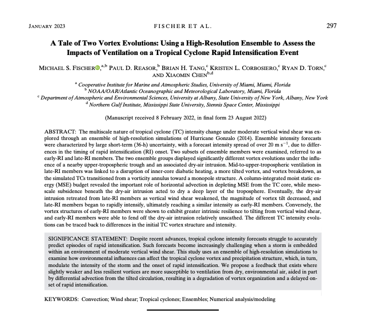
Accurately predicting when a tropical cyclone will begin a quick and sudden increase in intensity (rapid intensification or RI) is a significant challenge. In this study, we analyzed a group (or ensemble) of computer model forecasts of a real RI event to better understand it. To accurately forecast tropical cyclone intensity and when RI will begin, it is extremely important that the computer models start with the correct tropical cyclone intensity and structure so that the storm’s interaction with its environment is properly predicted.

Figure 1. Forecast intensity of Hurricane Gonzalo from all 60 ensemble members. Panel a shows minimum sea-level pressure (hPa or mb), and panel b shows the maximum-sustained wind (ms-1) at 10 m above the surface. Forecasts from ensemble members that underwent RI early in the period (labeled early-RI) are shown in red and those that underwent RI late in the period (labeled late-RI) are in blue. The observed intensity of Hurricane Gonzalo is shown by the thick black line.
■ Summary:
Despite recent advances, hurricane specialists struggle to accurately predict RI. One important factor that controls how intense a tropical cyclone will get is the environmental vertical wind shear, or the difference in wind velocity between the top and bottom of the storm. High shear limits the ability of thunderstorms to organize around the tropical cyclone center and intensify the system like it can when the shear is low. When the shear is moderate, the tropical cyclone sometimes intensifies, even rapidly, and sometimes weakens, and forecasting these systems is very challenging.
To better understand why some tropical cyclones experience RI in environments of moderate wind shear while others do not, we analyzed an ensemble of 60 computer model forecasts of a real system (Hurricane Gonzalo in 2014) that experienced RI. Because we are not able to measure the precise values of temperature, pressure, moisture, or wind velocity everywhere, we made small tweaks to the initial structure of Gonzalo and its environment that were consistent with our observations. These initially small differences between each ensemble member grow quickly, with the range of peak wind speeds between the strongest and weakest forecasts displaying a 25-ms-1 (or 50-mph) spread just 36 hours into the forecasts (Fig. 1).

Figure 2. Simulated radar reflectivity every 12 h (shaded; dBZ) for typical early-RI (top row) and late-RI (bottom row) forecasts. Regions of high reflectivity values indicate heavy rainfall. Black contours show areas of strong thunderstorms. Although the early-RI forecast maintained a well-organized ring of rain and thunderstorms (known as the eyewall) around Gonzalo’s center, the late-RI forecast showed a significant decrease in organization around forecast hour 36 (as seen by lower reflectivity in the hurricane’s eyewall in panel g), and the storm weakened due to dry air entering the hurricane inner core.
■ Important Conclusions:
- In the case of Gonzalo, the timing of RI onset was dependent on how the simulated storms interacted with a region of dry, environmental air. Simulated storms that were initially stronger and better organized were able to better fend off the dry air and intensify more quickly.
- The key differences between early-RI and late-RI groups were traced back to differences in the initial intensity and structure of Gonzalo. At the beginning of the forecasts, storms in the early-RI group were slightly more intense and had circulating winds that were more vertically aligned than storms in the late-RI group. Both groups had similar areas of moist and dry air in Gonzalo’s environment.
- The storms in the late-RI group experienced a period of weakening due to an approaching region of dry air in the mid-to-upper portion of the atmosphere in Gonzalo’s environment. This dry air weakened the thunderstorms in the inner core of Gonzalo (Figure 2g). This made Gonzalo even more vulnerable to dry air partly because the circulation became tilted with height, and that dry air moved directly over the low-level storm center. It was not until Gonzalo moved into a more favorable environment that the tropical cyclone in the late-RI group began to rapidly intensify.
- The early-RI group also predicted the approach of a region of dry, environmental air, but, because the circulation in these cases was stronger and more vertically aligned than in the late-RI group, the dry air was not able to move toward the core of Gonzalo. As a result, the thunderstorm activity in the early-RI group remained more persistent, and Gonzalo did not weaken, and, in fact, rapidly intensified earlier than in the late-RI group.
- To improve our forecasts of hurricane intensity when the vertical wind shear is moderate, it is extremely important that our computer models begin their forecasts with the correct intensity and structure of the storm so that interactions with the environment are properly forecast.

For more information, contact aoml.communications@noaa.gov. The full text of the article can be found at https://doi.org/10.1175/MWR-D-22-0037.1. The authors acknowledge funding support from the Office of Naval Research Tropical Cyclone Rapid Intensification (TCRI) Program under Award ONR-005722.