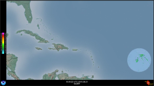
This year, real-time radar imagery from the P3’s lower-fuselage radars were transmitted to the ground in real time for the first time, so that forecasters at the National Hurricane Center could see the structure of the storms far away from land. ftp://ftp.aoml.noaa.gov/hrd/pub/blog/meetings/2015/HFP/LF_radar_earthrel/20150821Iz_ea_ref.mp4 is an animation of all the P3 flights into Hurricane Danny and Tropical Storm Erika earlier this season, starting with the ferry from MacDill Air Force base to Barbados, and ending with the return flight from Barbados through Erika and back to MacDill. Thanks to our colleague Charles Lynch of the NOAA Aircraft Operations Center for making these available.
You can find animations of individual flights at ftp://ftp.aoml.noaa.gov/hrd/pub/blog/meetings/2015/HFP/LF_radar_earthrel