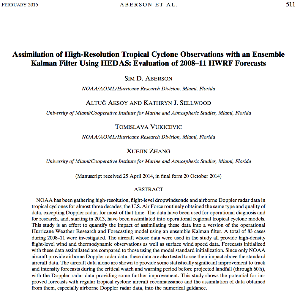
NOAA and U. S. Air Force aircraft have been gathering wind, temperature, humidity and pressure information inside hurricanes for more than 30 years. The NOAA aircraft have been fitted with Doppler radars that can see the entire hurricane’s rain and wind from near the ground to the top of the clouds. All the information is sent from the aircraft to the National Hurricane Center so they can see what the hurricane looks like. However, until now, we have not yet had the computer power to get the information into the models that are used to forecast where the hurricane will go and how strong the wind and rain will be. This study marks the first time that this information has been used in NOAA’s Hurricane Weather Research and Forecast (HWRF) model. It shows that there is hope for making better forecasts using the information from flights into hurricanes.
Important conclusions:
-
Forecasts of where the hurricane will go using the information from the aircraft are about 10% better than those that do not use it.
-
Forecasts of the fastest wind speed in the hurricane using the aircraft data are up to 23% better than those that do not use it.
-
Forecasts of the winds surrounding the hurricane center are also better when they use the information from the flights.
The paper can be accessed at http://journals.ametsoc.org/doi/abs/10.1175/MWR-D-14-00138.1.
