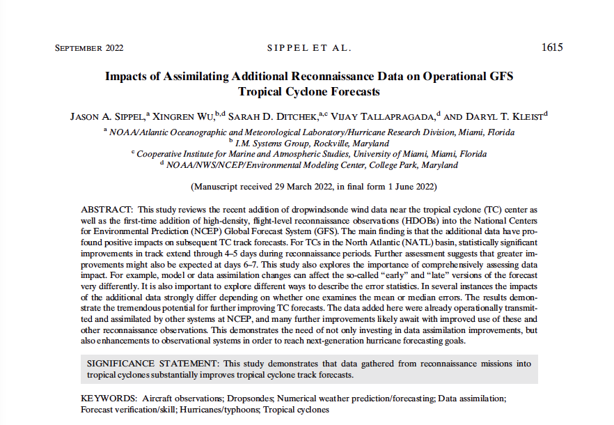
Data gathered from Hurricane Hunter missions into tropical cyclones substantially improves tropical cyclone track forecasts.
■ Summary:
Ingesting observations from Hurricane Hunter aircraft into computer models is known to improve forecasts of tropical cyclones. Among these observations are those from instruments that are released from the aircraft and report pressure, temperature, humidity, and wind velocity as they fall to the surface (known as dropwindsondes), and instruments aboard the aircraft that report the same data at the plane location. Though all of these observations have been used in NOAA tropical cyclone models in the past, many have never before been used in NOAA’s global model, known as the Global Forecast System. This study reviews the impact of ingesting these additional data on the accuracy of tropical cyclone forecasts. Additional methods to measure forecast accuracy are proposed, since existing methods can be incomplete or even misleading.

■ Important Conclusions:
Data from Hurricane Hunter aircraft substantially improve forecasts of where the tropical cyclone will go (track forecasts) through one week in NOAA’s Global Forecast System (top half of Fig.).
The same data slightly improve how intense the tropical cyclone will be (intensity forecasts) in the same model (bottom half of Fig.).

The full text can be found at https://journals.ametsoc.org/view/journals/wefo/aop/WAF-D-22-0058.1/WAF-D-22-0058.1.xml?rskey=UdcCl1&result=1. For more information, contact aoml.communications@noaa.gov.