Summary:
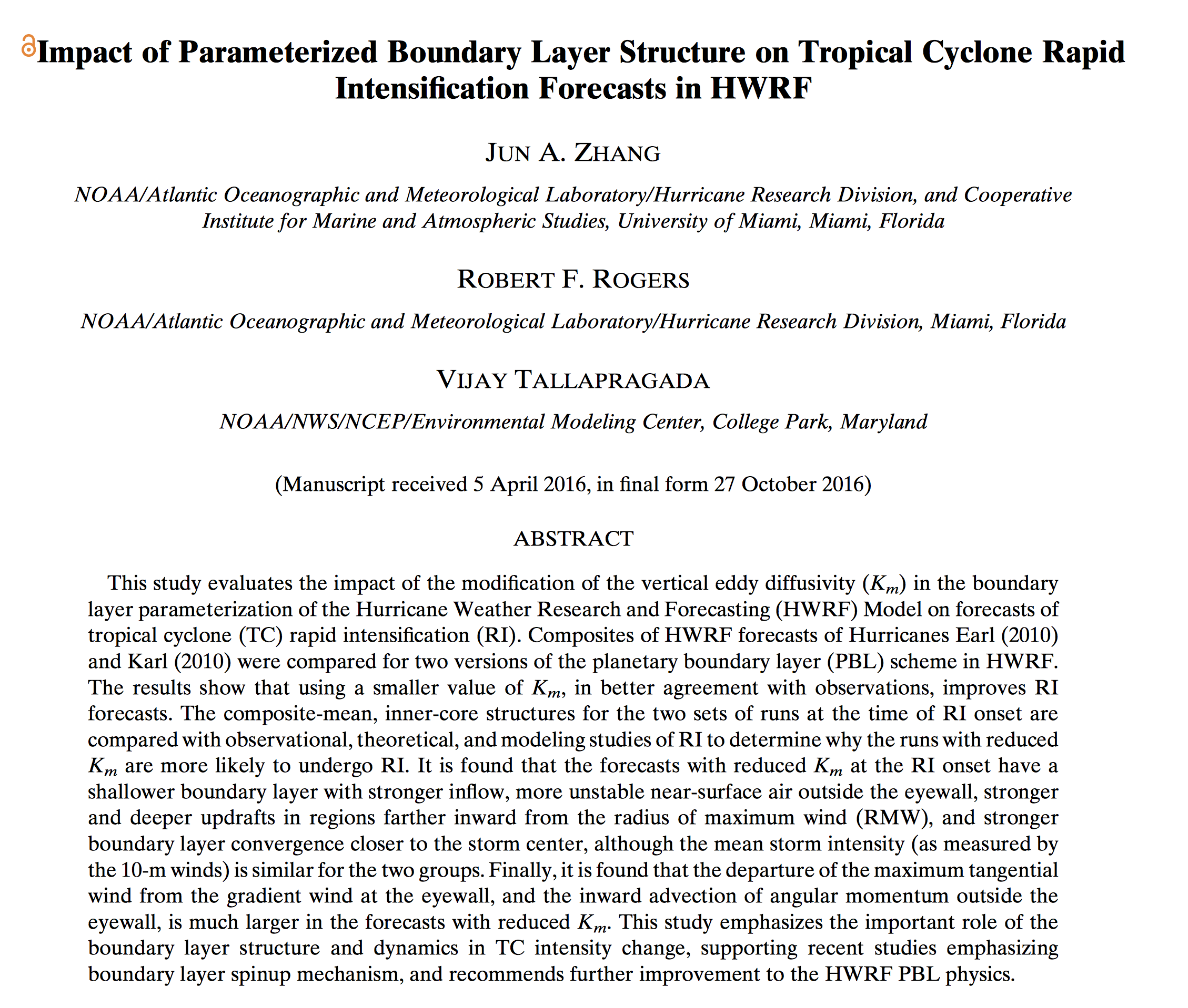
Forecasters and researchers use the Hurricane Weather Research and Forecasting (HWRF) model to forecast where a hurricane will go, how strong it will be, how large it will be, and where the strongest winds are. This paper looks at how winds close to the surface in hurricanes are transferred upward and how changes in the strength of this transfer affect forecasts of rapidly intensifying hurricanes. HWRF is run a number of times changing the wind close to the surface and how energy and moisture move from the ocean surface into the hurricane. These changes are based on earlier observations of these winds from NOAA Hurricane Hunter aircraft. The HWRF forecasts of rapid intensification of two well-sampled hurricanes, Earl (2010) and Karl (2010) were significantly improved with these changes. The improvements are consistent with recent studies emphasizing the importance of the region near the surface in driving hurricane rapid intensification.
Important Conclusions:
1. Wind features close to the surface and the way that energy and moisture move from the ocean surface into the hurricane are important for forecasts of how strong a hurricane will become.
2. These features near the ocean surface also affect how quickly a hurricane can strengthen.
3. The findings from this paper will guide model developers to make future intensity change forecasts better.

You can read the paper at http://journals.ametsoc.org/doi/abs/10.1175/MWR-D-16-0129.1.
