Resumen:
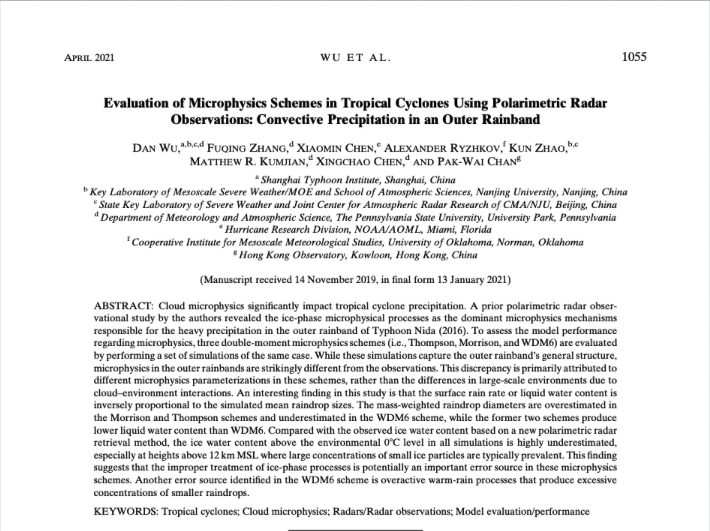
Tropical cyclones (TCs) are made up of clouds and thunderstorms, and thus drop large amounts of rain. The clouds are made up of cloud particles such as raindrops, snowflakes, and ice. Knowledge of the ways these particles form, grow, and fall (what we call cloud microphysics) is very important for accurate TC rainfall forecasts, so they must be put into the computer models we use to make forecasts.

Ground-based weather radars are now polarimetric, meaning they can provide information on cloud particles such as the size, shape, and amount. Using observations from these radars, we can see how well three common microphysics schemes in the computer models can forecast what actually happens. We did this for the region about 200 km from the TC center where areas of curved clouds and thunderstorms exist (known as outer rainbands). The study looks at what these schemes accurately forecast and what they miss, since understanding what they miss can help us to improve the models and thus rainfall forecasts.

■ Important Conclusions:
- The computer models with any of the three microphysics schemes are able to forecast where the storm will go and how strong it will be (track and intensity, respectively), and also the outer rainbands. However, none of the microphysics schemes are able to forecast the size of raindrops in the outer rainbands.
- All three schemes forecast less ice in the clouds than actually occurs, especially more than 12 km above the surface (see Fig. 1a).
- In all three schemes, the bigger the raindrops, the less liquid water or rain falls; the smaller the raindrops, the more liquid water or rain falls, which surprised us. (See Fig. 1b).
For more information, contact aoml.communications@noaa.gov. Download the full paper at https://journals.ametsoc.org/view/journals/mwre/aop/MWR-D-19-0378.1/MWR-D-19-0378.1.xml?tab_body=pdf.
This work was primarily supported bythe National Key Research and Development Program of Chinaunder Grants 2018YFC1506404, Key Program for InternationalS&T Cooperation Projects of China (Grant 2017YFE0107700and 2020YFE0201900), the National Natural Science Foundationof China (Grants 41705036, 42025501, 41605033, 41875053,41775064, 41775065, and 41875080), the Open Research Programof the State Key Laboratory of Severe Weather, the 5th ‘‘333High-level Personnel Training Project’’ of Jiangsu Province(BRA2019037), the Fundamental Research Funds for theCentral Universities, TyphoonScientific and TechnologicalInnovation Group of Shanghai Meteorological Service,the Research Grants Council of the Hong Kong SpecialAdministrative Region of China Grant City (U11301417),and Scientific Research Program of Shanghai Science andTechnology Commission (19dz1200101). The authors ac-knowledge the Texas Advanced Computing Center (TACC)at the University of Texas at Austin for providing computing and storage resources that have contributed to the research results reported within this paper.