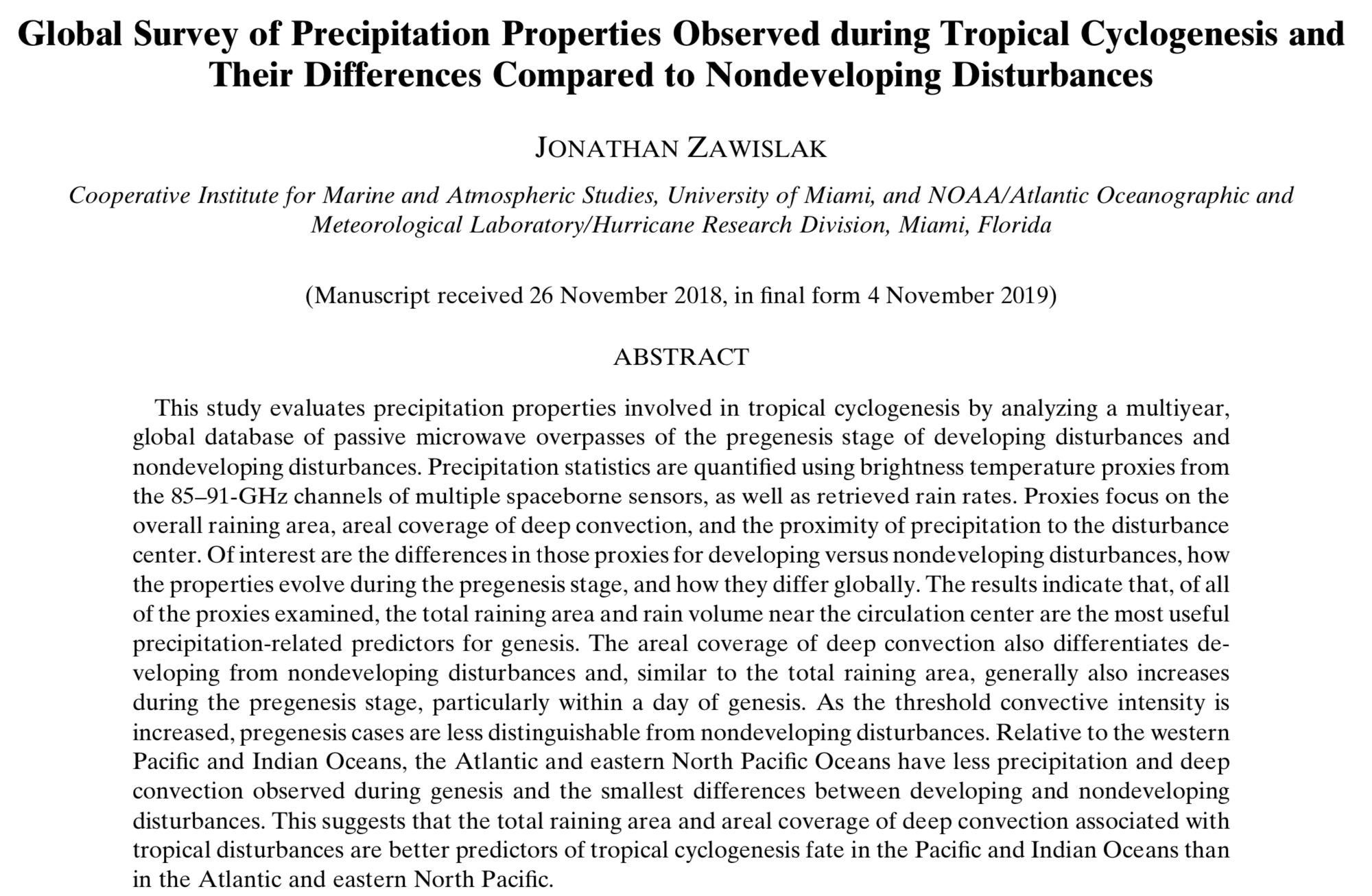
Summary: Many weather satellites are outfitted with instruments that can see through clouds to sense where and how hard it is raining (the rain rate), and how much of the rain is occurring in deep convective clouds (cumulus and cumulonimbus clouds that form when warm air rises). They can also see tropical disturbances, which are usually made up of deep convective clouds and sometimes form into tropical cyclones. This study uses satellite data from 2004 – 2015 in the Atlantic Ocean and in the Pacific Ocean east of the international dateline, and data from 2009 to 2015 in the rest of the world, to look at the measurements to find differences in rainfall and deep convective clouds between disturbances that become tropical cyclones (developing cases) and those that do not (non-developing cases).
Important Conclusions:
- The total rain volume, a combination of the size of the area where it is raining and the rain rate, is much greater in developing tropical disturbances than in non-developing ones in all oceans. The largest differences are in the North Pacific and Indian Oceans.
- There are far more deep convective clouds in developing disturbances than in non-developing ones.
- When disturbances develop, the area where it is raining gets larger, and the rain tends to develop near the center of the disturbance, and the biggest increase in this area occurs within 2 days of the disturbance becoming a tropical cyclone.
- There is an increase in the amount of deep convective clouds and rain rate over the Western North Pacific Ocean for developing cases but not in the Atlantic Ocean.
- The amount of rainfall in a tropical disturbance could be used to forecast whether a disturbance will become a tropical cyclone.

You can read the study at https://journals.ametsoc.org/doi/full/10.1175/MWR-D-18-0407.1
