Resumen:
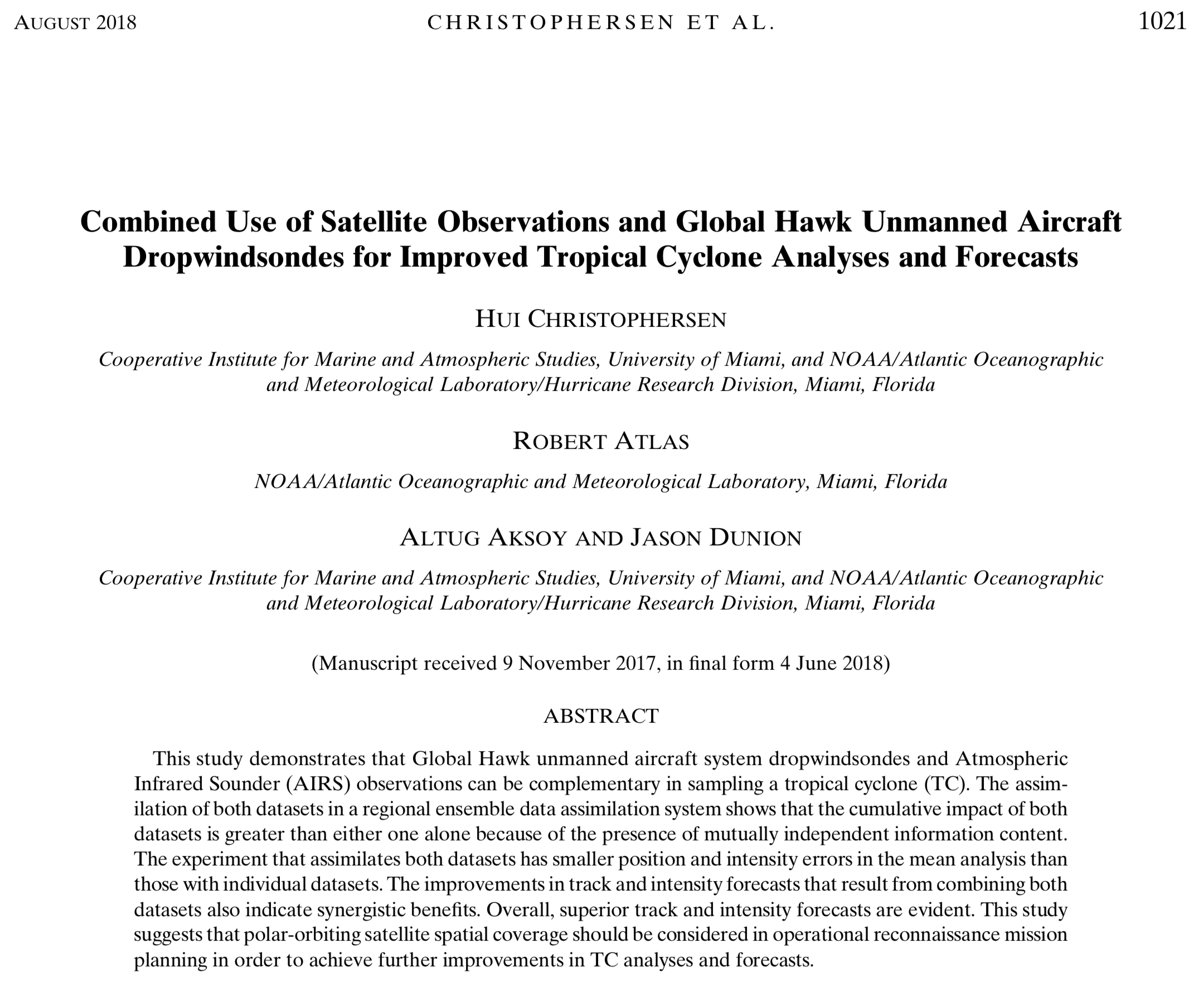
Because satellites are observing the weather all the time, there are almost always satellite data available around hurricanes or tropical cyclones (TCs). On the other hand, Hurricane Hunter aircraft can only reach TCs when the storms are near land and when airplanes and crews are available. When Hurricane Hunter missions are planned, the regular satellite data are not considered, and there is little research to examine the result of combining satellite and aircraft data on forecasts.
In this study, we look at data from the Atmospheric InfraRed Sounder (AIRS) and dropwindsonde data from the Global Hawk aircraft. AIRS is an instrument that was launched on May 4, 2002, aboard the National Aeronautic and Space Administration’s Aqua satellite. It provides temperature and humidity data through the atmosphere. Because it circles the earth every 99 minutes 438 miles above the surface, data from the instrument are not available over every TC all the time. The Global Hawk is a drone that can fly for up to 24 hours at an altitude of ~65,000 ft and collect weather data to improve forecasts. It can release up to 90 dropwindsondes that measure wind, temperature, humidity, and pressure four times every second as it falls to the surface and radios that information to scientists on the ground.
This study looks at the impact of dropwindsonde data from the Global Hawk in and around TCs from 2012-2016 whenever there are also AIRS data in the area. To put the data into the model, we used the Hurricane Research Division’s experimental Hurricane Ensemble Data Assimilation System(HEDAS). The National Oceanic and Atmospheric Administration operational Hurricane Weather and Forecasting (HWRF) model is used to predict the track and intensity of the TCs.

Important Conclusions:
-
Global Hawk dropwindsonde and AIRS data are usually in different parts of the TC. Global Hawk dropwindsondes are usually released close to the TC center, and AIRS usually measures areas away from the TC.
-
Global Hawk dropwindsondes and the AIRS data together provide better analyses (the starts of a model’s forecasts) and forecasts than either one by itself.
-
Satellite data should be considered in planning Hurricane Hunter aircraft missions to provide the best TC forecasts.
You can read the study at https://journals.ametsoc.org/doi/abs/10.1175/WAF-D-17-0167.1.
