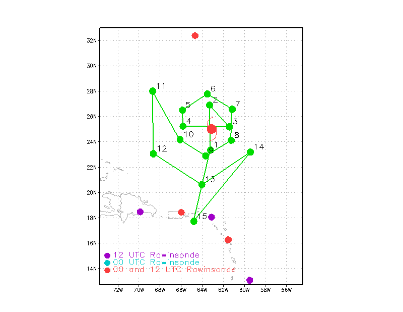
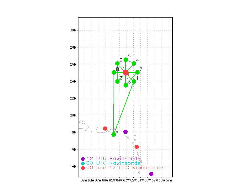
NOAA’s G-VI jet and P3 will fly today to collect data in, around, and over Karl. The G-IV will take off first at 1:30PM (1730 UTC) followed by NOAA43 taking off at 2:00PM (1800 UTC). The objective for these two missions is to collect data and understand the atmospheric conditions around Karl and how the storm interacts with its surroundings. Below are the proposed flight tracks. The dots on the flight track (shown in green) represent the aircraft turn points. The red dots in the figure show the locations that launch weather balloons twice a day while the purple dots are the locations that launch balloons once a day.