A research vessel ploughs through the waves, braving the strong westerly winds of the Roaring Forties in the Southern Ocean in order to measure levels of dissolved carbon dioxide in the surface of the ocean. (Nicolas Metzl, LOCEAN/IPSL Laboratory).
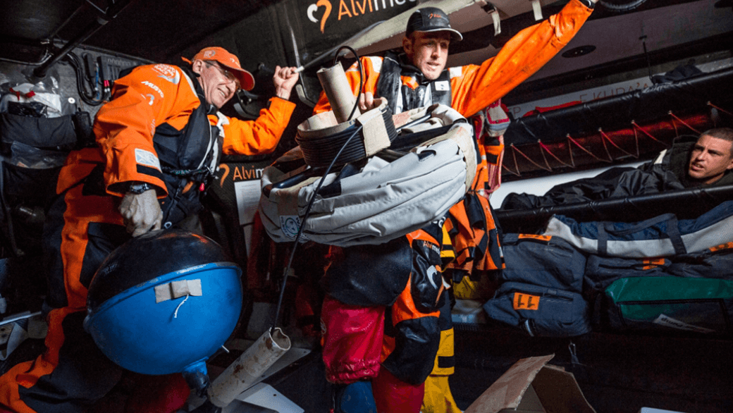
If you’ve ever sailed aboard a ship in the coastal ocean, or checked a weather report before going to the beach, then you are one of many millions of people who benefit from ocean observations. NOAA collects ocean observations and weather data to provide mariners with accurate forecasts of seas, as well as coastal forecasts and even regional climate predictions. It takes a lot of effort to maintain observations in all of the ocean basins to support these forecasts, and NOAA certainly can’t do it alone. Partnerships are essential to maintaining a network of free-floating buoys, known as drifters, and NOAA’s latest partner is not your typical research or ocean transportation vessel: the six sailboats and crew currently racing around the world in the Volvo Ocean Race.
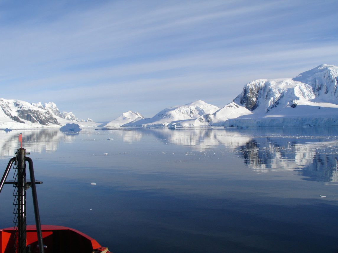
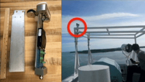
As one of the world’s major global sailing races, the Volvo Ocean Race greatly depends on accurate predictions of ocean currents and marine weather. All six of the Volvo Ocean Race teams will each deploy a drifter, a free-floating sensor that measures surface pressure and ocean currents and transmits the information by satellite to NOAA, during the fifth leg of the race, in the Southern Ocean – a region oceanographers don’t get to visit regularly, but one that is important to observe.

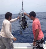
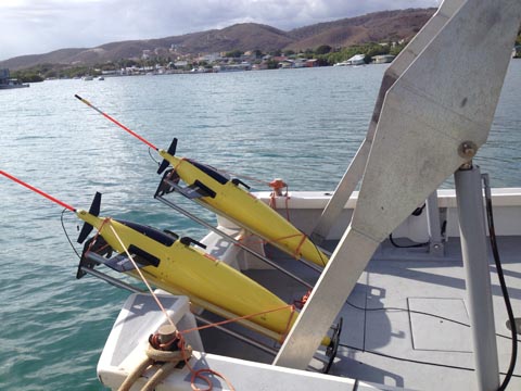 Two gliders ready for deployment from the R/V Sultana,
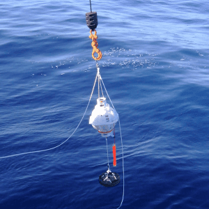
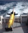
") A drifting buoy being deployed from the Bark Europa off South Africa (credit: NOAA/AOML).
A drifting buoy being deployed from the Bark Europa off South Africa (credit: NOAA/AOML).


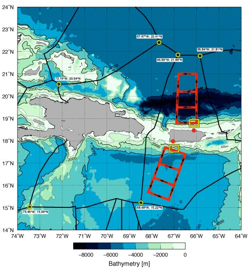
 Map of drifter trajectories in the North Atlantic. (credit: NOAA/AOML)


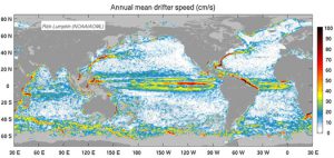 Using over 30 years of observations from satellite-tracked surface drifting buoys, NOAA oceanographers derived a global climatology of seasonally-varying ocean surface currents at one-half degree resolution. This data set can be used to better understand how the ocean transports properties like heat, salt, and passive tracers, and as a reference to study changes in ocean currents over time.