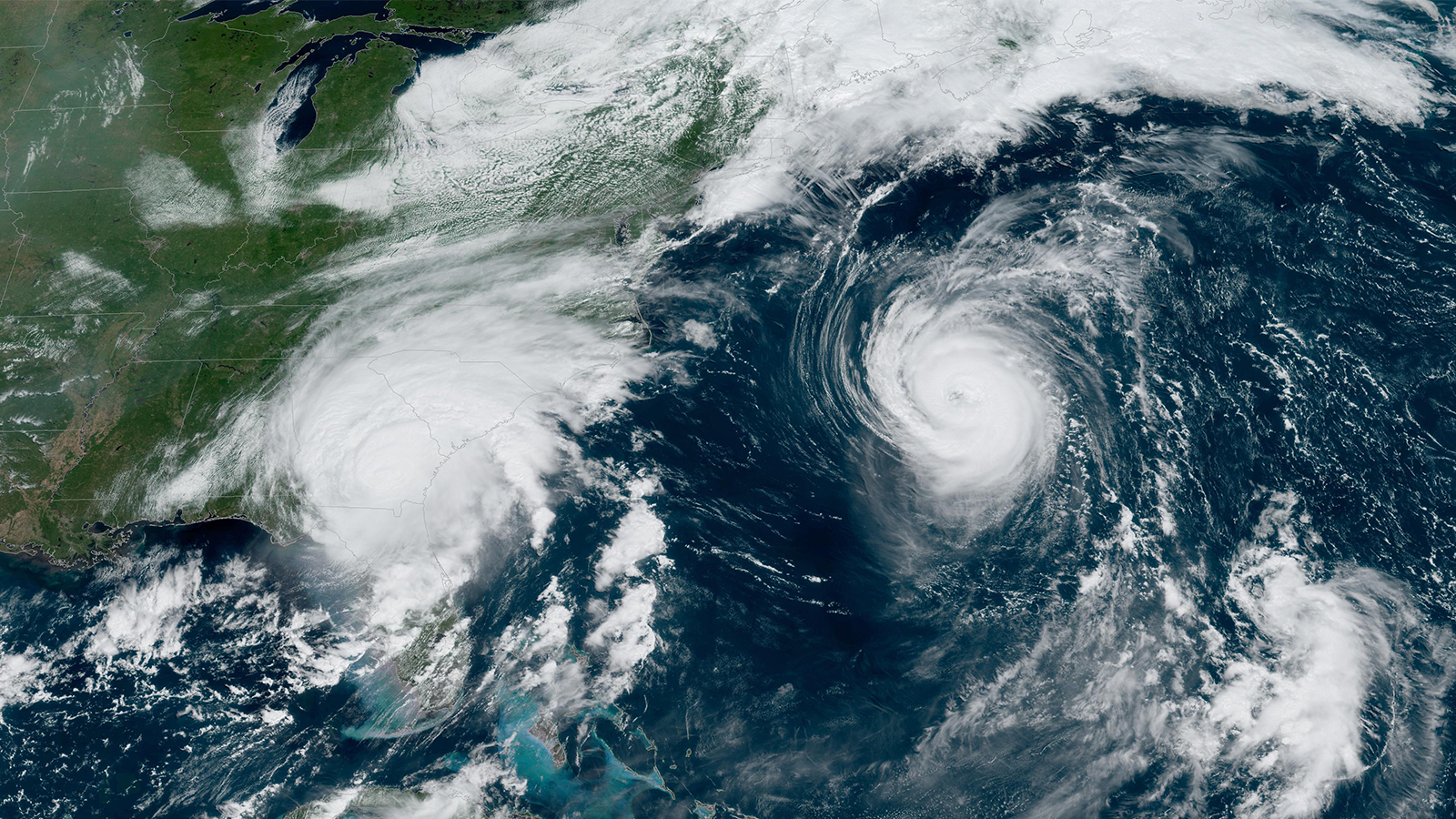

Recap of Hurricane Research in the 2023 Season
November 30th marks the official end to the 2023 Atlantic hurricane season. Scientists and forecasters from across NOAA pushed boundaries as they worked throughout this active season to conduct crucial tropical cyclone research that will strengthen our ability to forecast future tropical cyclone development and better protect those most affected.
“Our scientists have shown exceptional dedication to advancing new technologies and research this hurricane season, investing weeks of work to gather crucial data. Their efforts stand as a testament to NOAA’s commitment to safeguarding lives and properties,”
John Cortinas, Ph.D., Director of AOML.
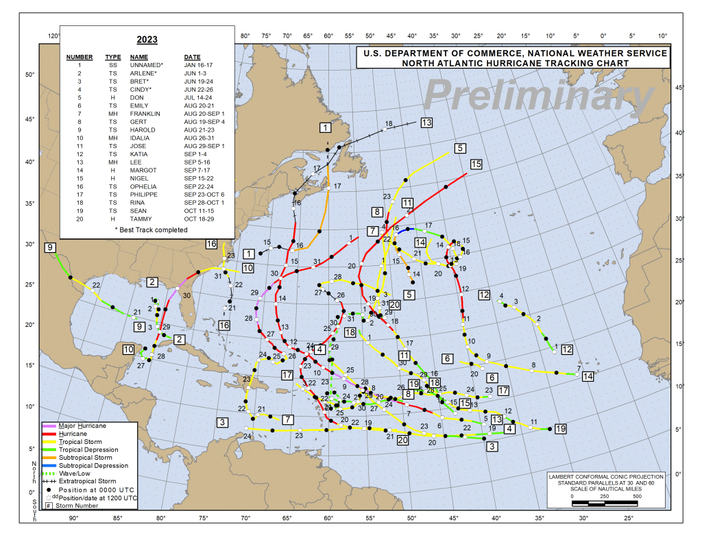
NOAA’s Atlantic Oceanographic & Meteorological Laboratory (AOML) and Aircraft Operations Center flew and supported 54 research and operational missions on NOAA Hurricane Hunter aircraft into 7 tropical disturbances, with five of those ultimately becoming hurricanes (sustained winds of 74 mph or higher) and three becoming major hurricanes (sustained winds of 111 mph or higher).
Research missions were conducted in partnership with NOAA’s Office of Marine and Aviation Operations (OMAO) and the Office of Naval Research’s rapid intensification and moisture and aerosol programs. Operational missions were requested by NOAA’s National Hurricane Center and Environmental Modeling Center to collect data and observations that are crucial for improving track and intensity forecasts. The crews provided 188 tail Doppler radar analyses, released 1274 dropsondes, and continued experimenting with new cutting-edge drone technologies.
Coordinated Efforts
In addition to sampling the atmosphere, collecting data on the ocean’s impact on storms is also critical. Throughout the season, AOML and partners operated eight underwater gliders in the tropical Atlantic basin that gathered temperature and salinity data to depths of 900 meters. NOAA also partnered with Saildrone, Inc. to deploy 12 saildrone unscrewed surface vehicles that collected observations from the air-sea interface. During their time at sea, the saildrones intercepted storms 19 times for a total of 144 hours in tropical storm conditions, providing near-real time data on pressure, wind speed, temperature, and more. The National Hurricane Center cited saildrone data in their forecast discussions 20 times in 2023.
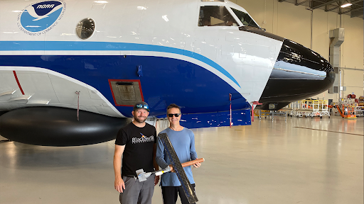
In mid October, NOAA hurricane researchers successfully deployed a new uncrewed aircraft system (UAS) into Tropical Storm Tammy (2023) to measure the lower atmosphere, a region of the storm too dangerous for humans to go. The Black Swift Technologies S0™ UAS was launched from NOAA’s Hurricane Hunter aircraft by scientists from AOML during missions into the storm as it strengthened and headed toward the Leeward Islands of the Caribbean.
The Hurricane Tammy research missions also resulted in the first successful coordination of the P-3 Orion Hurricane Hunter aircraft with an assortment of instruments, including Anduril’s Altius-600 UAS, a saildrone, dropsondes, and Airborne EXpendable BathyThermographs (AXBTs). Together, they collected vital data in the lower levels of the storm that have been historically too hard to sample. Data collected by the dropsondes were used to validate the wind speed, pressure, humidity, and sea surface temperature measured by the Altius 600, saildrone, and AXBTs. This information is critical for modeling and understanding situational awareness of storms.
These types of coordinated efforts were a primary focus of NOAA’s research endeavors throughout the hurricane season. The figure below highlights the orchestrated coordination among the array of instruments engaged during the 2023 hurricane season.
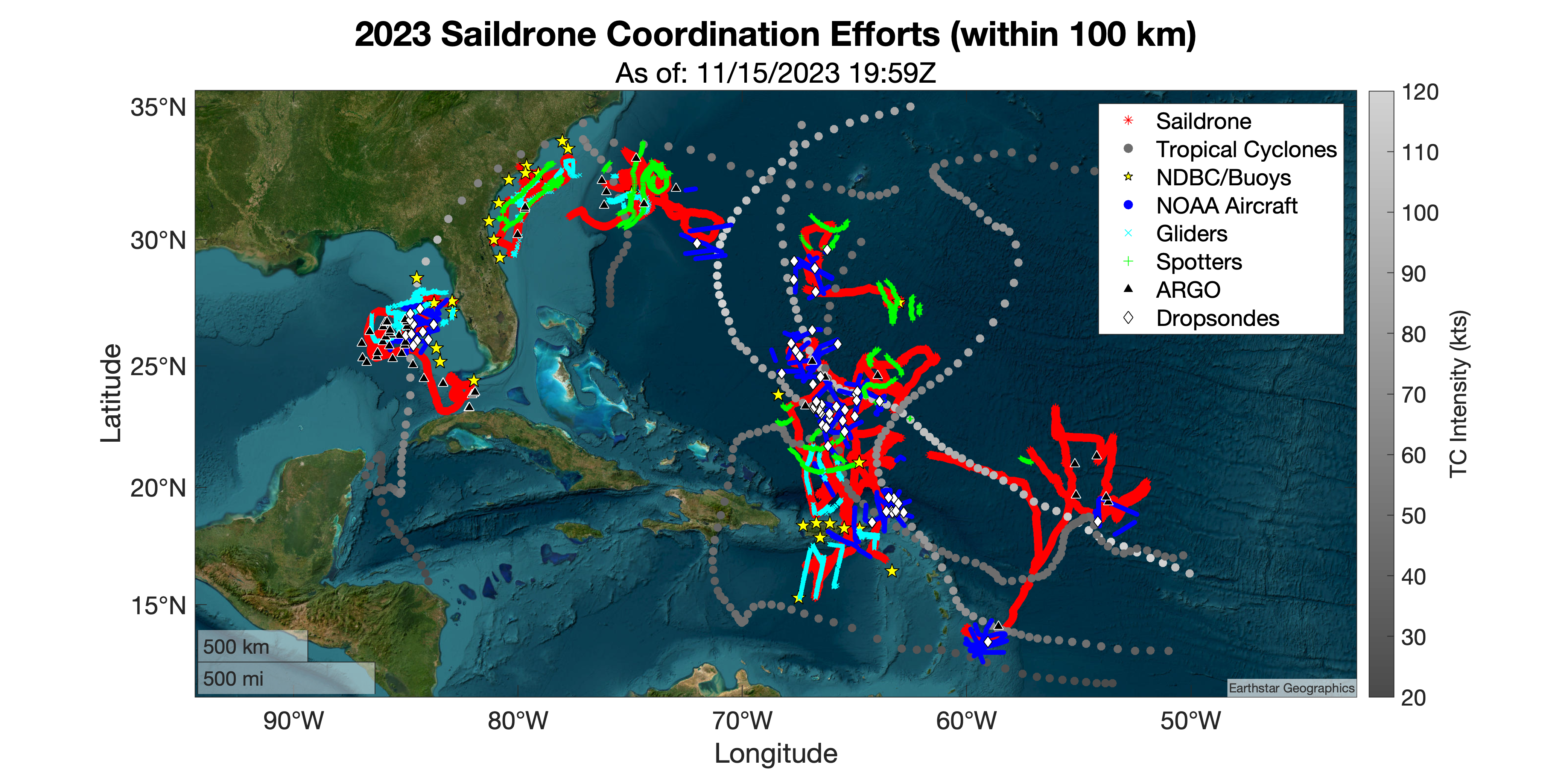
Red lines: 12 saildrone tracks. Gray circles: 6 intercepted tropical cyclone tracks, colored by intensity (see color bar on the right). Yellow stars: 33 moorings that co-collected data within 100 km of a saildrone. Blue circles: 37 NOAA aircraft collocated flight locations when within 100 km of a saildrone. Cyan markers: 22 gliders that co-collected data when within 100 km of a saildrone. Green markers: 12 spotter buoys that co-collected data when within 100 km of a saildrone. Black triangles: 54 Argo collocated profiles when within 100 km of a saildrone. White diamonds: 65 collocated dropsondes that splashed down within 100 km of a saildrone (including Air Force dropsondes that were submitted to the operational centers in real-time).
Scientists, crew members, and private industry partners planned and executed these intricate coordinated efforts to gather critical data from multiple levels of the atmosphere, down through the sea. New capabilities to gather data on air-sea interactions inside hurricanes provide data on storm dynamics that were previously unobtainable by scientists, allowing NOAA to continuously learn more about how storms form and intensify, with the ever-present goal of protecting lives and property.
The observations gathered throughout the season, from the upper atmosphere to the depths of the ocean, were incorporated into NOAA’s state-of-the-art analysis and forecast models to help those in the path of these storms better prepare and to help improve the understanding of tropical cyclone genesis, intensification, and dissipation.
System Modeling
This season, AOML’s hurricane researchers helped with the successful transition of a new hurricane model, the Hurricane Analysis and Forecast System (HAFS), into operations at NOAA’s National Weather Service, that is showing strength in predicting rapid intensification. Two versions of HAFS, called “HAFS-A” and “HAFS-B,” began producing operational forecasts for tropical cyclones across the globe on June 27, 2023 after four years of development in collaboration with NOAA’s Environmental Modeling Center. HAFS helped forecasters predict days in advance that Hurricane Idalia would impact the Gulf coast of Florida as a dangerous major hurricane. HAFS products were made available in real-time on the AOML Hurricane Model Viewer web site, providing situational awareness and guidance for Hurricane Hunter missions. AOML scientists also evaluated an advanced, experimental version of HAFS as part of the Hurricane Forecast Improvement Program’s Real-time Experiment (HREx). The research will be considered in the next HAFS upgrade to version 2, expected next year.
~
The dedicated scientists, flight crews, and staff that supported the 2023 Hurricane Field Program spent weeks of long hours working diligently to gather data that will advance our understanding of storms and improve forecasts, with the ever present goal of protecting lives and property. For more information on the NOAA-wide efforts throughout the season, please visit: 2023 Atlantic hurricane season ranks 4th for most-named storms in a year. See below for a glimpse of AOML research by the numbers:
2023 Season By the Numbers
Tropical cyclones and tropical disturbances studied: 7
Research and operational missions: 54
Lockheed WP-3D (P-3) Orion missions: 37
Gulfstream IV-SP (G-IV) missions: 17
Dropsondes released: 1273
APHEX P-3 Research Experiments and Modules conducted: 14
Bathythermographs (AXBTs) released: 90
Small Uncrewed Aircraft Systems (sUAS) deployed from the NOAA P-3s: 5
Tail Doppler Radar analyses transmitted to EMC and NHC: 188
StreamSondes deployed from the NOAA P-3s: 12
Gliders deployed: 8 operated by AOML
A-Sized Wave Drifters deployed from the NOAA P-3s: 5
Saildrone Numbers
Saildrones deployed: 12
Unique Saildrone-TC Intercepts: 19
Tropical Cyclones intercepted: 6
Total distance traveled for the 2023 mission: Over 42,600 miles
Days spent in TS Sustained Winds (~3m): 6Hours spend in 50+ kt sustained winds (~3m): 18
Days spent in TS force gusts (~3m): 12
Days spent in 50+ kt gusts (~3m): 3
Hours spent in HU force gusts (~3m): 17
NHC Advisories Citing Saildrone data: 20
Dropsondes splashing down within 50 km of saildrone: 24
SAR (high-res satellite derived wind images)-SD Tropical Cyclone comparisons: 35
NOAA Fly-overs of a saildrone: 12
Days spent within 50 km of a spotter buoy: 82
Days spent within 10 km of a moored buoy: 103
Glider profiles within 10 km of a saildrone: 1544
Argo profiles within 100 km of a saildrone: 54