
Research Themes
Featured Projects


More Research Projects
")
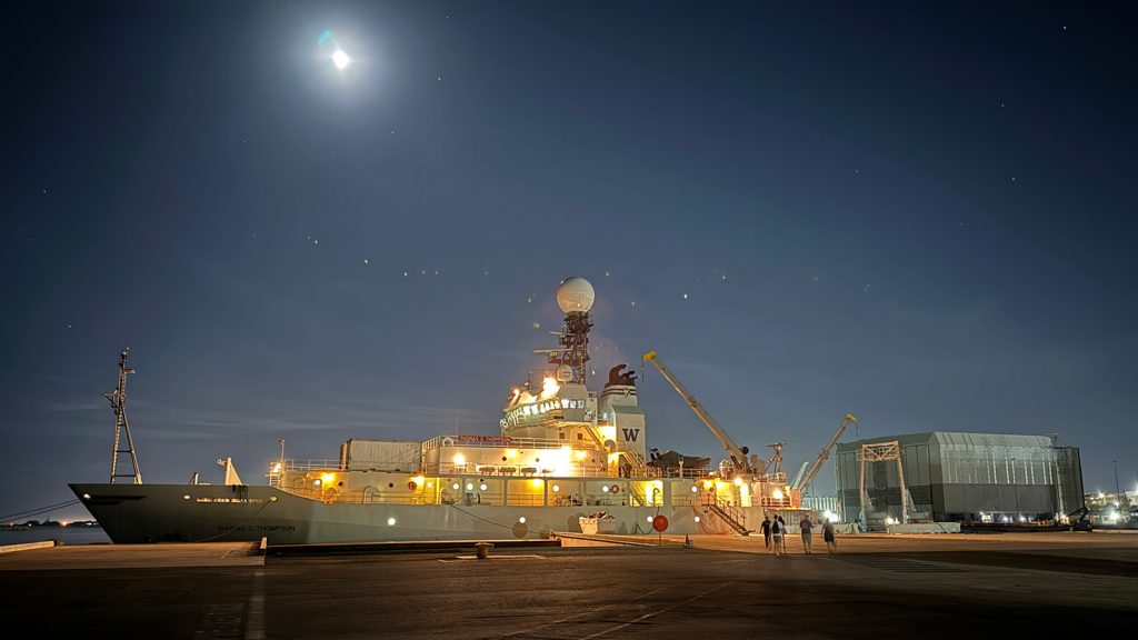
Saildrone

South Atlantic Meridional Overturning Circulation (SAMOC)

Southwest Meridional Overturning Circulation (SAM)
Featured Projects


More PHOD Research Projects
Featured Publications

Aristizábal Vargas, M.F., H.-S. Kim, M. Le Henaff, T. Miles, S. Glenn, and G. Goni, 2024: Evaluation of the ocean component on different coupled hurricane forecasting models using upper-ocean metrics relevant to air-sea heat fluxes during Hurricane Dorian (2019). Frontiers in Marine Science, 12:1342390.
Bilo, T., R.C. Perez, S. Dong, W. Johns, and T. Kanzow. Weakening of the Atlantic Meridional Overturning Circulation abyssal limb in the North Atlantic. Nature Geoscience.
Campos, E.J.D., C.B. Rocha, M. Goes, S. Dong, H. Lopez, and G.J. Goni, 2024: A deep learning approach to estimate ocean salinity with data sampled with expendable bathythermographs. Applied Ocean Research, 148:103997.
Pita, I., M. Goes, D.L. Volkov, S. Dong, G. Goni, and M. Cirano, 2024: An Argo and XBT observing system for the Atlantic Meridional Overturning Circulation and meridional heat transport (AXMOC) at 22.5°S. Journal of Geophysical Research-Oceans, 129(1):e2023JC020010.
Recent News
-revised")


Recent News
Recent News
Project Highlight
Saildrone
For the third year, NOAA and Saildrone Inc. will deploy Saildrones, uncrewed surface ocean observation platforms powered by solar, wind and wave energy, to track Atlantic hurricanes. These robots provide information about the ocean and atmosphere, including sea surface temperature, salinity, surface air temperature, humidity, pressure, wind direction and speed, and wave height. Twelve saildrones, more than ever before, will be on patrol this summer in the Atlantic Ocean, Caribbean and Gulf of Mexico, with several providing collocated observations alongside underwater gliders.
To learn more about the partnership between Saildrone Inc. and NOAA, click the button below.

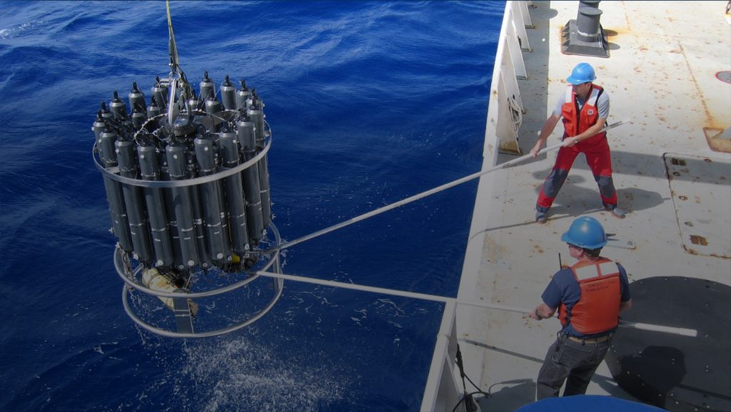
Physical Oceanography Data
Data from buoys, satellites, and instruments on the sea floor can be accessed on our Data page or by clicking the links below.
Argo Data: Broad-scale global array of temperature and salinity profiling floats.
Satellite Data: Sea height anomaly, sea surface and water column temperature, and surface currents.
Global Drifter Data: Global surface currents, drifter-derived climatology, and seasonal current animations.
State of the Observing System Data: The State of the Ocean Observing System is our evaluation of how well essential ocean and climate variables are being measured.
XBT Data: Temperature, structure, and time-dependent ocean properties of the Atlantic Subtropical Gyre.
Florida Current Transport Time Series: Submerged cables provide voltage differential to measure daily transport
Science Seminars
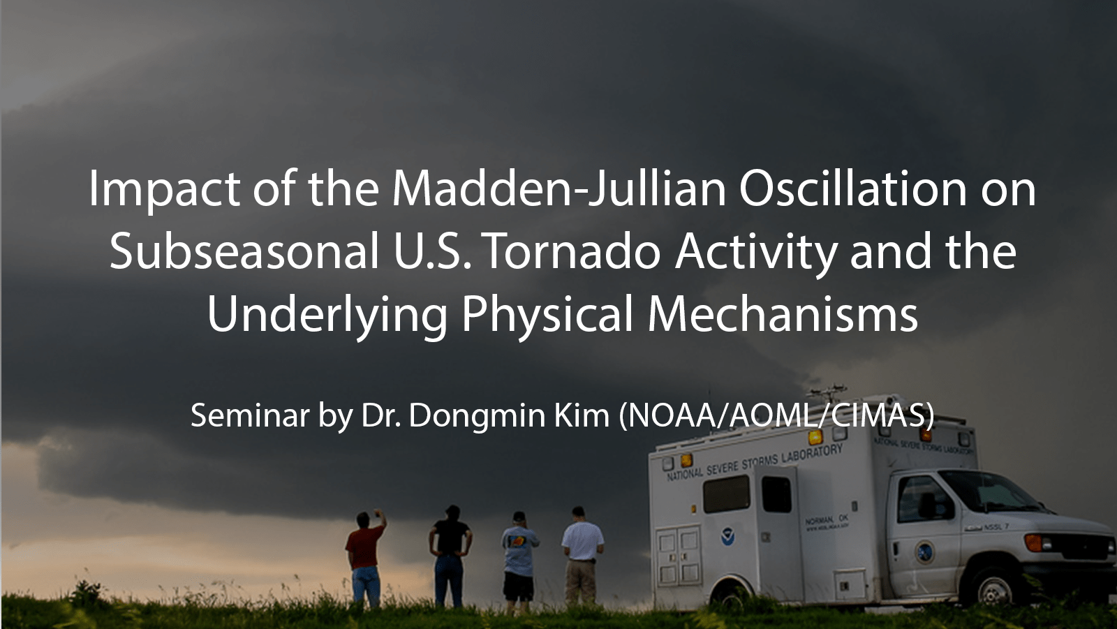
The Physical Oceanography Division at AOML hosts seminars to share its latest work and strengthen collaborations for an Earth Systems approach to research. Watch seminars from previous years on Youtube.
Upcoming Seminars
There are no upcoming seminars at this time.
Contact

| Rick Lumpkin, Ph.D.
Director, Physical Oceanography Division
| Renellys Perez, Ph. D.
Deputy Director, Physical Oceanography Division