Atlantic 3
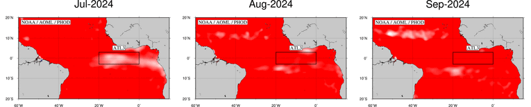
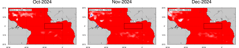
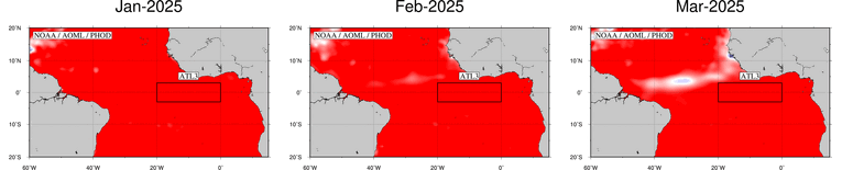
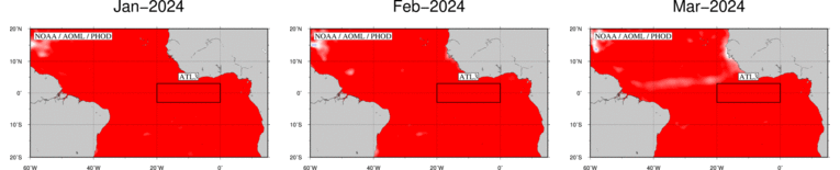
Sea Height Anomaly (SHA) Evolution in the Atlantic 3
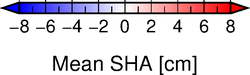
The figures below represent the monthly SHA in the atlantic 3 region during the last twelve months. Each figure shows the mean SHA for the specific month. Click on each map to see a larger figure. Click here to see the animation of this evolution.
)
These maps are updated monthly.
Please refer to this link for data, products and results aknowledgement and distribution.