Subsurface float data
Version number: 2.0. Created on: 12 December 2017. Most recent data included: 6 October 2015
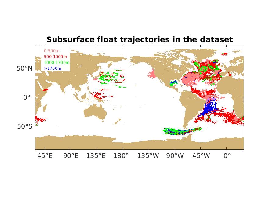
On this page, you will find a compiled data set of RAFOS and SOFAR subsurface float data downloaded from the WOCE Subsurface Float Data Assembly Center (WFDAC) in Woods Hole maintained by Andree Ramsey and Heather Furey and copied to NOAA/AOML in October 2014 (version 1) and in December 2017 (version 2). Subsequent updates will be included as additional appropriate float data, quality controlled by the appropriate principal investigators, is submitted for inclusion.
The data set is available in Matlab binary format. Contact us if you would like the data in a different format. The accompanying Readme file explains the variables in the file and documents changes from version 1.0. There is also a PDF map showing all experiments in the data base and a file containing additional information on experiments, principal investigators, and organizations responsible for collecting the subsurface float trajectory data.