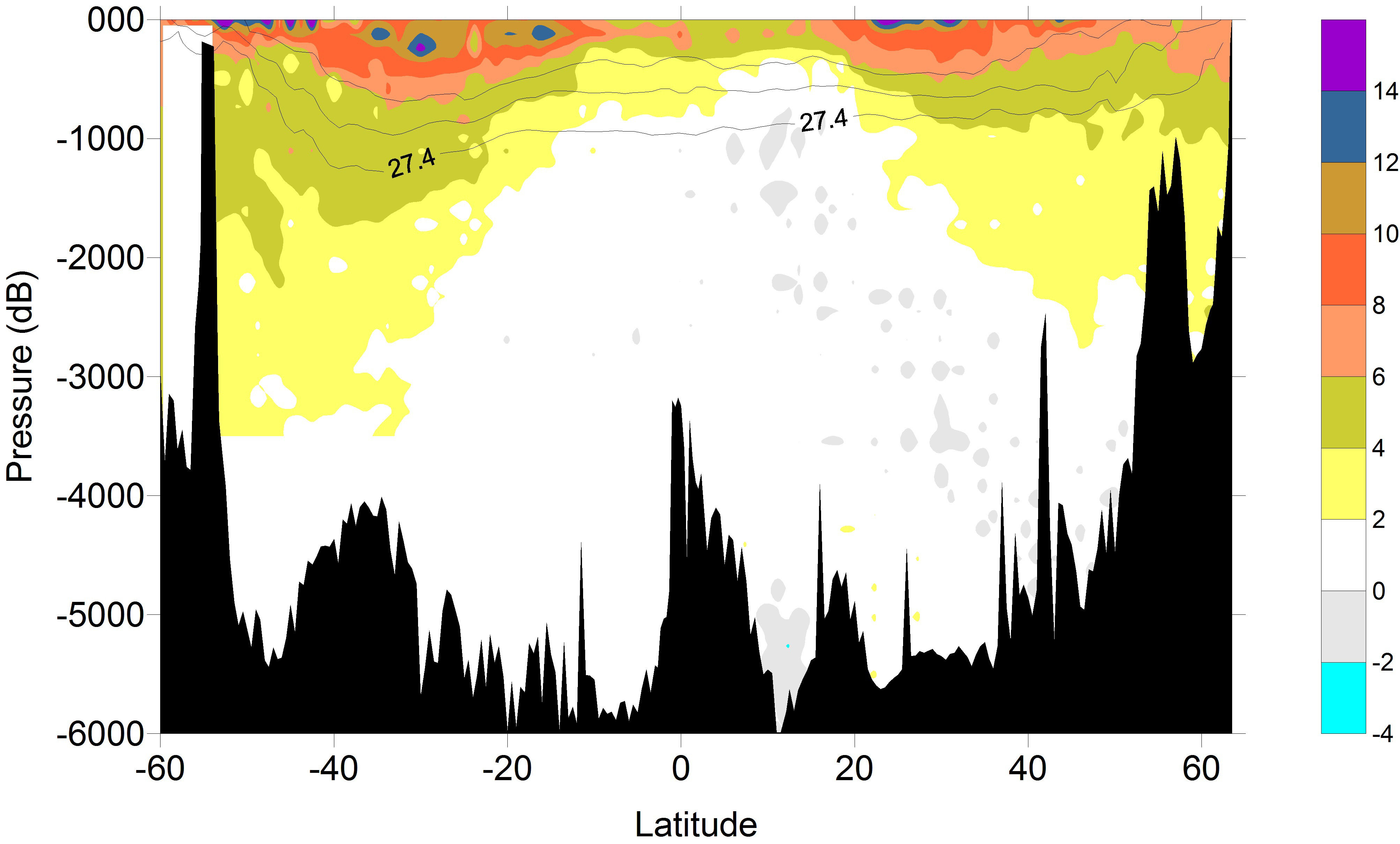
Gridded and mapped data Caribbean
Rik Wanninkhof

The International Global Ocean Ship-based Hydrographic Investigations Program (GOSHIP, http://www.go-ship.org/) is a multi-disciplinary international program that occupies selected trans-basin sections on decadal timescales to document changes in heat, fresh water, carbon, nutrients, oxygen, and trace gases in the ocean. The work is executed in each major ocean basin by NOAA and NSF funded-investigators using NOAA and UNOLS vessels. Ship-based hydrography remains the only method for obtaining high-quality, high spatial, and vertical resolution measurements of a suite of physical, chemical, and biological parameters over the full water column. The foci are to quantify increases in anthropogenic carbon content and natural and climate induced changes in chemical and hydrographic features in the ocean to determine:
Major discoveries to date have been the accurate determining of heating of bottom water and a small increase of carbon in the deep ocean. The program has also quantified increases of CO2 in surface and intermediate water and its effect on ocean acidification A key aspect of the program is the open and rapid dissemination of data for utilization by the community at large. Program details can be found at www.go-ship.org and datasets are available at: CLIVAR and Carbon Hydrographic Data Office (CCHDO) and Ocean Carbon and Acidification Data System (OCADS). |
Data & Logistics for GO-SHIP Cruises (AOML led)
| A13.5 (2024) |
| A16N (2023) |
| A13.5 (2022) |
| A13.5-Truncated (2020) |
| IO7N (2018) |
| I08S/I09N (2016) |
| A16S (2014) |
| A16N (2013) |
| A10 (2011) |
| A13.5 (2010) |