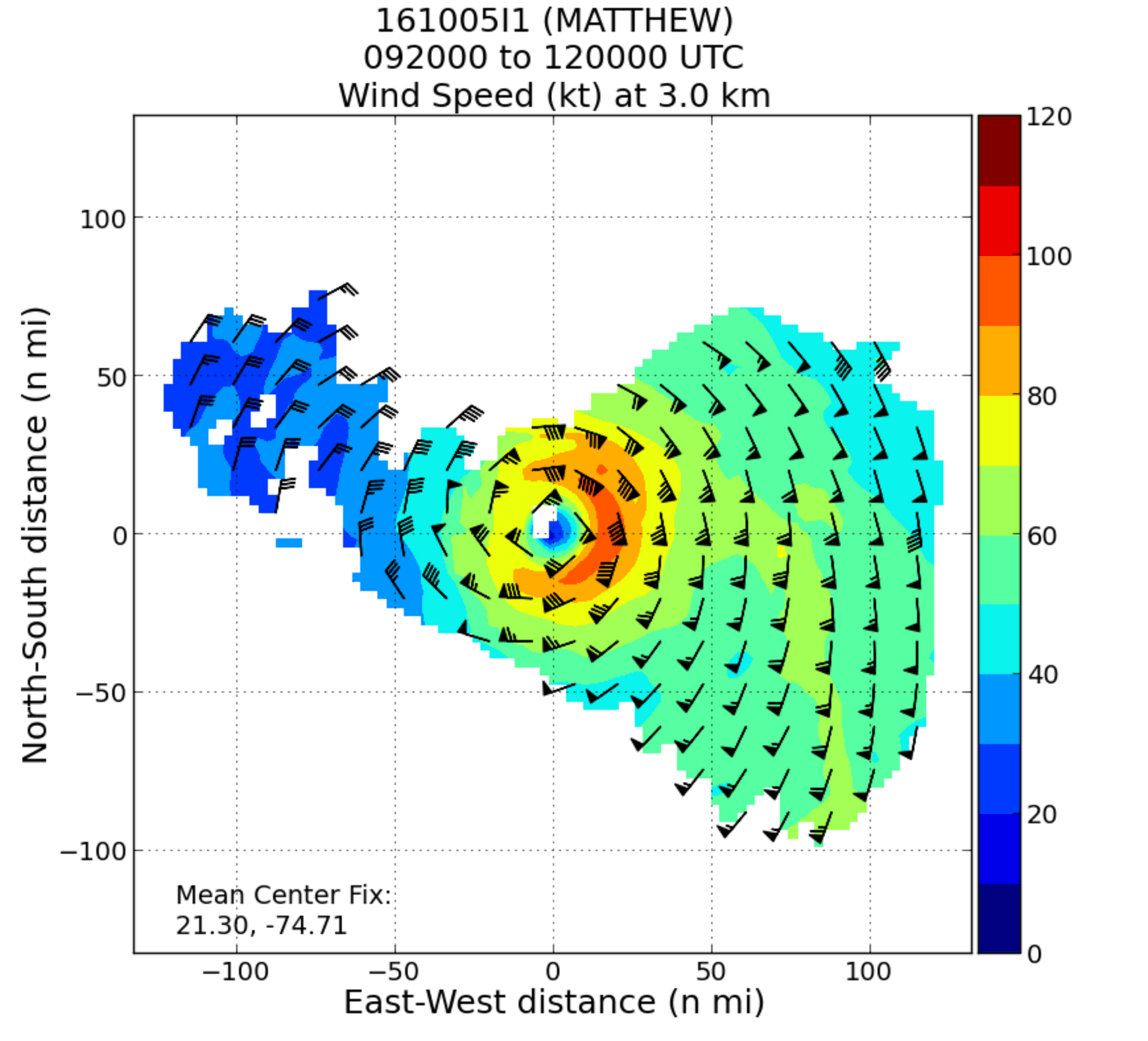
NOAA’s hurricane hunter aircraft carry a unique radar that measures wind in hurricanes where there is rain. Located in the tail of the aircraft and known as the Tail Doppler Radar, this instrument produces images that can provide detailed pictures scientists use to study storm structure and changes. Scientists can also piece together wind speed information gathered over the course of a flight to paint a complete picture of the wind speed in the regions of the storm where the aircraft flies.
Through the Eyewall – My Experience with the NOAA Hurricane Hunters
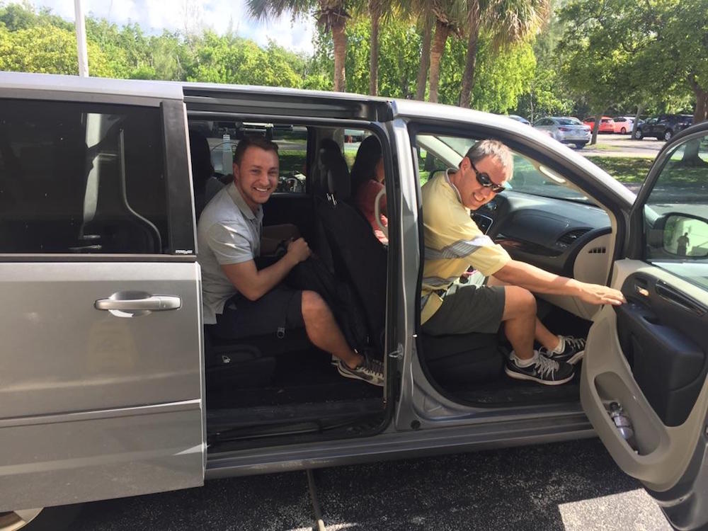
There aren’t many people who can say they have flown directly into a hurricane, but on October 5, 2016, I had a very unique opportunity to fly into Hurricane Matthew with NOAA’s Hurricane Hunters. Matthew was quickly moving across the Atlantic Ocean, and each new forecast moved it closer to the East Coast of Florida. With the high potential for hurricane watches and warnings, NOAA started preparations for routine flight operations.