IFEX daily log
Thursday, July 21, 2005
It was learned today that the earliest the N43RF could deploy to Acapulco would
be Saturday. In the meantime both P-3's would remain in Tampa. No ER-2 flights are
planned for today.
Several possible features of interest are evident today. First, the area north of
Hispaniola has shown rotation and deep convection. It was anticipated that it would be
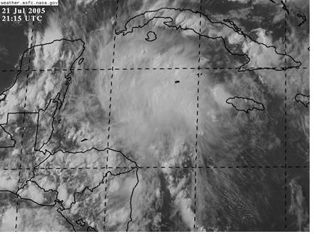
declared a depression by the 5 PM NHC advisory. Second, an area of deep convection
had exploded over the western Caribbean (Fig. 15). This convection appeared to be
enhanced by upper-level diffluence associated with the retrograding upper-level cold low
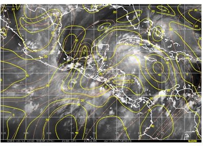 mentioned previously. Shear was moderate (about 20 kt) over the region(Fig. 16), and.
there was an indication of an anticyclone over the area. Concurrent visible imagery (Fig.
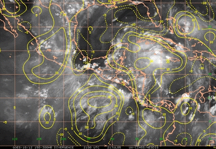
17) indicated banding features possibly indicative of midlevel rotation. The striations in
the cirrus shield indicated healthy outflow in all quadrants except perhaps the southwest
mentioned previously. Shear was moderate (about 20 kt) over the region(Fig. 16), and.
there was an indication of an anticyclone over the area. Concurrent visible imagery (Fig.
17) indicated banding features possibly indicative of midlevel rotation. The striations in
the cirrus shield indicated healthy outflow in all quadrants except perhaps the southwest
 quadrant. This is supported by the upper-level divergence field (Fig. 18). These features
led this system to be considered as a possible target for operations during the upcoming
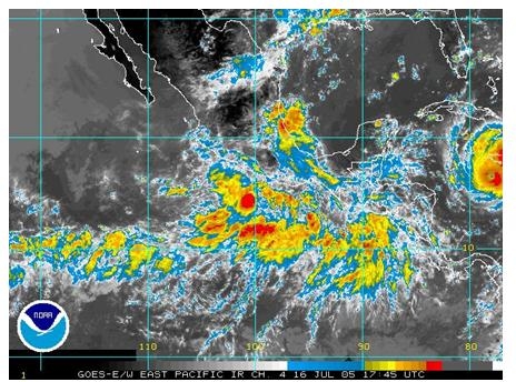
days. In the East Pacific, there is some convection oriented in an east-west line along
quadrant. This is supported by the upper-level divergence field (Fig. 18). These features
led this system to be considered as a possible target for operations during the upcoming
days. In the East Pacific, there is some convection oriented in an east-west line along
 about 10 N. The pattern is very similar to that flown the previous week, and it is not
believed that this feature is a viable target. For these reasons, it was decided to target the
system in the western Caribbean.
about 10 N. The pattern is very similar to that flown the previous week, and it is not
believed that this feature is a viable target. For these reasons, it was decided to target the
system in the western Caribbean.
Rob Rogers
HRD Field Program director
Return to IFEX calendar page


![[OAR/DOC/NOAA Logos]](../../oar_noaa_doc_logos3.jpg)