Use of Argo data
Profiling float data have an enormous range of applications. The more distinctive categories for Argo data use are : Educational, Operational, and Research.
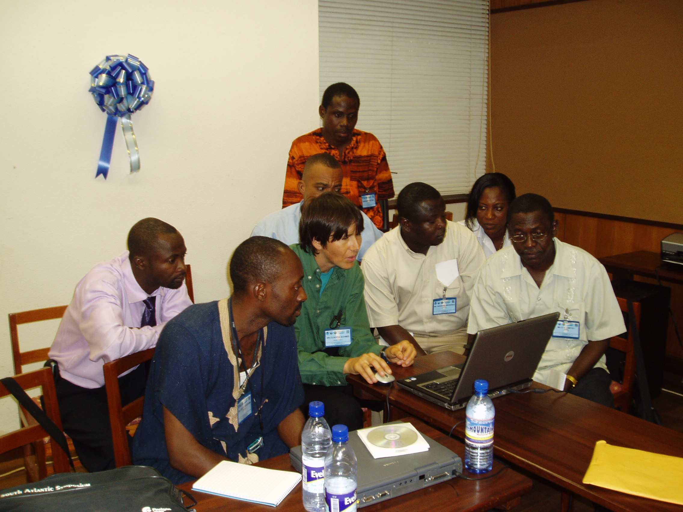
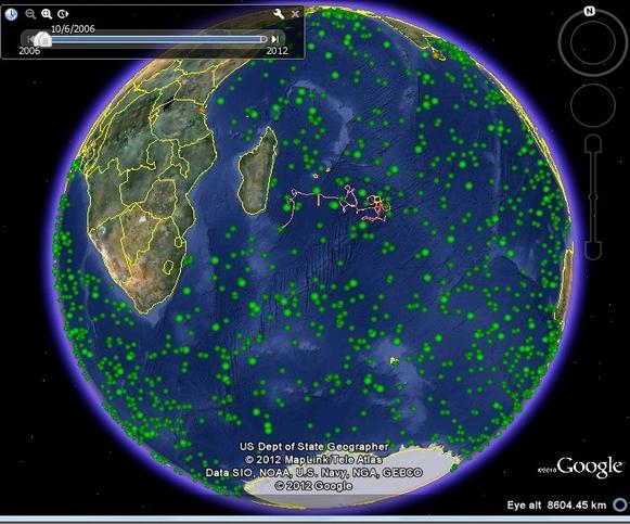
With over 3200 floats reporting free, easy to access data every 10 days, Argo provides a relevant, global ocean data set. The temperature, salinity and velocity data from Argo can teach everything from basic concepts, like the temperature of the ocean and how to read graphs, to more complicated ones like analyzing ocean data over time and climate change issues. A classic approach is developing educational material for classroom use. The target audience for this category is large, encompassing students of all ages (kindergarten through university level). The goal is to have material for all levels. Some materials need computers and internet access, while others do not. Thus, all teachers, no matter their resources, can use Argo data in their classroom. Another approach taken is outreach workshops. These workshops target the scientific community. Scientists who want to learn more about how to obtain, map, and analyze Argo data are invited to participate. Workshops are organized by groups associated with Argo to address the differing needs generated by the multitude of users around the world. User-friendly online resources, such as in Google Earth and Wikipedia, are developed which allow the public, in general, to educate themselves about Argo.
The operational uses are based on the existence of many centers around the world that use Argo data to produce global and regional analyses of subsurface properties because Argo is the most abundant source of subsurface information, (temperature, salinity, velocity) for the global ocean. The availability of these data in real time lends them to use by operational centers involved in the analysis and forecasting of the state of the ocean for weather and climate.
The Argo data is used by the international scientific community. With over 3200 floats reporting and more than 10,000 profiles per month being delivered from the Argo array, never before have oceanographers and climate scientists had such a comprehensive subsurface ocean data available for research. Data is assimilated into weather forecast models to improve prediction. More that 200 research papers per year are now being published using Argo data covering a broad range of topics including water mass properties and formation, air-sea interaction, ocean circulation, mesoscale eddies, ocean dynamics and seasonal-to-decadal variability. For further information you can consult Bibliography here.