
Read the press release at NOAA.gov
AOML’s Hurricane Modeling Group was founded in 2007 to advance hurricane forecast models through development and targeted research. From inception, the team has worked to improve NOAA’s hurricane modeling systems; first with the legacy Hurricane Weather Research Forecast (HWRF) model, and now with its transition to the next generation model, Hurricane Analysis and Forecast System (HAFS).
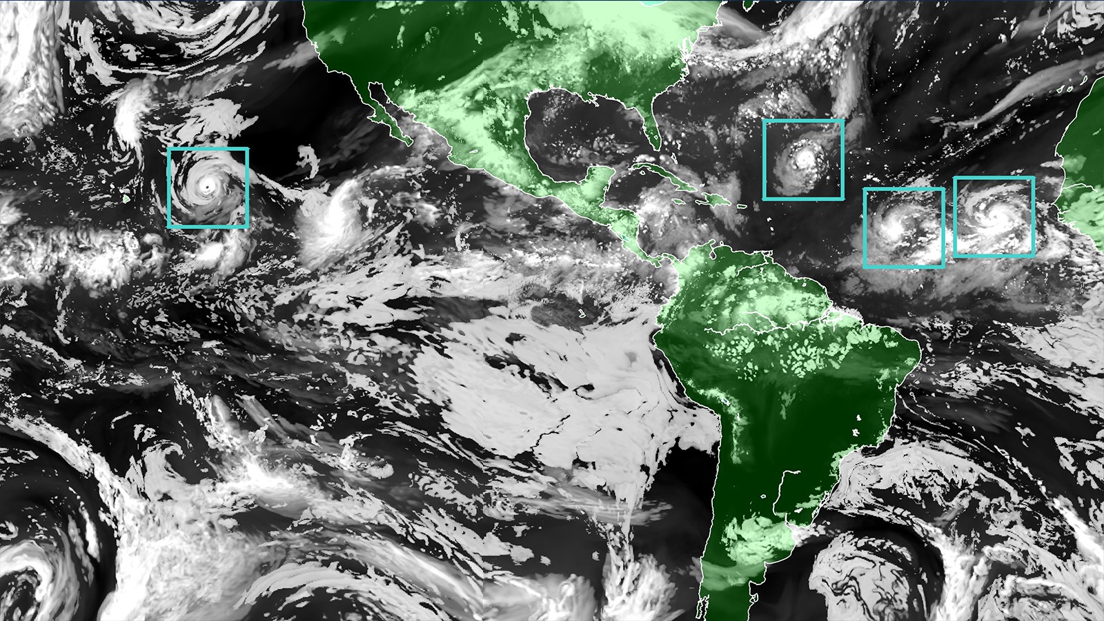
HAFS is NOAA’s new multi-scale numerical model and data assimilation package, which will provide operational analysis and forecast out to seven days. HAFS will provide reliable and skillful guidance on Tropical Cyclone (TC) track and intensity (including RI), storm size, genesis, storm surge, rainfall, and tornadoes associated with TCs. This next generation hurricane forecast model builds on the world class multiple moving nest skills developed by the Hurricane Forecast Improvement Program (HFIP) utilizing the Hurricane Weather Research and Forecasting (HWRF) model.
HAFS was jointly created by AOML’s Hurricane Modeling and Prediction Program and NOAA’s National Weather Service Environmental Modeling Center (EMC) in collaboration with the Geophysical Fluid Dynamics Laboratory (GFDL) and NOAA’s Cooperative Institute for Marine & Atmospheric Studies at the University of Miami. A major component of the physics used to represent the boundary layer relies on observations from NOAA Hurricane Hunter P-3 aircraft. The testing and evaluation was jointly done by EMC and AOML. HAFS was created to aid forecasters with better tools and model products for providing guidance.Consequently, the forecasters at National Hurricane Center were involved from the developmental stages of the model all the way to its evaluation and implementation. HAFS, which is part of the Unified Forecast System, is also a great example of community-based collaboration on model development and the streamlining of the operational transition process.
The transition from HWRF to HAFS will allow for higher-resolution forecast information both over land and ocean that can save lives and protect property. HAFS’s moving nest component is what makes this system unique; it allows the model to zoom in on hurricanes across the Atlantic and Pacific basins. As the HAFS model is used over time, it has the potential to track multiple hurricanes at once, which has been shown to improve the accuracy of our forecasts.
During this year’s hurricane season (2023), HAFS will be running alongside the older models, Hurricane Weather Research and Forecast System (HWRF) and the Hurricane in a Multi-scale Ocean-coupled Non-hydrostatic Model (HMON), to fully complete the transition. The NOAA/AOML Hurricane Modeling & Prediction Program will continue to advance the HAFS model in the coming years to further strengthen the model and forecast.