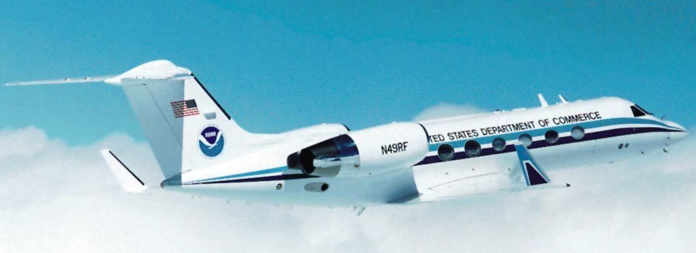
The 2000 Hurricane Field Program is the third year of a renewed effort to unravel the mysteries of these devastating storms under a multi-agency (DoD, NASA, NOAA, and NSF) effort over the next 5-6 years, the U.S. Weather Research Program (USWRP). USWRP is focused on the meteorological research community's contribution to the reduction in the impacts of disastrous weather on the nation, in particular hurricane landfall. An important national priority under the USWRP is to improve the forecasts of surface wind intensity, structure and storm surge in landfalling hurricanes in order to mitigate problems associated with these storms. A major source of difficulty in the past has been the inability to measure surface winds directly, and our inability to predict how it changes in response to external and internal forcing.
Several dramatic cases occurred in recent years suggesting a strong role of air-sea interaction processes on hurricane intensity change. Many of these cases occurred within 24 h of landfall where intensity change forecasts are especially critical. In 1992 Hurricane Andrew gained strength as it passed over the Gulf Stream just before landfall in South Florida. While in 1995 Hurricane Opal intensified rapidly as it moved over a warm eddy in the Gulf of Mexico, then rapidly weakened as it moved over colder shelf water. Over half of the 32 storms that occurred in 1995 and 1996 had significant intensity changes when crossing sea surface temperature (SST) boundaries, either preexisting or created by previous storms.
This season we will focus on the relationship between hurricane intensity change and changes in the underlying SST caused by the storm winds. In particular, storm interactions with 3 types of ocean features will be examined:
Direct linkages between hurricane intensity change and observed air-sea changes have been difficult to make since many storms are influenced by atmospheric circulations. In addition, detailed oceanographic and atmospheric observations are generally lacking. Thus, the primary goal of this study is to establish the link between changes in air-sea interaction processes brought about by changes in oceanic features and changes in the storm surface winds. To overcome these past difficulties, a mobile observing strategy comprised of air-deployed surface and subsurface probes and airborne remote sensors directly measuring the surface winds.
These experiments seek to measure the surface wind field and upper ocean structure using NOAA WP-3D aircraft flights during 4 time periods:

