
NOAA’s Global Drifter Program is a globally collaborative research project that provides near real-time marine data for the world. It allows us to record data for weather forecasts, track decadal patterns, and pinpoint inter-annual climate variations like El Nino Southern Oscillation. Global drifters provide observational verification for weather models, calibrate satellite observations, and collect and transfer new data about the ocean temperature, currents and barometric pressure.
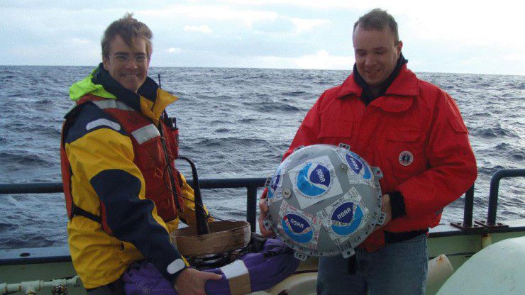
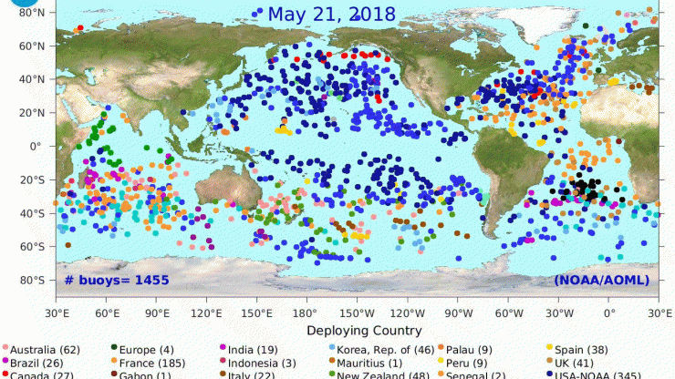
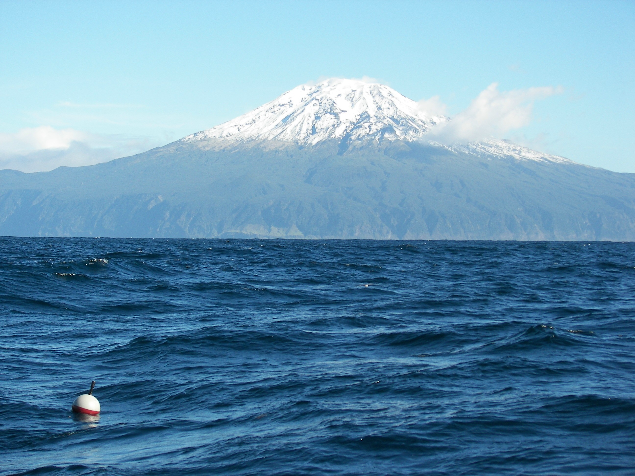
A drifter has a sphere at the ocean surface, and a 10-meter-long drogue at the bottom which acts like an underwater anchor. After deployment, a drifter can move with ocean surface currents and transmit data for about 450 days. To date, there have been over 25,000 drifters deployed with a long-running data set from 1979. Currently there are 1,436 drifters sending active data from all over the world. This dataset from drifters provides a global picture of ocean circulation patterns, a record of changes over time, and information on heat distribution from the equator to the poles (which influences weather).
AOML partners with organizations and countries to maintain the global distribution, including: the US Navy and Coast Guard, Semester at Sea, commercial cargo vessels, Blue Ocean Odyssey, The Joint Commission for Oceanographic and Metrologic Measurements (JCOMM), the Data Buoy Cooperation Panel, the Volvo Ocean Race, and the meteorological organizations of Australia, South Africa, New Zealand, and the European Union.
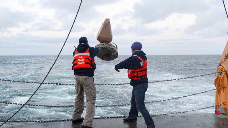
The Volvo Ocean Race recently contributed valuable deployments outside the usual shipping lanes, in the Southern Ocean where ships do not regularly travel. Opportunistic drifter deployments with partners build a strong operational foundation without the usual cost associated for such a project. It provides its participants with education, citizen science opportunity, and better weather forecasts.
The drifters are self-activated which means that once they hit the water, data collection begins. AOML’s Drifter Operations Center created a map that shows the desired deployment locations, so our partnering vessels can choose the places most convenient for their schedule.
AOML also partners to improve engineering and manufacturing. Drifters are engineered at Scripps Institute of Oceanography and improved with new technology and design. Scripps designed a new attachment mechanism to prevent the drogue from detaching, providing more reliable current data. Scripps has also developed and is now field testing a drifter that measures the wave spectrum. These Directional Wave Spectrum Drifters could measure wave patterns from storms including hurricanes to determine wave impacts and improve wave height warnings for mariners.
Drifters provide accurate data for weather models. Studies show that drifter observations significantly improve weather forecasts and help predict rapid storm intensification. Drifters collect ocean measurements and transmit the data to the Global Telecommunications System to be distributed as free data for use in forecasts. The real value in this drifter program is two-fold: data improves the safety and wellness of our coastal communities and mariners by improving forecasts, and it provides a long-term data set of ocean dynamics so we can understand, predict, and plan for the future. If you are interested in becoming a partnering organization contact Dr. Rick Lumpkin.