Atlantic Oceanographic & Meteorological Laboratory Global Carbon Cycle
« GCC Home
R/V Brown Data:

» Introduction
» CruiseTracks
» Realtime Display
» Cruise Inventory
» Annual Files
» Contact
» Internal QC Plots » Ron Brown Homepage
» Ron Brown Schedule Page

Ongoing R/V Brown Data » 2005 Data

New Data File Format!

Click cruise track to view full size.
A map showing the track of the CLIVAR A16S transit leg from Valparaiso to Punta Arenas, Chile.
RB-05-01A
CLIVAR A16S Transit Leg A
12/29/2004-01/05/2005
» CSV Data File
» Readme File
A map showing the track of the CLIVAR A16S cruise from Punta Arenas, Chile to Fortaleza, Brazil.
RB-05-01B
CLIVAR A16S
01/11-02/22/2005
» CSV Data File
» Readme File
A map showing the track of the CLIVAR A16S transit leg from Fortaleza, Brazil to Bridgetown, Barbados.
RB-05-01C
CLIVAR A16S Transit Leg C
03/01-03/05/2005
» CSV Data File
» Readme File
A map showing the track of the Plueddemann Moorings cruise from Bridgetown, Barbados to Charleston, S.C.
RB-05-02
Plueddemann Moorings
03/10-03/18/2005
» CSV Data File
» Readme File
A map showing the track of the Sea Beam Patch Testing cruise from Charleston, S.C. to Woods Hole, MA.
RB-05-03SB
Sea Beam Patch Testing
07/12-07/15/2005
» CSV Data File
» Readme File
A map showing the track of the Ocean Explorations Lost City cruise from Woods Hole, MA to Ponta Delgada, Azores.
RB-05-03A
Ocean Explorations Lost City
07/18-08/03/2005
» CSV Data File
» Readme File
A map showing the track of the Ocean Explorations Stepping Stone cruise from Ponta Delgada, Azores to Woods Hole, MA.
RB-05-03B
Ocean Explorations Stepping Stone
08/10-09/03/2005
» CSV Data File
» Readme File
A map showing the track of the Ocean Explorations Transit cruise from Woods Hole, MA to Charleston, S.C.
RB-05-03T
Ocean Explorations Transit
09/06-09/09/2005
» CSV Data File
» Readme File
A map showing the track of the Western Boundary Time Series cruise from Charleston, S.C. to Miami, FL.
RB-05-04
Western Boundary Time Series
09/11-09/24/2005
» CSV Data File
» Readme File
A map showing the track of the Stratus Mooring cruise from Rodman, Panama to Arica, Chile.
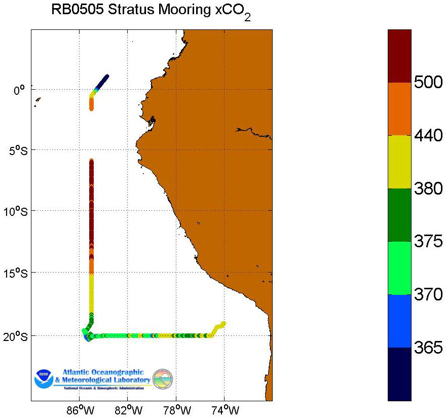
RB-05-05
Stratus Mooring Cruise
10/04-10/20/2005
» CSV Data File
» Readme File
A map showing the track of the TAO cruise from Arica, Chile to Rodman, Panama.
RB-05-06
TAO Cruise
10/27 - 11/25/2005
» CSV Data File
» Readme File

Department Logos
US Department of Commerce Logo Office of Oceanic and Atmospheric Research Logo Atlantic Oceanographic and Meteorological Laboratory Logo National Oceanic and Atmospheric Administration Logo US Department of Commerce National Oceanic and Atmospheric Administration Office of Oceanic and Atmospheric Research Atlantic Oceanographic and Meteorological Laboratory