Mission Summary
20031207I1 Aircraft 43RF
Extratropical Transition Experiment (ET)
into Odette 2003
Scientific Crew (43RF)
| Lead Scientist | Sim Aberson |
| Sonde Scientist | Jason Dunion |
| Workstation Scientist | Paul Leighton |
| Observer | Chris Fogarty
(Dalhousie University) |
Aircraft Crew
| Pilots | CDR Phil Kennedy
LT Mike Silah
|
| Navigator | LT Devin Brakob
|
| Flight Director | Marty Mayeaux
|
| Flight Engineer | Steve Wade
|
| Engineer | Jeff Smith
|
| Technicians | Terry Lynch
Ray Tong
Damon SansSouci
|
Mission Plan :
The ET flight will leave MacDill AFB, FL at 10:00 AM EST and
recover at 7:30 PM EST at MacDill AFB.
Mission Summary :
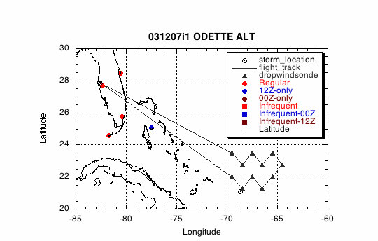
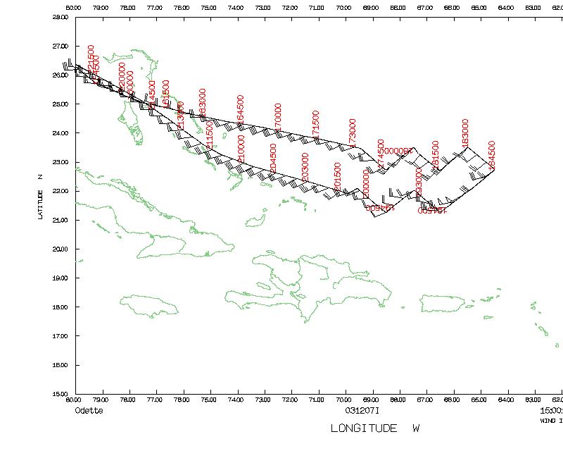
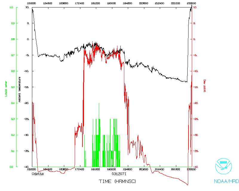
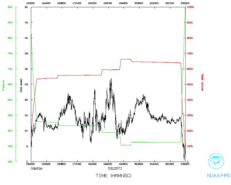
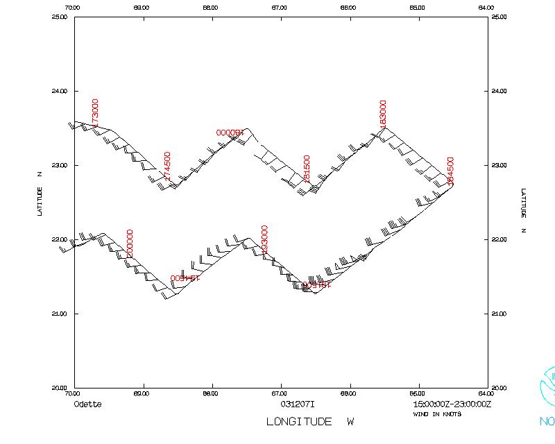
NOAA 43 left Tampa at 1454 UTC, 7 December 2003, and reached our first
drop point at 1732. NOAA 43 flew a zig-zag "Charlie Brown" pattern
around the forecast location of the remnant low of Odette. A Figure 4
pattern would not have been appropriate since there was no core
remaining to the system.
No circulation was apparent at flight level, and dropwindsondes hinted
at a closed circulation east of the surface cold front. At the end of
the flight, it became apparent that a convective line associated with
the tail end of the surface front was curving inward toward the
low-level circulation center, and another convection line was developing
on the eastern side. After departure, satellite images showed a
convective blowup over the center, and redevelopment of the surface
center detached from the surface front.
NOAA 43 returned to MacDill at 2306 UTC.
Evaluation :
The mission went well, even if Odette was not the strong tropical storm
we had hoped for.
Problems :
- Dropwindsonde (HAPS) operators were not trained to archive
data with the new HAPS. Paul Leighton assisted in the archive.
- HAPS did not work normally. Clicking on the sonde file did
not start editsonde. Editsonde was started manually on a command
line in a terminal for each sonde.
- New HAPS does not have scrollbars in windows like old HAPS.
This makes processing some sondes very difficult.
Sim Aberson
Lead Scientist
Mission Data
One minute listing
PROPOSED DROP LOCATIONS
| Drop #
| LAT
(° min)
| LON
(° min)
| TIME
(h:mm)
|
| 1 | 23 30 | 69 30 | 3:16
|
| 2 | 22 45 | 68 30 | 3:34
|
| 3 | 23 30 | 67 30 | 3:53
|
| 4 | 22 45 | 66 30 | 4:11
|
| 5 | 23 30 | 65 30 | 4:29
|
| 6 | 22 45 | 64 30 | 4:47
|
| 7 | 22 00 | 65 30 | 5:06
|
| 8 | 21 15 | 66 30 | 5:24
|
| 9 | 22 00 | 67 30 | 5:42
|
| 10 | 21 15 | 68 30 | 6:01
|
| 11 | 22 00 | 69 30 | 6:19
|
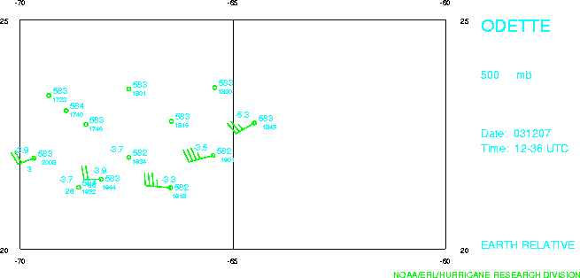
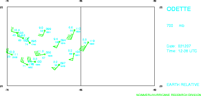
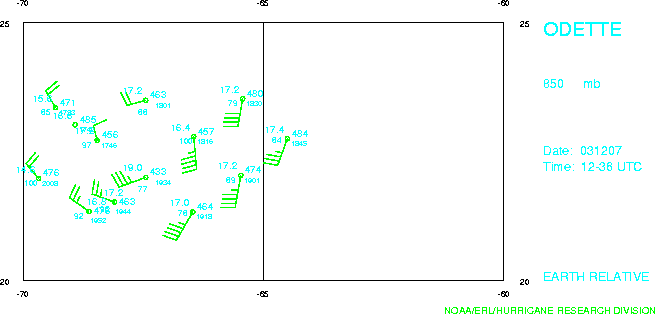
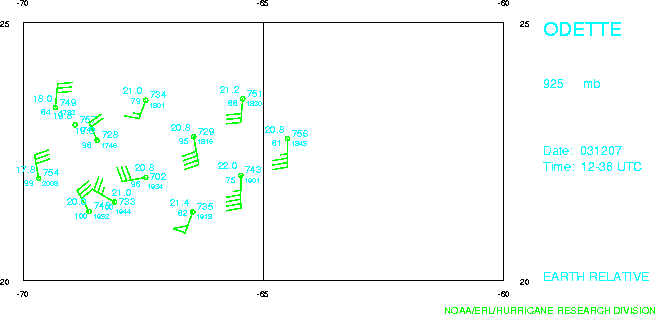
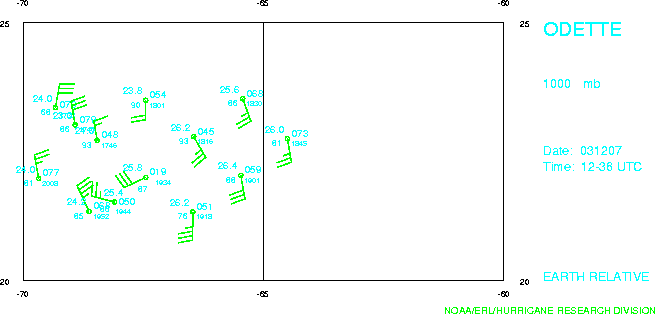
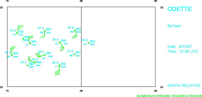
Dropsonde plots at various levels
500 mb
700 mb
850 mb
925 mb
1000 mb
surface
Return to Mission page.