Mission Summary
20171007N1 Aircraft 49RF
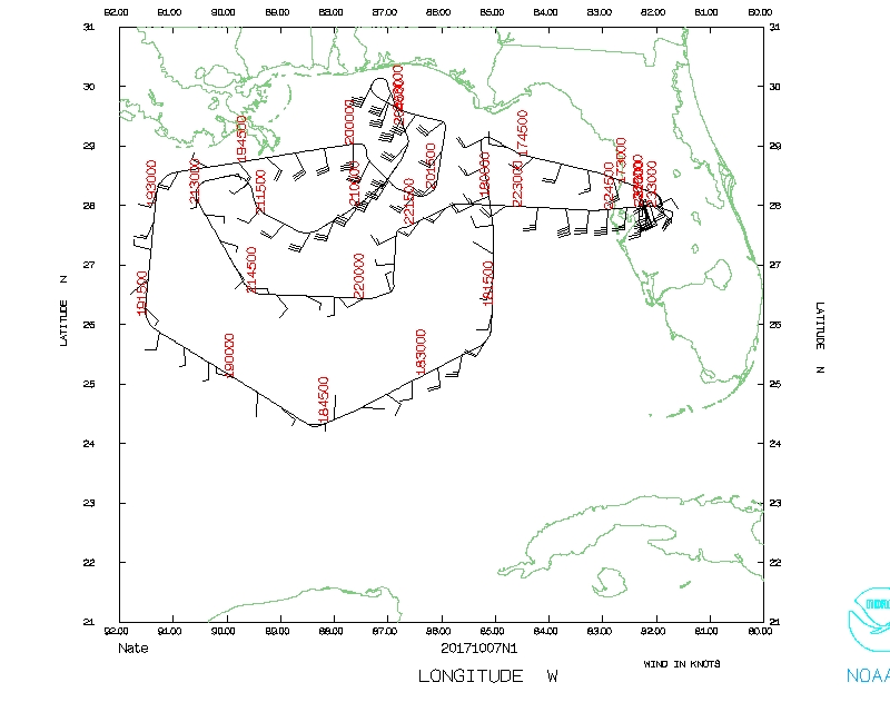
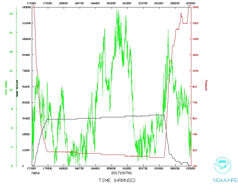
Tropical Storm Nate (AL16)
AIPEX
Aircraft Crew (49RF)
| Aircraft Commander | Kristie Twining
|
| Co-pilot | Tanner Sims
|
| Flight Director | Ian Sears
|
| Flight Director | Rich Henning
|
| System Engineer | Joe Greene
|
| Data Technician | Smith
|
| AVAPS | Gabe Defeo
|
Mission Plan :
NOAA 49RF (N49) will fly an HRD-tasked AIPEX mission around Tropical Storm Nate.
HURRICANE SYNOPTIC SURVEILLANCE MISSION PLAN: NATE
Prepared by the Hurricane Research Division
October 06, 2017 4:20:23 PM
Aircraft: N49RF
Proposed takeoff: 07/1730Z
|
|
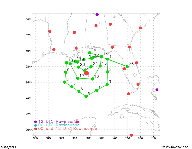
DROP LOCATION TABLE
|
| #
| LAT
| LON
| RAD/AZM
| Time
|
|
| deg min
| deg min
| nm deg
| hr:min
|
| 1S | 28 57 | 84 59 | 200/060 | 0:25
|
| 2I | 27 21 | 85 02 | | 0:39
|
| 3S | 25 44 | 85 05 | 200/120 | 0:52
|
| 4I | 24 59 | 86 42 | | 1:06
|
| 5S | 24 13 | 88 19 | 200/180 | 1:20
|
| 6I | 24 50 | 89 23 | | 1:30
|
| 7I | 25 26 | 90 28 | | 1:39
|
| 8S | 26 02 | 91 33 | 200/240 | 1:49
|
| 9I | 27 16 | 91 25 | | 2:00
|
| 10S | 28 31 | 91 17 | 160/285 | 2:10
|
| 11I | 28 42 | 89 57 | | 2:21
|
| 12I | 28 54 | 88 37 | | 2:30
|
| 13I | 29 05 | 87 17 | | 2:40
|
| 14S | 29 17 | 85 56 | 150/060 | 2:50
|
| 15S | 28 04 | 86 09 | 120/090 | 3:01
|
| 16S | 26 26 | 87 19 | 120/150 | 3:18
|
| 17S | 26 31 | 89 34 | 120/210 | 3:35
|
| 18S | 28 21 | 90 44 | 120/270 | 3:53
|
| 19S | 28 34 | 89 36 | 60/280 | 4:03
|
| 20S | 27 56 | 89 28 | 60/240 | 4:09
|
| 21S | 27 29 | 88 30 | 60/180 | 4:18
|
| 22S | 28 01 | 87 32 | 60/120 | 4:27
|
| 23S | 29 05 | 87 32 | 60/060 | 4:37
|
| 24S | 29 46 | 87 46 | 80/030 | 4:44
|
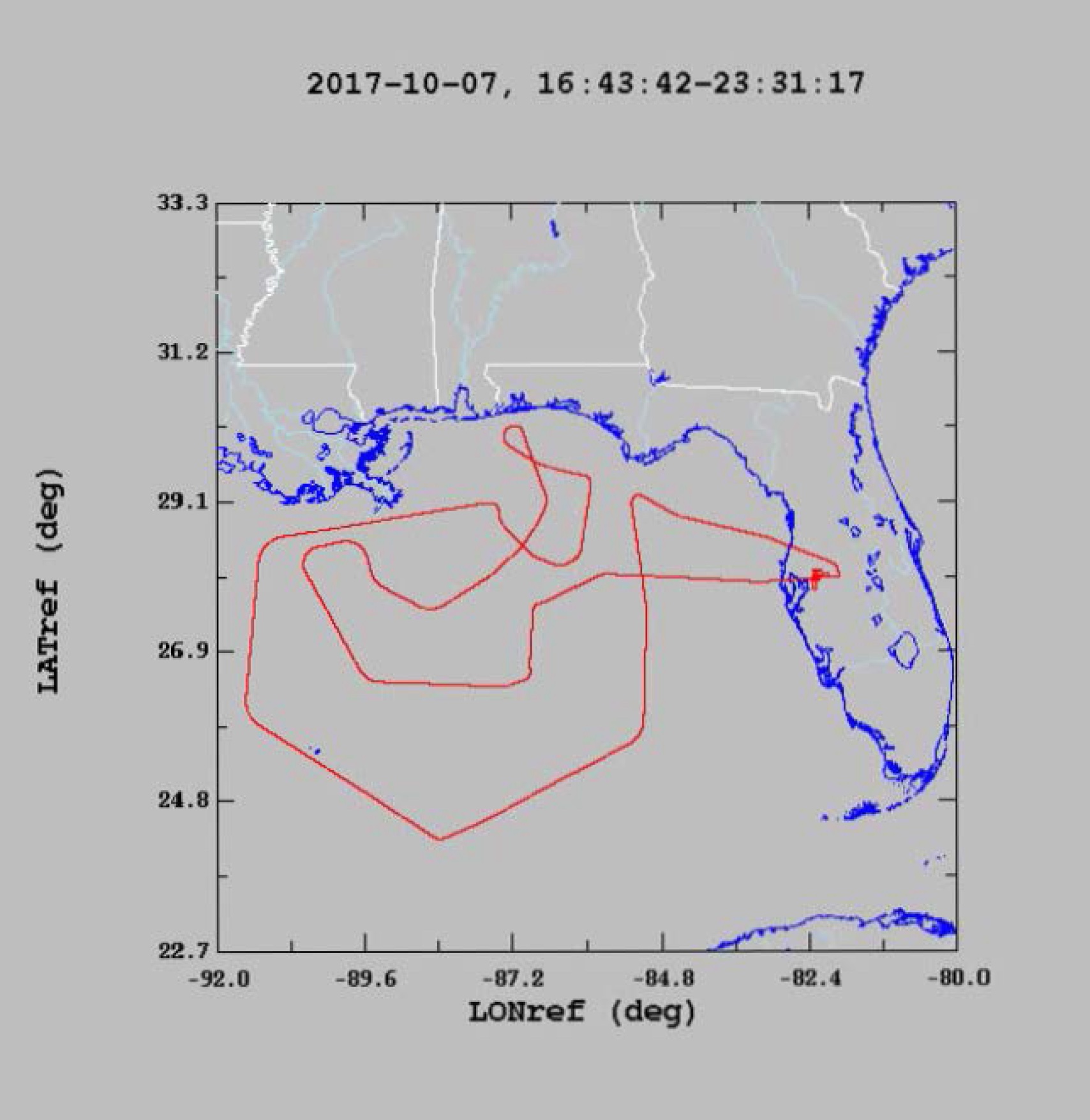
Mission Summary :
| Take off
| Landing
| Linder-Lakeland, FL | 17:19 UTC
| Linder-Lakeland, FL | 23:25 UTC
| |
Expendables: 26 dropsondes, 1 bad.
Problems :
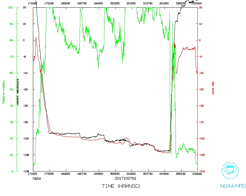
Mission Data :
Flight Director's log |
Flight Director's manifest |
NetCDF data |
serial data
Page last updated Nov. 8, 2017
Return to Mission page.