Mission Summary
20080923H1 Aircraft 42RF
Kyle Ocean Winds flight 2008
Scientific Crew (42RF)
| Lead Scientist | Sim Aberson |
| Radar Scientist | Shirley Murillo |
| Dropsonde Scientist | Kathryn Sellwood |
| NESDIS Scientist | Paul Chang |
| NESDIS Scientist | Zorana Jelenak |
| NESDIS Scientist | Joe Manus |
| NESDIS Scientist | Leonard Miller |
Flight Crew (42RF)
| Pilots | Mark Nelson
Al Girimonte |
| Flight Director | Barry Damiano |
| Navigator | Peter Siegel |
| Flt. Eng. | Greg Bast
Steve Wade |
| Data Tech | Jim Roles |
| Elec. Tech | Bill Olney
Joe Bosko |
Mission Plan :
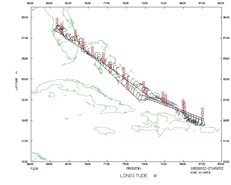
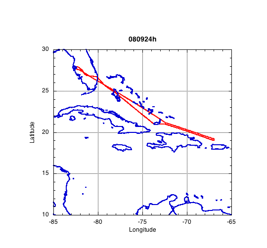
N42RF is assigned a mission into AL93 (before genesis into Kyle). The plan
is for a WNW to ESE pass through the center and then fly an Ocean Winds
pattern. If the Air Force finds a center, we will do a Figure 4 pattern.
Mission Summary :
| Take off
| Landing
| MacDill AFB, FL | 19:54 UTC
| MacDill AFB, FL | 03:46 UTC
| |
Because the system was in a pre-genesis stage, there were only a few scatterers
during the pass through what was an apparent center. During the first pass,
it seemed that a flight-level center had developed over Hispañola.
Two radar analyses were sent, but the lack of scatterers meant that they
were not particularly meaningful. Two sets of superobs were also sent in
real time.
The system turned out to be very disorganized. A few wind shifts were seen
at flight level, but no closed circulations. The system will have to wait
for a while before developing.
Problems :
There were many problems with computers during the flight. The trackball
for the workstation failed during Ike, but was not replaced. Therefore,
the workstation would not boot until we borrowed a trackball from AOC. In
addition, the network to the laptop was down at the beginning of the flight
due to unplugged wires that were hard to find. A port on the AOC data system
did not work, so our connection to ASDL was also down at the start of the
flight. All these problems were unrelated to each other.
In the midst of the flight, the tail radar went down once again. The ASAU
was replaced, and the radar worked for the remainder of the season.
Mission Data :
Dropsonde plots
850 mb
925 mb
1000 mb
surface
One second listing
NetCDF listing
Page last updated February 25, 2000
Return to Mission page.